Enable Location

We need your location to show you interesting places around you

Discover nearby places

Find interesting locations and hidden gems around you

Precise directions

Get accurate directions and distances to places

Your location is never shared with other users. It's only used when you tap the location button.

Lyon County

Log in to your account

Start exploring — it's free

Trusted by 61,323 travelers worldwide

Continue with Google
Continue with Apple
or

We will send you a code to connect

By continuing, you accept our Terms and Conditions and our Privacy Policy

Check your inbox

We've sent a pincode in your inbox. Please enter the code below.

Lyon County, County administrative division in northwest Iowa, US.

Description

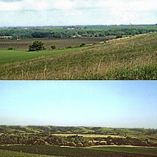
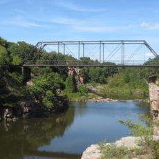
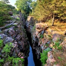
Lyon County is an administrative division in northwest Iowa with Rock Rapids serving as its county seat. The area encompasses mixed terrain including the recreational waters of Lake Pahoja and encompasses multiple small communities.

History

The area was established as Lyon County in 1851 and named in honor of Brigadier General Nathaniel Lyon. Its creation followed a land treaty with the Sioux people who had previously inhabited the region.

Culture

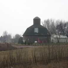
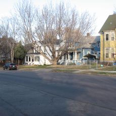
The county maintains multiple school districts, community centers, and recreational facilities, serving a population of 11,934 residents across eight municipalities.

Practical

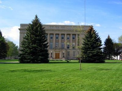
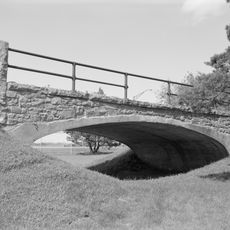
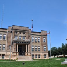
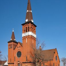
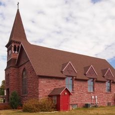
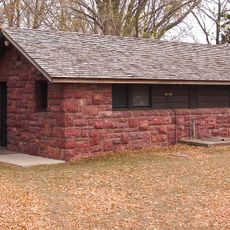
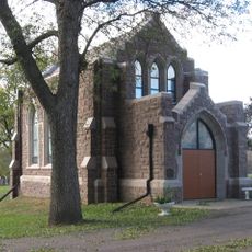
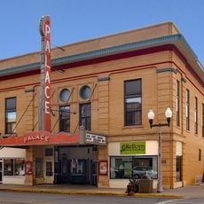
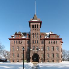
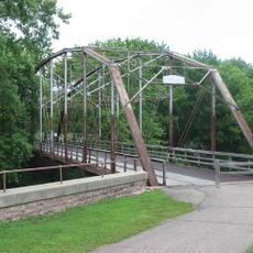
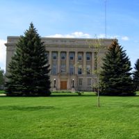
The region has local services and administrative offices centered in Rock Rapids. Visitors will find recreational areas, parks, and community facilities distributed across the county's small towns.

Did you know?

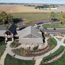
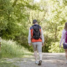
Lake Pahoja occupies a protected recreation area with lodges, playgrounds, and sports facilities for local activities. This waterside hub provides a focal point for leisure in the otherwise agricultural landscape.

Location
Inception
January 15, 1851
Capital city
Rock Rapids
Shares border with
Minnehaha County, Lincoln County, Osceola County, Rock County, Nobles County, Sioux County, O'Brien County
GPS coordinates
43.38333,-96.21667
Latest update
December 7, 2025 20:47

AroundUs brings together thousands of curated places, local tips, and hidden gems, enriched daily by 60,000 contributors worldwide. Discover all places nearby (Iowa).

Around this place
KDLT tower
United States of America

KDLT tower

30.6 km
Blue Mounds State Park
United States of America

Blue Mounds State Park

37.2 km
Blood Run Site
United States of America

Blood Run Site

30.9 km
Palisades State Park
United States of America

Palisades State Park

41.6 km
Good Earth State Park
United States of America

Good Earth State Park

32.2 km
First Reformed Church
United States of America

First Reformed Church

43.4 km
Carnegie Library
United States of America

Carnegie Library

37.1 km
United States of America

Beaver Creek Nature Area

32.7 km
All Saints School Main Building
United States of America

All Saints School Main Building

44.7 km
Melan Bridge
United States of America

Melan Bridge

7.5 km
Shafer Round Barn
United States of America

Shafer Round Barn

39.2 km
Osceola County Courthouse
United States of America

Osceola County Courthouse

38 km
Church of St. Adrian-Catholic
United States of America

Church of St. Adrian-Catholic

36 km
Lyon County Courthouse
United States of America

Lyon County Courthouse

6.6 km
Canton Lutheran Church
United States of America

Canton Lutheran Church

31.6 km
Palisades Bridge
United States of America

Palisades Bridge

41.8 km
Holy Trinity Church-Episcopal
United States of America

Holy Trinity Church-Episcopal

30.3 km
Great Bear Recreation Park
United States of America

Great Bear Recreation Park

42.1 km
All Saints Historic District
United States of America

All Saints Historic District

44.5 km
Gitchie Manitou State Preserve
United States of America

Gitchie Manitou State Preserve

32.9 km
Blue Mounds State Park WPA/Rustic Style Historic Resources
United States of America

Blue Mounds State Park WPA/Rustic Style Historic Resources

37.1 km
Josephine Martin Glidden Memorial Chapel
United States of America

Josephine Martin Glidden Memorial Chapel

42.9 km
Palace Theatre
United States of America

Palace Theatre

30.2 km
Old Main
United States of America

Old Main

30.6 km
Devil's Gulch Park
United States of America

Devil's Gulch Park

44 km
Bridge at Iverson Crossing
United States of America

Bridge at Iverson Crossing

35 km
Cherry Rock Park Bridge
United States of America

Cherry Rock Park Bridge

43 km
Railroad bridge over Sioux River
United States of America

Railroad bridge over Sioux River

44.3 km
Show the full map
Administrative divisions
« Lyon County - County administrative division in northwest Iowa, US » is provided by Around Us (aroundus.com). Images and texts are derived from Wikimedia project under a Creative Commons license. You are allowed to copy, distribute, and modify copies of this page, under the conditions set by the license, as long as this note is clearly visible.

Discover hidden gems everywhere you go!

From secret cafés to breathtaking viewpoints, skip the crowded tourist spots and find places that match your style. Our app makes it easy with voice search, smart filtering, route optimization, and insider tips from travelers worldwide. Download now for the complete mobile experience.

Around Us App Screenshot

A unique approach to discovering new places

Le Figaro

All the places worth exploring

France Info

A tailor-made excursion in just a few clicks

20 Minutes

Around Us
Travel Guide & Maps
Download

Send to your phone

QR Code
1

Open the camera app on your mobile.

2

Point at the QR code with your camera. A notification will appear.

3

Tap the notification to open the link.