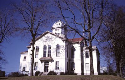
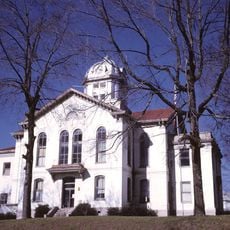
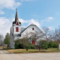
Jackson County, Administrative county in northeastern Georgia, United States
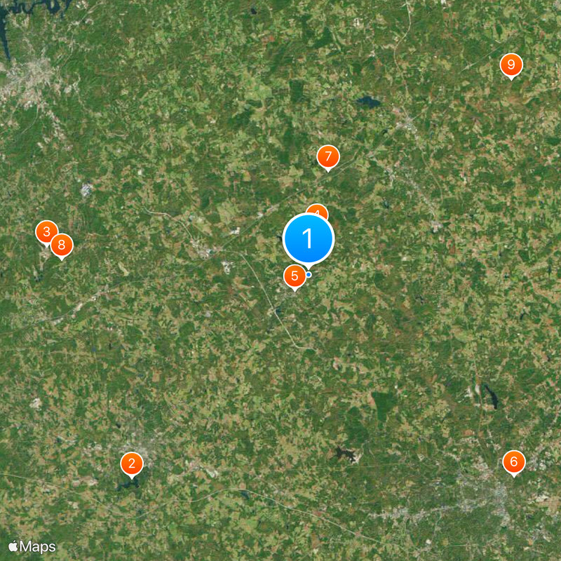
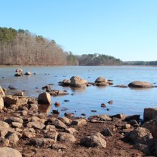
Jackson County spans approximately 343 square miles in northeastern Georgia with multiple rivers and waterways flowing through it. The North Oconee River and Sandy Creek are the main water features that shape the landscape and land patterns.
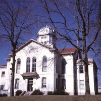
The county was established in 1796 from Franklin County land and named after James Jackson, a military leader in the American Revolution. This founding marked part of Georgia's early expansion into its frontier regions.
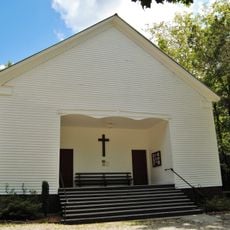
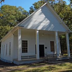
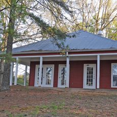
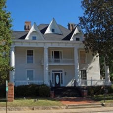
Communities here gather for annual celebrations like the Daisy Festival and Mule Days that reflect rural traditions and shared identity. These events bring people together to mark seasons and honor the character of life in the region.
Interstate 85, U.S. Route 129, and State Route 11 connect the area to nearby regions with reliable road access. The road network makes it easy to travel through and reach larger communities and attractions in surrounding areas.
The area functions as part of the Jefferson Micropolitan Statistical Area, linking rural communities to the broader economic network of Atlanta and Athens. This connection allows residents to maintain their country character while staying linked to nearby urban centers.
Location: Georgia
Inception: February 11, 1796
Capital city: Jefferson
Shares border with: Banks County, Madison County, Clarke County, Oconee County, Barrow County, Gwinnett County, Hall County
Website: http://jacksoncountygov.com
GPS coordinates: 34.13000,-83.56000
Latest update: December 14, 2025 00:21
Fort Yargo State Park
23.9 kmLanier National Speedway
23.4 km
Gresham Motorsports Park
4.1 kmCrawford W. Long Museum
1.8 km
Gospel Pilgrim Cemetery
25.6 kmHurricane Shoals Park
9.4 kmThompson Mills Forest
22 km
Hebron Church, Cemetery, and Academy
25 kmGovernor L. G. Hardman House
12.4 km
Jackson County Courthouse
1.9 km
Rockwell Universalist Church
17.7 km
Barrow County Courthouse
21.4 km
Maysville Historic District
13.9 km
Beulah Rucker House-School
27 kmNew Salem Covered Bridge
19.1 km
North Broad Street Residential Historic District
20.9 kmSeaborn M. Shankle House
12.6 kmBarrow County Historical Society and Museum
21.4 kmEx Nihilo Observatory
17.1 kmShields Ethridge Heritage Farm
7.9 kmDam Number 10
19.5 kmAthens-Candler-Church Street Historic District
21.3 kmMarbury Lake
25.9 kmMasseys Lake
23.6 kmReservoir 15
15.5 kmWinder Reservoir
21.3 kmJackson Street Commerical Historic District
21.3 kmBroad Street Commercial Historic District
21.3 kmVisited this place? Tap the stars to rate it and share your experience / photos with the community! Try now! You can cancel it anytime.
Discover hidden gems everywhere you go!
From secret cafés to breathtaking viewpoints, skip the crowded tourist spots and find places that match your style. Our app makes it easy with voice search, smart filtering, route optimization, and insider tips from travelers worldwide. Download now for the complete mobile experience.
A unique approach to discovering new places❞
— Le Figaro
All the places worth exploring❞
— France Info
A tailor-made excursion in just a few clicks❞
— 20 Minutes