Isanti County

Log in to your account

AroundUs is a community-driven map of interesting places, built by curious explorers like you. It grows with every review, story, and photo you share.
Connect to save your favorite spots, contribute locations, and create personalized routes.
Continue with Google
Continue with Apple
Continue with X
Continue with Facebook
Continue with email
By continuing, you accept our Terms and Conditions and our Privacy Policy
Create an account
Add to collection
Map
Suggest a change
Share

Isanti County, Administrative division in Minnesota, United States

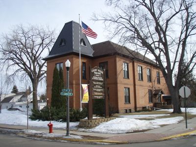
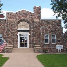
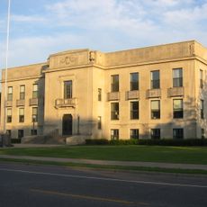
Isanti County is an administrative division in Minnesota with separate offices including Administration, the District Attorney, Health Services, and the Sheriff's Department. These departments work together to help residents with permits, public records, and law enforcement needs.

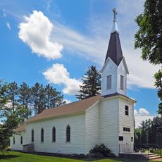
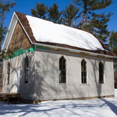
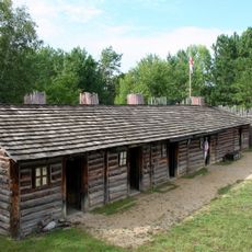
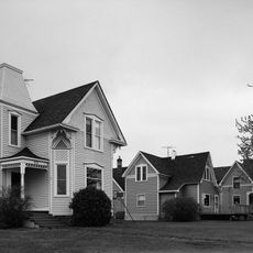
The area was home to Ojibwa people in early times before being settled by Europeans in the 1800s. The name comes from Ojibwa words related to the rambunctious or headstrong nature of someone.

The University of Minnesota Extension program here offers workshops and information about farming, home economics, and family life that locals regularly use.

Visitors can go to the County Government Center to handle paperwork, ask questions, or attend public meetings about local matters. Staff are available during regular business hours to help with permits, records, and general information.

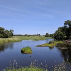
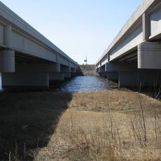
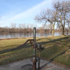
The county operates about 24 public drainage systems that manage water flow and prevent flooding across the landscape. Few visitors realize how much of the rural infrastructure depends on these hidden networks working behind the scenes.

GPS coordinates: 45.56932,-93.32652

Latest update: December 7, 2025 20:43

Photos
Around this place
Sherburne National Wildlife Refuge
United States of America

Sherburne National Wildlife Refuge

32.6 km
Cedar Creek Ecosystem Science Reserve
United States of America

Cedar Creek Ecosystem Science Reserve

20.4 km
The Crossing Church
United States of America

The Crossing Church

25.2 km
Carlos Avery Game Farm
United States of America

Carlos Avery Game Farm

34.9 km
Swedish Evangelical Lutheran Church
United States of America

Swedish Evangelical Lutheran Church

32 km
Betty Adkins Bridge
United States of America

Betty Adkins Bridge

36.1 km
Milaca Municipal Hall
United States of America

Milaca Municipal Hall

32.6 km
Svenska Mission Kyrka I Sodre Maple Ridge
United States of America

Svenska Mission Kyrka I Sodre Maple Ridge

10.8 km
Crescent Grange Hall No. 512
United States of America

Crescent Grange Hall No. 512

27.3 km
Sparre Barn
United States of America

Sparre Barn

28.4 km
Ogilvie Watertower
United States of America

Ogilvie Watertower

30.2 km
Isanti County Courthouse
United States of America

Isanti County Courthouse

7.8 km
St. John's Lutheran Church
United States of America

St. John's Lutheran Church

8.3 km
Kanabec County Courthouse
United States of America

Kanabec County Courthouse

34.4 km
Snake River Fur Post
United States of America

Snake River Fur Post

35.1 km
Parrish Avenue Bridge
United States of America

Parrish Avenue Bridge

35.2 km
Henry G. Leathers House
United States of America

Henry G. Leathers House

20.6 km
Babcock Memorial Park
United States of America

Babcock Memorial Park

35.9 km
Center City Historic District
United States of America

Center City Historic District

44.3 km
Mille Lacs County Courthouse
United States of America

Mille Lacs County Courthouse

32.1 km
Goose Creek
United States of America

Goose Creek

26.3 km
District No. 28 School
United States of America

District No. 28 School

38.5 km
Sand Dunes State Forest
United States of America

Sand Dunes State Forest

34.2 km
Snake River Fur Post State Historic Site
United States of America

Snake River Fur Post State Historic Site

37.2 km
Porter Kelsey House
United States of America

Porter Kelsey House

36.8 km
Carlos Avery State Wildlife Management Area
United States of America

Carlos Avery State Wildlife Management Area

33.8 km
Rusheba Lookout Tower
United States of America

Rusheba Lookout Tower

34.2 km
Cambridge Lookout Tower
United States of America

Cambridge Lookout Tower

7.9 km
Show the full map
Reviews

Visited this place? Tap the stars to rate it and share your experience / photos with the community! Try now! You can cancel it anytime.

« Isanti County - Administrative division in Minnesota, United States » is provided by Around Us (aroundus.com). Images and texts are derived from Wikimedia project under a Creative Commons license. You are allowed to copy, distribute, and modify copies of this page, under the conditions set by the license, as long as this note is clearly visible.

Discover hidden gems everywhere you go!

From secret cafés to breathtaking viewpoints, skip the crowded tourist spots and find places that match your style. Our app makes it easy with voice search, smart filtering, route optimization, and insider tips from travelers worldwide. Download now for the complete mobile experience.

Around Us App Screenshot

A unique approach to discovering new places

Le Figaro

All the places worth exploring

France Info

A tailor-made excursion in just a few clicks

20 Minutes