Houston County

Log in to your account

AroundUs is a community-driven map of interesting places, built by curious explorers like you. It grows with every review, story, and photo you share.
Connect to save your favorite spots, contribute locations, and create personalized routes.
Continue with Google
Continue with Apple
Continue with X
Continue with Facebook
Continue with email
By continuing, you accept our Terms and Conditions and our Privacy Policy
Create an account
Add to collection
Map
Suggest a change
Share

Houston County, Administrative county in southeastern Minnesota, US.

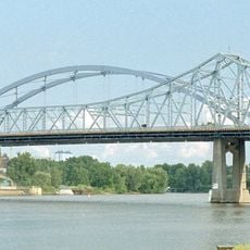
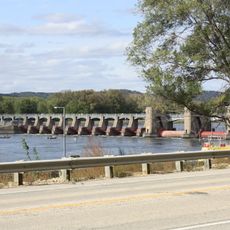
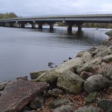
Houston County is an administrative county in southeastern Minnesota covering about 1,470 square kilometers (570 square miles). The land varies from rolling hills in the west to steeper terrain near the Mississippi River, with major highways 14 and 61 running through the area to connect it with neighboring regions.

The county was established on April 4, 1854, and named after Sam Houston, the president of the Republic of Texas. This naming choice reflects connections to early American history during the period of territorial expansion.

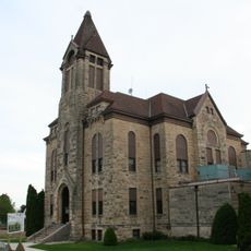
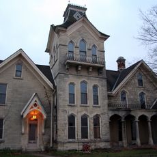
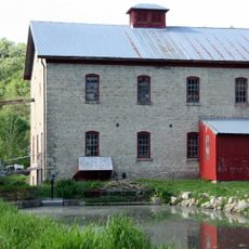
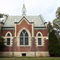
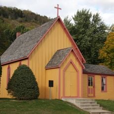
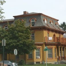
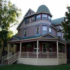
German and Scandinavian settlers left their mark on how people farm and organize their communities throughout the county. You can still see this heritage in the layout of farms and villages across the landscape today.

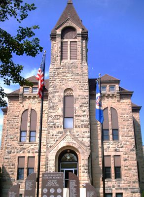
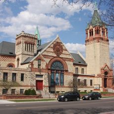
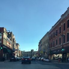
Caledonia serves as the county seat and the main hub for administrative services in the area. The layout and highway access make it straightforward to drive through different parts of the county or reach neighboring regions by car.

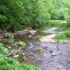
Part of the Upper Mississippi River National Wildlife and Fish Refuge lies within the county and provides habitat for a wide range of species. This protected area serves as a stopping point for migrating birds and is often overlooked by visitors.

Location: Minnesota

Inception: April 4, 1854

Capital city: Caledonia

Shares border with: Winona County, La Crosse County, Vernon County, Allamakee County, Winneshiek County, Fillmore County

Website: https://co.houston.mn.us

GPS coordinates: 43.67000,-91.49000

Latest update: December 7, 2025 20:23

Photos
Around this place
Mississippi River Bridge
United States of America

Mississippi River Bridge

24.2 km
Beaver Creek Valley State Park
United States of America

Beaver Creek Valley State Park

7.8 km
St. Rose of Viterbo Convent
United States of America

St. Rose of Viterbo Convent

24.8 km
La Crosse Rail Bridge
United States of America

La Crosse Rail Bridge

25.9 km
Lock and Dam No. 8
United States of America

Lock and Dam No. 8

23.6 km
Statue of Hiawatha
United States of America

Statue of Hiawatha

25 km
United States of America

Riverside Park

24.8 km
Houston County Courthouse and Jail
United States of America

Houston County Courthouse and Jail

4.2 km
Freight House
United States of America

Freight House

25 km
La Crosse West Channel Bridge
United States of America

La Crosse West Channel Bridge

24.1 km
Mons Anderson House
United States of America

Mons Anderson House

24.6 km
Christ Episcopal Church
United States of America

Christ Episcopal Church

25.3 km
Gideon C. Hixon House
United States of America

Gideon C. Hixon House

25.4 km
Schech Mill
United States of America

Schech Mill

7.3 km
Our Lady of Sorrows Chapel
United States of America

Our Lady of Sorrows Chapel

26.5 km
Church of the Holy Comforter
United States of America

Church of the Holy Comforter

17.4 km
Iron Post
United States of America

Iron Post

25.2 km
La Crosse Commercial Historic District
United States of America

La Crosse Commercial Historic District

24.8 km
Wittich Hall
United States of America

Wittich Hall

26.4 km
10th and Cass Streets Neighborhood Historic District
United States of America

10th and Cass Streets Neighborhood Historic District

25.4 km
La Crosse Armory
United States of America

La Crosse Armory

24.2 km
Spring Grove Public Library
United States of America

Spring Grove Public Library

17.1 km
La Crescent Public Library
United States of America

La Crescent Public Library

23.1 km
Gund Brewing Company Bottling Works
United States of America

Gund Brewing Company Bottling Works

24.2 km
Portland Prairie Methodist Episcopal Church
United States of America

Portland Prairie Methodist Episcopal Church

16 km
John L. Callahan House
United States of America

John L. Callahan House

27 km
23rd and 24th Streets Historic District
United States of America

23rd and 24th Streets Historic District

27 km
Rivoli Theatre
United States of America

Rivoli Theatre

25 km
Show the full map
Reviews

Visited this place? Tap the stars to rate it and share your experience / photos with the community! Try now! You can cancel it anytime.

« Houston County - Administrative county in southeastern Minnesota, US » is provided by Around Us (aroundus.com). Images and texts are derived from Wikimedia project under a Creative Commons license. You are allowed to copy, distribute, and modify copies of this page, under the conditions set by the license, as long as this note is clearly visible.

Discover hidden gems everywhere you go!

From secret cafés to breathtaking viewpoints, skip the crowded tourist spots and find places that match your style. Our app makes it easy with voice search, smart filtering, route optimization, and insider tips from travelers worldwide. Download now for the complete mobile experience.

Around Us App Screenshot

A unique approach to discovering new places

Le Figaro

All the places worth exploring

France Info

A tailor-made excursion in just a few clicks

20 Minutes