
Pope County, Administrative division in Minnesota, United States
Pope County extends across 717 square miles of terrain, containing natural lakes, agricultural fields, and rolling hills in central Minnesota.
The county formed in 1862 received its name from John Pope, a Union Army general who conducted land surveys in Minnesota.
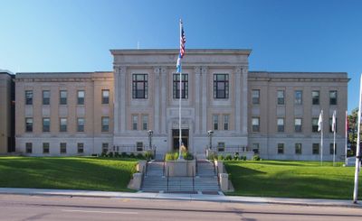
The Pope County Courthouse, built in 1930 in Beaux-Arts style, represents architectural heritage and maintains its place on the National Register of Historic Places.
The county connects to major transportation routes through Minnesota State Highways 9, 28, 29, 55, 104, and 114, with two municipal airports in Glenwood and Starbuck.
The Chippewa River system flows through the western section of Pope County, creating a network of waterways including the Little Chippewa and East Branch tributaries.
Location: Minnesota
Inception: February 20, 1862
Capital city: Glenwood
Shares border with: Douglas County, Stearns County, Swift County, Stevens County, Grant County, Kandiyohi County
Website: http://co.pope.mn.us
GPS coordinates: 45.59000,-95.45000
Latest update: March 4, 2025 23:50
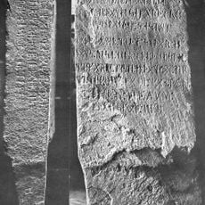
Kensington Runestone
30.2 km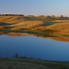
Glacial Lakes State Park
8.1 km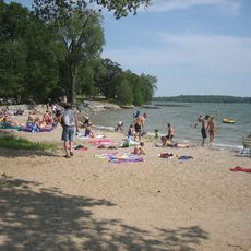
Sibley State Park
44.9 km
Lake Carlos State Park
46.2 km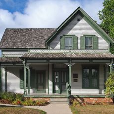
Sinclair Lewis Boyhood Home
41.7 km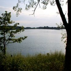
Monson Lake State Park
33.1 km
Viking Altar Rock
46.8 km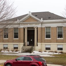
Glenwood Public Library
8.2 km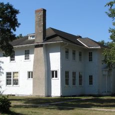
Minnesota Home School for Girls Historic District
43.1 km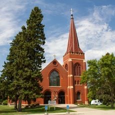
Church of St. Bridget-Catholic
36.9 km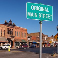
Original Main Street Historic District
42.1 km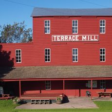
Terrace Mill
13.4 km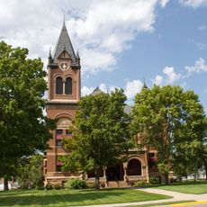
Swift County Courthouse
32.6 km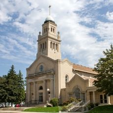
Church of St. Francis Xavier
32.4 km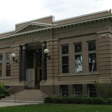
Morris Carnegie Library
36.4 km
Lewis H. Stanton House
36.9 km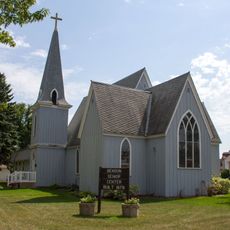
Christ Episcopal Church
32.7 km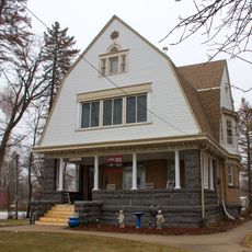
Christopher Borgerding House
38.1 km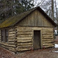
Urjans Iverson House
21.5 km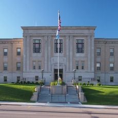
Pope County Courthouse
8.2 km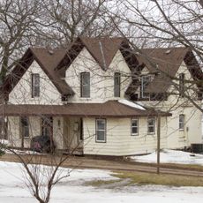
Daniel Pennie House
20.8 km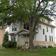
Alberta Teachers House
46.6 km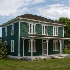
Sabin S. Murdock House
41 km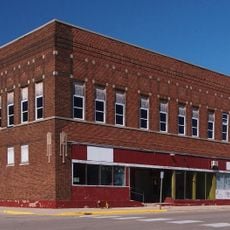
Fremad Association Building
8.1 km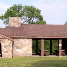
Monson Lake State Park CCC/WPA/Rustic Style Historic Resources
32.9 km
Sibley State Park CCC/Rustic Style Historic District
44.6 km
Lake Carlos State Park WPA/Rustic Style Historic District
45.9 km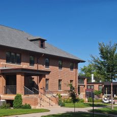
West Central School of Agriculture and Experiment Station Historic District
35.1 kmReviews
Visited this place? Tap the stars to rate it and share your experience / photos with the community! Try now! You can cancel it anytime.
Discover hidden gems everywhere you go!
From secret cafés to breathtaking viewpoints, skip the crowded tourist spots and find places that match your style. Our app makes it easy with voice search, smart filtering, route optimization, and insider tips from travelers worldwide. Download now for the complete mobile experience.

A unique approach to discovering new places❞
— Le Figaro
All the places worth exploring❞
— France Info
A tailor-made excursion in just a few clicks❞
— 20 Minutes