Enable Location

We need your location to show you interesting places around you

Discover nearby places

Find interesting locations and hidden gems around you

Precise directions

Get accurate directions and distances to places

Your location is never shared with other users. It's only used when you tap the location button.

Kandiyohi County

Log in to your account

Start exploring — it's free

Trusted by 61,900 travelers worldwide

Continue with Google
Continue with Apple
or

We will send you a code to connect

By continuing, you accept our Terms and Conditions and our Privacy Policy

Check your inbox

We've sent a pincode in your inbox. Please enter the code below.

Kandiyohi County, Administrative county in central Minnesota, United States.

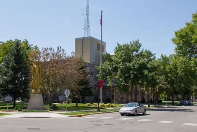
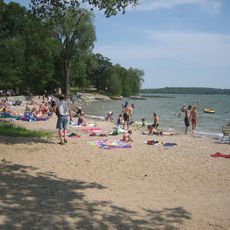
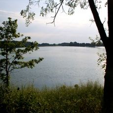
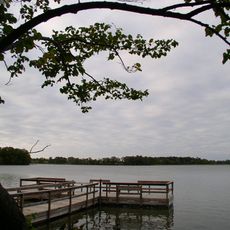
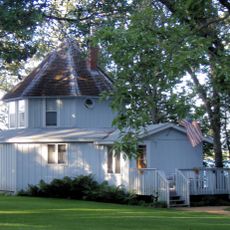
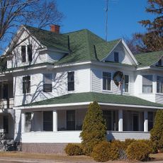
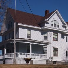
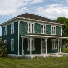
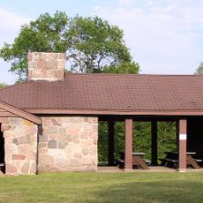
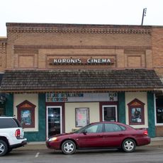
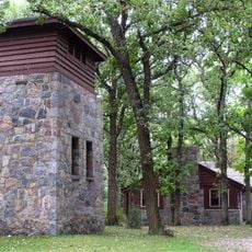
Kandiyohi County is an administrative region in central Minnesota that spans grasslands and lakes across multiple towns, with Willmar functioning as the county seat. The landscape mixes farmland, residential neighborhoods, and commercial areas that serve the local population.

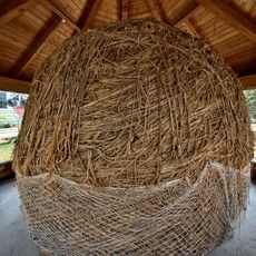
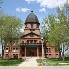
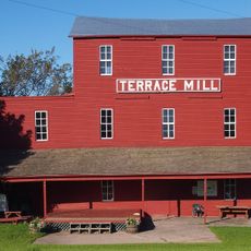
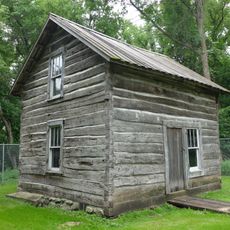
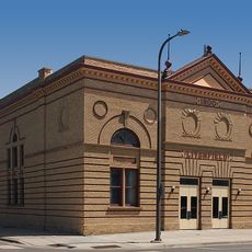
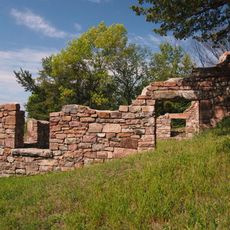
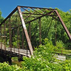
The county was established in 1858 during Minnesota's territorial organization and began as a farming community. Industrial development later brought manufacturing and other economic activities that shaped its growth.

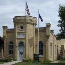
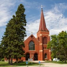
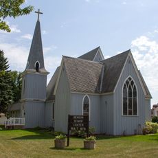
Scandinavian heritage shapes how communities gather and celebrate throughout the region, visible in local traditions and the way people mark seasons together. These customs create a rhythm that connects different towns within the county.

County services and administrative offices are centralized in Willmar, where visitors can find information and guidance on local matters. Most services operate during standard business hours on weekdays, making midweek visits most practical.

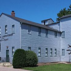
The region blends farming traditions with modern industries like biotechnology and manufacturing all within one area, creating an unusual mix for a rural county. This economic diversity grew from the area's natural resources and entrepreneurial development over decades.

The community of curious travelers

AroundUs brings together thousands of curated places, local tips, and hidden gems, enriched daily by 60,000 contributors worldwide.

Start exploring
Location
Inception
March 20, 1858
Capital city
Willmar
Shares border with
Stearns County, Chippewa County, Renville County, Meeker County, Swift County, Pope County
GPS coordinates
45.15000,-95.01000
Latest update
December 7, 2025 19:29
Around this place
Biggest ball of twine
United States of America

Biggest ball of twine

47.5 km
Sibley State Park
United States of America

Sibley State Park

18.9 km
Monson Lake State Park
United States of America

Monson Lake State Park

27.9 km
Greenleaf Lake State Recreation Area
United States of America

Greenleaf Lake State Recreation Area

45.2 km
Renville County Courthouse and Jail
United States of America

Renville County Courthouse and Jail

41.7 km
Universal Laboratories Building
United States of America

Universal Laboratories Building

55.6 km
Grand Army of the Republic Hall
United States of America

Grand Army of the Republic Hall

38 km
Church of St. Bridget-Catholic
United States of America

Church of St. Bridget-Catholic

38 km
Forest City Stockade
United States of America

Forest City Stockade

43.2 km
Terrace Mill
United States of America

Terrace Mill

47 km
Endreson Cabin
United States of America

Endreson Cabin

8.4 km
Sacred Heart Public School
United States of America

Sacred Heart Public School

48.8 km
Swift County Courthouse
United States of America

Swift County Courthouse

49.9 km
Church of St. Francis Xavier
United States of America

Church of St. Francis Xavier

49.7 km
Ferdinand Peters House
United States of America

Ferdinand Peters House

57 km
Brightwood Beach Cottage
United States of America

Brightwood Beach Cottage

37.4 km
Litchfield Opera House
United States of America

Litchfield Opera House

38 km
Christ Episcopal Church
United States of America

Christ Episcopal Church

49.7 km
Christopher Borgerding House
United States of America

Christopher Borgerding House

33.6 km
John Oster House
United States of America

John Oster House

57.1 km
Urjans Iverson House
United States of America

Urjans Iverson House

38.9 km
Eugene Hermanutz House
United States of America

Eugene Hermanutz House

57.1 km
Sabin S. Murdock House
United States of America

Sabin S. Murdock House

31 km
Monson Lake State Park CCC/WPA/Rustic Style Historic Resources
United States of America

Monson Lake State Park CCC/WPA/Rustic Style Historic Resources

28.2 km
Joseph Brown House Ruins
United States of America

Joseph Brown House Ruins

56.2 km
Koronis Cinema
United States of America

Koronis Cinema

34.7 km
Sibley State Park CCC/Rustic Style Historic District
United States of America

Sibley State Park CCC/Rustic Style Historic District

18.4 km
Salisbury Bridge
United States of America

Salisbury Bridge

49.8 km
Show the full map
« Kandiyohi County - Administrative county in central Minnesota, United States » is provided by Around Us (aroundus.com). Images and texts are derived from Wikimedia project under a Creative Commons license. You are allowed to copy, distribute, and modify copies of this page, under the conditions set by the license, as long as this note is clearly visible.

Discover hidden gems everywhere you go!

From secret cafés to breathtaking viewpoints, skip the crowded tourist spots and find places that match your style. Our app makes it easy with voice search, smart filtering, route optimization, and insider tips from travelers worldwide. Download now for the complete mobile experience.

Around Us App Screenshot

A unique approach to discovering new places

Le Figaro

All the places worth exploring

France Info

A tailor-made excursion in just a few clicks

20 Minutes

Around Us
Travel Guide & Maps
Download

Send to your phone

QR Code
1

Open the camera app on your mobile.

2

Point at the QR code with your camera. A notification will appear.

3

Tap the notification to open the link.