Enable Location

We need your location to show you interesting places around you

Discover nearby places

Find interesting locations and hidden gems around you

Precise directions

Get accurate directions and distances to places

Your location is never shared with other users. It's only used when you tap the location button.

Boyle County

Log in to your account

Start exploring — it's free

Trusted by 62,606 travelers worldwide

Continue with Google
Continue with Apple
or

We will send you a code to connect

By continuing, you accept our Terms and Conditions and our Privacy Policy

Check your inbox

We've sent a pincode in your inbox. Please enter the code below.

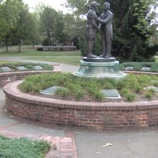
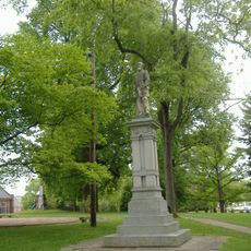
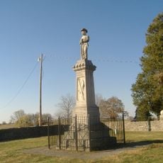
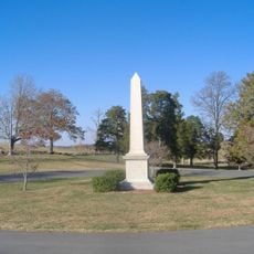
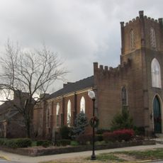
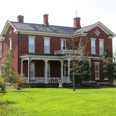
Boyle County, Administrative county in Central Kentucky, United States.

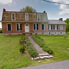
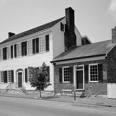
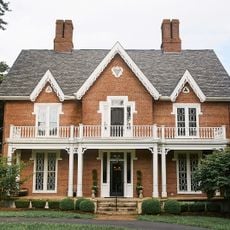
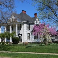
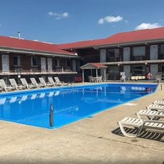
Boyle County is an administrative region in central Kentucky, with Danville serving as its county seat and only incorporated city. The area contains a mix of rural and urban zones connected by major transportation routes.

The county was established in 1842 and named after John Boyle, who served as Chief Justice of the Kentucky Court of Appeals. This founding reflected the state's expansion and administrative reorganization during that period.

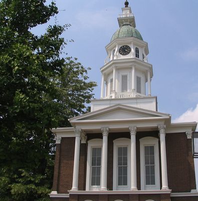
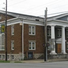
Centre College shapes the academic life of the region through its programs and influences how the community develops intellectually. The presence of the institution draws students and creates an educational focus in daily life.

The area is easily reached through U.S. Routes 68, 127, and 150, which connect well to surrounding regions. Plan to allow time for travel, as locations are spread across the broader territory.

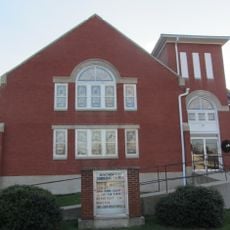
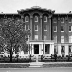
Danville is home to the Kentucky School for the Deaf, one of the oldest institutions of its kind in the United States. The school has shaped education for deaf and hard-of-hearing students throughout its long history.

The community of curious travelers

AroundUs brings together thousands of curated places, local tips, and hidden gems, enriched daily by 60,000 contributors worldwide.

Start exploring
Location
Inception
February 15, 1842
Capital city
Danville
Shares border with
Mercer County, Garrard County, Lincoln County, Casey County, Marion County, Washington County
GPS coordinates
37.62000,-84.87000
Latest update
December 7, 2025 19:29
Around this place
Perryville Battlefield State Historic Site
United States of America

Perryville Battlefield State Historic Site

10.7 km
Old Fort Harrod State Park
United States of America

Old Fort Harrod State Park

15.9 km
Pioneer Playhouse
United States of America

Pioneer Playhouse

10.2 km
Rocky Point Manor
United States of America

Rocky Point Manor

15.8 km
Constitution Square State Historic Site
United States of America

Constitution Square State Historic Site

9.2 km
Confederate Monument in Danville
United States of America

Confederate Monument in Danville

8.6 km
Ephraim McDowell House
United States of America

Ephraim McDowell House

9.2 km
Traveler's Rest
United States of America

Traveler's Rest

9.8 km
Isaac Shelby Cemetery State Historic Site
United States of America

Isaac Shelby Cemetery State Historic Site

9.8 km
Danville National Cemetery
United States of America

Danville National Cemetery

9.4 km
Elmwood Inn
United States of America

Elmwood Inn

7.8 km
Waveland
United States of America

Waveland

9 km
Confederate Monument in Perryville
United States of America

Confederate Monument in Perryville

10.8 km
Carry A. Nation House
United States of America

Carry A. Nation House

16.8 km
Union Monument in Perryville
United States of America

Union Monument in Perryville

10.8 km
First Presbyterian Church
United States of America

First Presbyterian Church

8.6 km
Warrenwood Manor
United States of America

Warrenwood Manor

8.9 km
East Main Street Historic District
United States of America

East Main Street Historic District

9.9 km
Perryville Historic District
United States of America

Perryville Historic District

7.9 km
First Christian Church
United States of America

First Christian Church

8 km
St. Peter's AME Church
United States of America

St. Peter's AME Church

16 km
James W. Alcorn House
United States of America

James W. Alcorn House

20.2 km
St. Philip's Episcopal Church
United States of America

St. Philip's Episcopal Church

15.8 km
Carnegie Library
United States of America

Carnegie Library

8.5 km
Beaumont Avenue Residential District
United States of America

Beaumont Avenue Residential District

15.4 km
Brightleaf Golf Resort
United States of America

Brightleaf Golf Resort

11.5 km
Kentucky School for the Deaf
United States of America

Kentucky School for the Deaf

9 km
Great American Dollhouse Museum
United States of America

Great American Dollhouse Museum

8.8 km
Show the full map
« Boyle County - Administrative county in Central Kentucky, United States » is provided by Around Us (aroundus.com). Images and texts are derived from Wikimedia project under a Creative Commons license. You are allowed to copy, distribute, and modify copies of this page, under the conditions set by the license, as long as this note is clearly visible.

Discover hidden gems everywhere you go!

From secret cafés to breathtaking viewpoints, skip the crowded tourist spots and find places that match your style. Our app makes it easy with voice search, smart filtering, route optimization, and insider tips from travelers worldwide. Download now for the complete mobile experience.

Around Us App Screenshot

A unique approach to discovering new places

Le Figaro

All the places worth exploring

France Info

A tailor-made excursion in just a few clicks

20 Minutes

Around Us
Travel Guide & Maps
Download

Send to your phone

QR Code
1

Open the camera app on your mobile.

2

Point at the QR code with your camera. A notification will appear.

3

Tap the notification to open the link.