
Morrow County, Administrative division in Oregon, United States.
Morrow County encompasses over 2,000 square miles of territory, featuring agricultural lands, rolling hills, and the Columbia River along its northern border.
The county was formed in 1886 from parts of Umatilla County, establishing Heppner as its administrative center and primary governmental hub.
The county fair brings together local farmers, ranchers, and residents to showcase agricultural products, livestock, and regional traditions throughout the year.
The Morrow County Sheriff's Office maintains public safety across the region, while the Board of Commissioners oversees land use and infrastructure development.
The county's agricultural sector produces substantial quantities of wheat, barley, and hay, contributing to Oregon's farming output through its fertile soil conditions.
Location: Ohio
Inception: February 24, 1848
Capital city: Mount Gilead
Shares border with: Crawford County, Delaware County, Marion County, Richland County, Knox County
Website: http://morrowcountyohio.gov
GPS coordinates: 40.53000,-82.80000
Latest update: May 27, 2025 13:22

Mid-Ohio Sports Car Course
22.5 km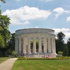
Harding Tomb
27.7 km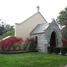
Marion Cemetery Receiving Vault
27.7 km
Formula F at the SCCA National Championship Runoffs
22.5 km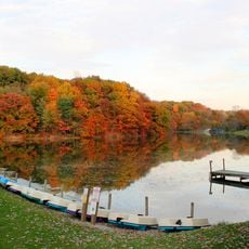
Mount Gilead State Park
2.6 km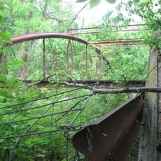
Caledonia Bowstring Bridge
18.8 km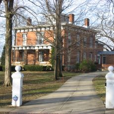
James S. Trimble House
3.8 km
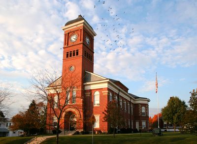
Morrow County Courthouse
3.1 km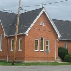
Brownella Cottage and Grace Episcopal Church and Rectory
22.6 km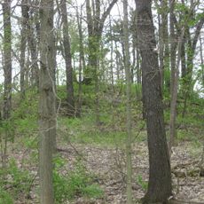
Raleigh Mound
22.6 km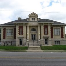
Marion Public Library (Marion, Ohio)
27.8 km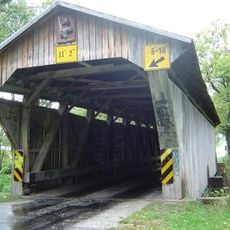
Chambers Road Covered Bridge
21.4 km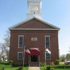
Chesterville Community Church
11.5 km
Chester Town Hall
11.4 km
First Congregational Church and Lexington School
24.4 km
Levering Hall
3.2 km
Perry Cook Memorial Public Library
15.4 km
Galion Theatre
22.7 km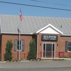
Selover Public Library
11.3 km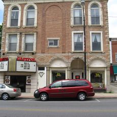
Capitol Theatre
3.3 km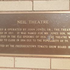
Neal Theatre
22.4 km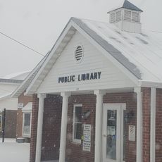
Cardington-lincoln Public Library
8.5 km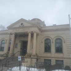
Galion Public Library Association
22.8 km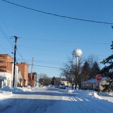
Caledonia Branch
18.5 km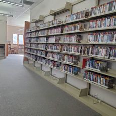
Mt Gilead Public Library
3.1 km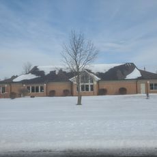
Fredericktown Branch
22.2 km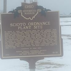
Scioto Ordnance Plant Site
26.1 km
Fredericktown Community Fire District
22.2 kmReviews
Visited this place? Tap the stars to rate it and share your experience / photos with the community! Try now! You can cancel it anytime.
Discover hidden gems everywhere you go!
From secret cafés to breathtaking viewpoints, skip the crowded tourist spots and find places that match your style. Our app makes it easy with voice search, smart filtering, route optimization, and insider tips from travelers worldwide. Download now for the complete mobile experience.

A unique approach to discovering new places❞
— Le Figaro
All the places worth exploring❞
— France Info
A tailor-made excursion in just a few clicks❞
— 20 Minutes