Morrow County

Log in to your account

AroundUs is a community-driven map of interesting places, built by curious explorers like you. It grows with every review, story, and photo you share.
Connect to save your favorite spots, contribute locations, and create personalized routes.
Continue with Google
Continue with Apple
Continue with X
Continue with Facebook
Continue with email
By continuing, you accept our Terms and Conditions and our Privacy Policy
Create an account
Add to collection
Map
Suggest a change
Share

Morrow County, Administrative division in Oregon, United States.

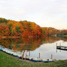
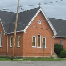
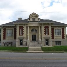
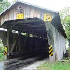
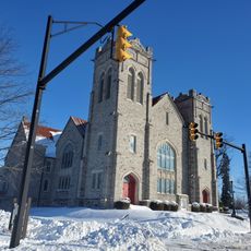
Morrow County is an administrative division in Ohio featuring open farmland, rolling terrain, and wide-open spaces across the region. The landscape is dominated by agricultural operations scattered throughout the county's boundaries.

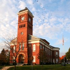
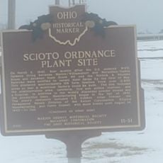
The county was established in 1886 as settlers developed the agricultural lands of the region. This founding shaped the administrative and community structures that continue to this day.

Agriculture shapes daily life here, with farming and ranching families forming the backbone of the community. Local gatherings celebrate these traditions and connect people through shared work and rural heritage.

The area is sparsely populated, so expect longer distances between towns and services. Plan ahead for travel and bring supplies when exploring the countryside.

Wind farms dot the landscape here, with turbines generating renewable energy across the open fields. This modern energy production sits alongside the traditional farming operations.

Location: Ohio

Inception: February 24, 1848

Capital city: Mount Gilead

Shares border with: Crawford County, Delaware County, Marion County, Richland County, Knox County

Website: http://morrowcountyohio.gov

GPS coordinates: 40.53000,-82.80000

Latest update: December 7, 2025 10:08

Photos
Around this place
Mid-Ohio Sports Car Course
United States of America

Mid-Ohio Sports Car Course

22.5 km
Harding Tomb
United States of America

Harding Tomb

27.7 km
Marion Cemetery Receiving Vault
United States of America

Marion Cemetery Receiving Vault

27.7 km
Formula F at the SCCA National Championship Runoffs
United States of America

Formula F at the SCCA National Championship Runoffs

22.5 km
Mount Gilead State Park
United States of America

Mount Gilead State Park

2.6 km
Caledonia Bowstring Bridge
United States of America

Caledonia Bowstring Bridge

18.8 km
James S. Trimble House
United States of America

James S. Trimble House

3.8 km
Morrow County Courthouse
United States of America

Morrow County Courthouse

3.1 km
Brownella Cottage and Grace Episcopal Church and Rectory
United States of America

Brownella Cottage and Grace Episcopal Church and Rectory

22.6 km
Raleigh Mound
United States of America

Raleigh Mound

22.6 km
Marion Public Library (Marion, Ohio)
United States of America

Marion Public Library (Marion, Ohio)

27.8 km
Chambers Road Covered Bridge
United States of America

Chambers Road Covered Bridge

21.4 km
Chesterville Community Church
United States of America

Chesterville Community Church

11.5 km
Chester Town Hall
United States of America

Chester Town Hall

11.4 km
First Congregational Church and Lexington School
United States of America

First Congregational Church and Lexington School

24.4 km
Levering Hall
United States of America

Levering Hall

3.2 km
Perry Cook Memorial Public Library
United States of America

Perry Cook Memorial Public Library

15.4 km
Galion Theatre
United States of America

Galion Theatre

22.7 km
Selover Public Library
United States of America

Selover Public Library

11.3 km
Capitol Theatre
United States of America

Capitol Theatre

3.3 km
Neal Theatre
United States of America

Neal Theatre

22.4 km
Cardington-lincoln Public Library
United States of America

Cardington-lincoln Public Library

8.5 km
Galion Public Library Association
United States of America

Galion Public Library Association

22.8 km
Caledonia Branch
United States of America

Caledonia Branch

18.5 km
Mt Gilead Public Library
United States of America

Mt Gilead Public Library

3.1 km
Fredericktown Branch
United States of America

Fredericktown Branch

22.2 km
Scioto Ordnance Plant Site
United States of America

Scioto Ordnance Plant Site

26.1 km
Fredericktown Community Fire District
United States of America

Fredericktown Community Fire District

22.2 km
Show the full map
Reviews

Visited this place? Tap the stars to rate it and share your experience / photos with the community! Try now! You can cancel it anytime.

« Morrow County - Administrative division in Oregon, United States » is provided by Around Us (aroundus.com). Images and texts are derived from Wikimedia project under a Creative Commons license. You are allowed to copy, distribute, and modify copies of this page, under the conditions set by the license, as long as this note is clearly visible.

Discover hidden gems everywhere you go!

From secret cafés to breathtaking viewpoints, skip the crowded tourist spots and find places that match your style. Our app makes it easy with voice search, smart filtering, route optimization, and insider tips from travelers worldwide. Download now for the complete mobile experience.

Around Us App Screenshot

A unique approach to discovering new places

Le Figaro

All the places worth exploring

France Info

A tailor-made excursion in just a few clicks

20 Minutes