Saint Thomas, Caribbean island in Charlotte Amalie, US
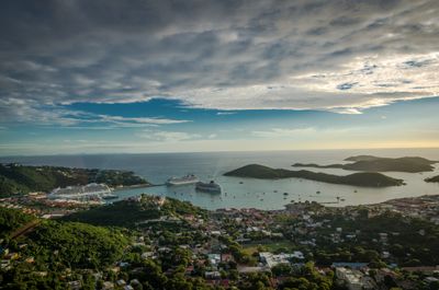
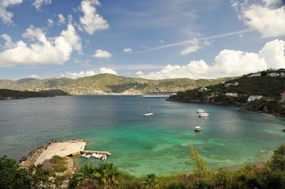
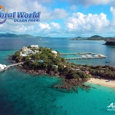
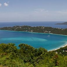
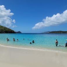
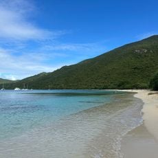
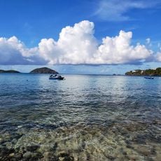
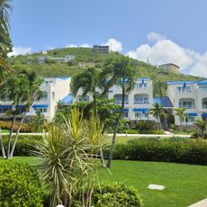
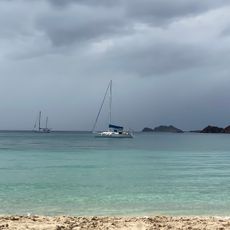
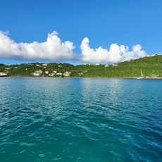
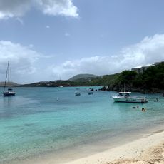
Saint Thomas is an island in Charlotte Amalie, part of the United States, covering 81 square kilometers with its highest point rising to 474 meters. The coastline consists of many coves with light sand and calm or moving water, depending on location and wind direction.
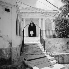
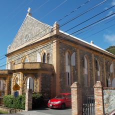
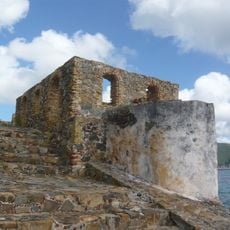
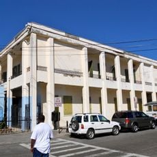
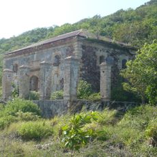
Denmark took possession of the island in the 17th century and held it under its control for more than two centuries. The United States purchased the territory during World War One for 25 million dollars to secure its presence in the Caribbean.
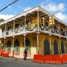
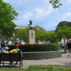
Residents speak English in daily life and maintain a relaxed Caribbean way of living that shows in music, food, and how people interact with one another. Drivers travel on the left side of the road, while most other habits feel more North American than European.
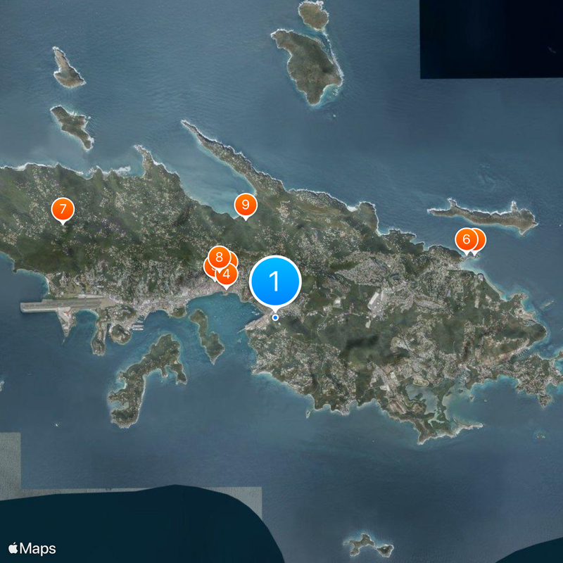
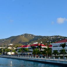
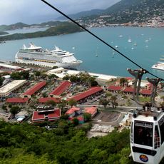
The port of Charlotte Amalie receives large cruise ships daily, while the airport offers direct connections to various cities in the United States. Visitors traveling with a rental car should remember that traffic moves on the left and roads in the hills can become narrow and winding.
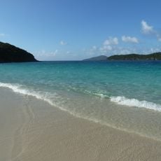
The coastline holds more than 40 beaches with light sand, each offering different conditions for swimmers and water sports enthusiasts. Some coves remain almost always calm, while others present stronger surf and currents.
The community of curious travelers
AroundUs brings together thousands of curated places, local tips, and hidden gems, enriched daily by 60,000 contributors worldwide.