Virgin Islands National Park, National Park on Saint John Island, United States Virgin Islands.
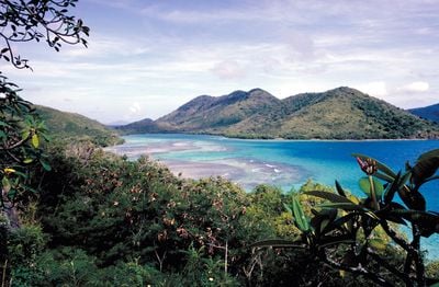
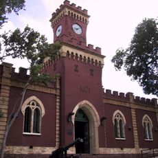
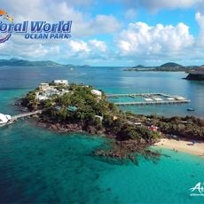
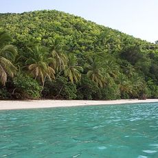
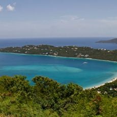
Virgin Islands National Park is a protected area on Saint John and part of Hassel Island in the United States Virgin Islands, covering tropical forests, sandy beaches, and coral reefs. It spans roughly 7,000 acres on land and another 5,650 acres underwater, preserving habitats for sea turtles, tropical fish, and mangrove forests.
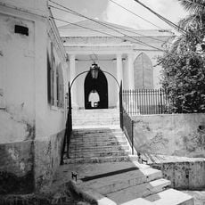
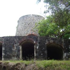
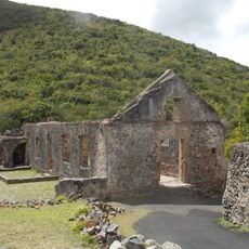
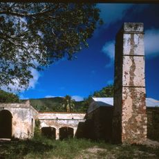
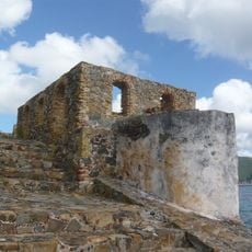
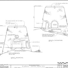
The area was established in 1956 after businessman Laurance Rockefeller purchased large portions of Saint John and donated the land to the federal government. This decision preserved the landscape from further development and protected the remains of 18th-century sugar cane plantations.
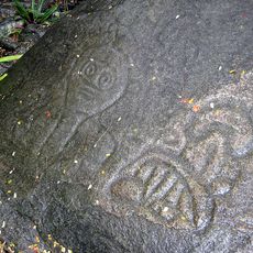
The name Reef Bay refers to the cove on the southwestern edge of the island, where visitors can spot rock carvings made by the Taíno people. These images show faces and geometric patterns carved directly into the stone and remain visible today.
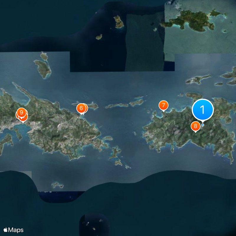
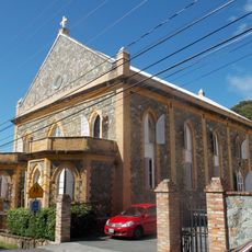
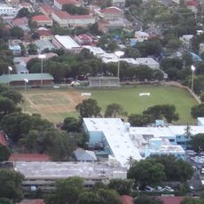
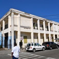
Visitors reach the protected area by passenger ferries from Red Hook or Charlotte Amalie on Saint Thomas to Cruz Bay. Most beaches and trails are accessible without an entrance fee, while some areas can only be reached on foot or by boat.
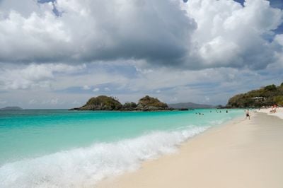
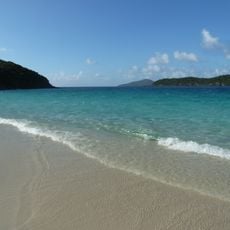
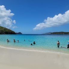
At Trunk Bay, snorkelers can follow an underwater path with signs that explain coral species and marine life. The path runs parallel to the beach at a depth of roughly 10 to 13 feet (3 to 4 meters) and makes the reef accessible even for beginners.
The community of curious travelers
AroundUs brings together thousands of curated places, local tips, and hidden gems, enriched daily by 60,000 contributors worldwide.