Mason County, Administrative division in northern Kentucky, United States
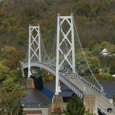
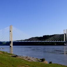
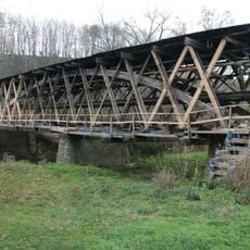
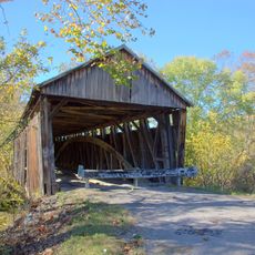
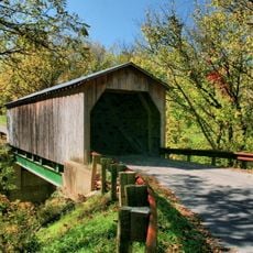
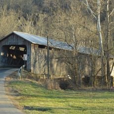
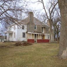
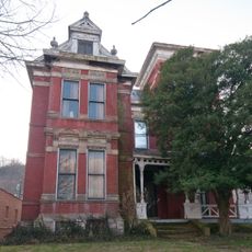
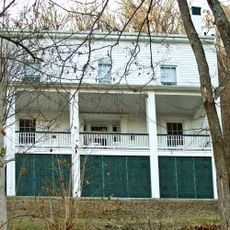
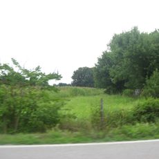
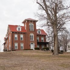
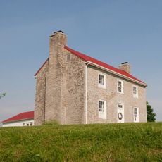
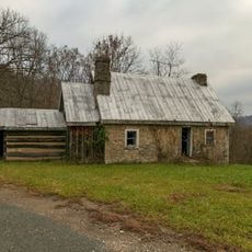
Mason County stretches along the Ohio River with rolling hills, farmland, and residential areas spread across its landscape. The terrain features open fields, small communities, and a mix of rural and developed neighborhoods.
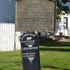
The county was established on November 5, 1788, when Kentucky was still a territory before statehood. This early founding made it one of the older administrative divisions in the region.
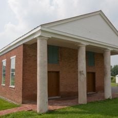
The communities here maintain connections to farming traditions through regular fairs and local celebrations that happen throughout the year. These events reflect how agriculture and rural life remain woven into the identity of the region.
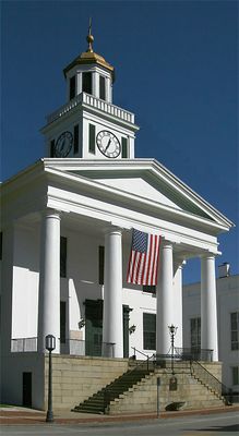
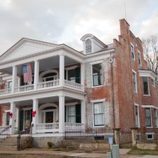
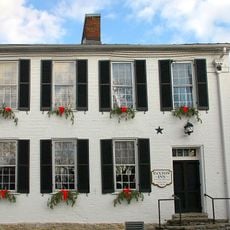
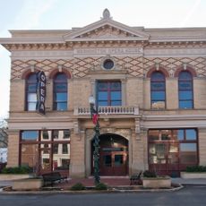
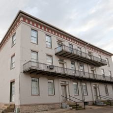
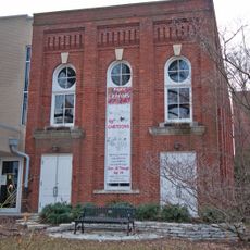
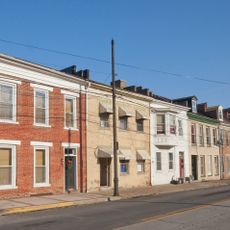
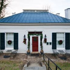
Maysville, the county seat, serves as the hub for government services, medical care, and schools across the area. When exploring, visitors should use Maysville as a starting point to understand where main services and resources are located.
The county forms part of the Maysville micropolitan area, which links multiple communities through economic and administrative networks. This connection keeps the region economically integrated despite its rural character.
Location: Kentucky
Inception: November 5, 1788
Capital city: Maysville
Part of: Maysville micropolitan area
Shares border with: Adams County, Lewis County, Fleming County, Robertson County, Bracken County, Brown County
Website: http://masoncountykentucky.com
GPS coordinates: 38.60000,-83.83000
Latest update: December 7, 2025 19:27
John Brett Richeson House
7.3 km
John Rankin House
16.9 km
Simon Kenton Memorial Bridge
8.3 km
Phillips' Folly
7.6 km
William H. Harsha Bridge
10.3 km
John P. Parker House
16.8 km
Russell Theatre
7.7 km
Johnson Creek Covered Bridge
18.4 km
Washington Historic District
2.5 km
Washington Opera House
7.7 km
Cabin Creek Covered Bridge
18.2 km
Lee's Creek Covered Bridge
17.2 km
Lee House
7.8 km
North Pole Road Covered Bridge
17.4 km
Bracken Baptist Church
14.1 km
Newdigate-Reed House
6.8 km
Cox-Hord House
7.8 km
Pogue House
8.1 km
Aberdeen Mound
9.5 km
Point Au View
7.1 km
Old Library Building
7.6 km
Armstrong Row
7.7 km
Poague House
8.6 km
May's Lick Negro School
9.2 km
Henry Perviance Peers House
7.5 km
Ben Moran House
8.1 km
Limestone Historical Marker
7.6 km
Ripley
16.8 kmVisited this place? Tap the stars to rate it and share your experience / photos with the community! Try now! You can cancel it anytime.
Discover hidden gems everywhere you go!
From secret cafés to breathtaking viewpoints, skip the crowded tourist spots and find places that match your style. Our app makes it easy with voice search, smart filtering, route optimization, and insider tips from travelers worldwide. Download now for the complete mobile experience.
A unique approach to discovering new places❞
— Le Figaro
All the places worth exploring❞
— France Info
A tailor-made excursion in just a few clicks❞
— 20 Minutes