Morrison County, Administrative county in central Minnesota, United States.
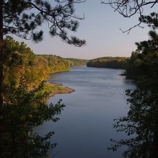
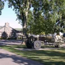
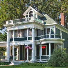
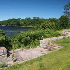
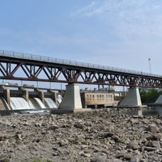
Morrison County is an administrative division in central Minnesota that covers diverse landscapes including forests, farmland, and scattered lakes across its territory. The county is governed from Little Falls, where the main administration building provides local government services to residents.
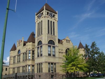
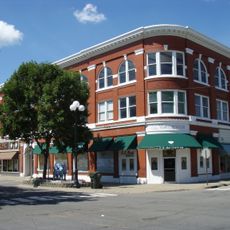
The county was established in 1856 with Little Falls designated as its administrative seat from the beginning. This choice shaped how the region developed and organized itself over the following decades.
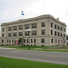
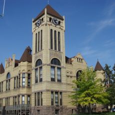
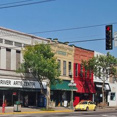
Little Falls serves as the administrative heart where residents gather to handle official matters and connect with local government services. The county center reflects how the community organizes itself around this central hub of civic life.
The main administration building is located at 213 1st Avenue SE in Little Falls and serves as the central point for county services. Visitors should check ahead for office hours, as different departments may have varying availability.
The county jail has capacity beyond what it needs for its own population and rents extra beds to neighboring counties facing overcrowding. This arrangement shows how local jurisdictions share resources and help each other manage practical challenges.
Location: Minnesota
Inception: February 25, 1856
Capital city: Little Falls
Shares border with: Cass County, Benton County, Crow Wing County, Mille Lacs County, Stearns County, Todd County
Website: http://co.morrison.mn.us
GPS coordinates: 45.96667,-94.36667
Latest update: December 7, 2025 20:24
Charles A. Lindbergh State Park
2.4 km
Fort Ripley
23.3 km
Crow Wing State Park
34.1 km
Minnesota Military Museum
12.8 km
Brainerd Water Tower
45.5 km
Crow Wing County Courthouse and Jail
45 km
Church of Our Savior-Episcopal
1.3 km
Camp Ripley Bridge
12.2 km
Charles A. Weyerhaeuser and Musser Houses
468 m
Nature Road Bridge
15.7 km
St. Joseph's Church-Catholic
20.4 km
Almond A. White House
46.3 km
Burton-Rosenmeier House
491 m
Kenney Lake Overlook
56.9 km
Parker Building
45.2 km
Minnesota Highway 371 Bridge
39.3 km
Soo Line Rail Bridge at Blanchard Dam
11.8 km
Morrison County Courthouse
1.1 km
Pine Tree Lumber Company Office Building
2 km
Washington Street Bridge
45.2 km
Little Falls Carnegie Library
1.2 km
Little Falls Commercial Historic District
1.1 km
St. Alban's Bay Culvert
54.2 km
Bridge No. 3355-Kathio Township
52.2 km
Charles A. Lindbergh State Park WPA/Rustic Style Historic Resources
2.1 km
Charles Lindbergh House and Museum
1.7 km
Minnesota Fishing Museum
1.3 km
Northern Pacific Railroad Shops Historic District
45.8 kmVisited this place? Tap the stars to rate it and share your experience / photos with the community! Try now! You can cancel it anytime.
Discover hidden gems everywhere you go!
From secret cafés to breathtaking viewpoints, skip the crowded tourist spots and find places that match your style. Our app makes it easy with voice search, smart filtering, route optimization, and insider tips from travelers worldwide. Download now for the complete mobile experience.
A unique approach to discovering new places❞
— Le Figaro
All the places worth exploring❞
— France Info
A tailor-made excursion in just a few clicks❞
— 20 Minutes