Enable Location

We need your location to show you interesting places around you

Discover nearby places

Find interesting locations and hidden gems around you

Precise directions

Get accurate directions and distances to places

Your location is never shared with other users. It's only used when you tap the location button.

Alexander County

Log in to your account

Start exploring — it's free

Trusted by 62,036 travelers worldwide

Continue with Google
Continue with Apple
or

We will send you a code to connect

By continuing, you accept our Terms and Conditions and our Privacy Policy

Check your inbox

We've sent a pincode in your inbox. Please enter the code below.

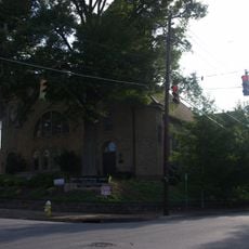
Alexander County, Administrative county in western North Carolina, US

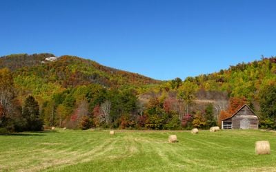
Alexander County is an administrative county in western North Carolina with a landscape shaped by the Brushy Mountains to the north and rolling terrain throughout. The terrain consists mostly of forested hills and valleys, with Hickory Knob reaching approximately 2,560 feet above sea level.

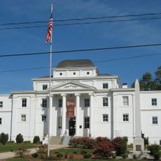
The county was established in 1847 by the North Carolina General Assembly through two legislative acts, named in honor of William Julius Alexander, a Speaker of the House. This creation followed increasing European settlement in the region during the preceding decades.

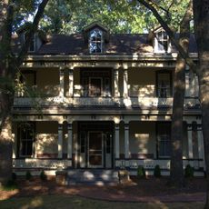
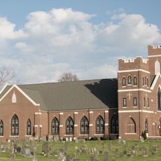
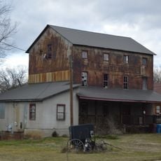
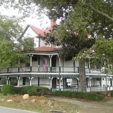
Scots-Irish and German settlers shaped the region's character, and their heritage remains visible in farming practices and community traditions today. Visitors notice this influence in how local life is organized and how people maintain connections to the land.

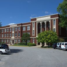
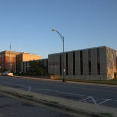
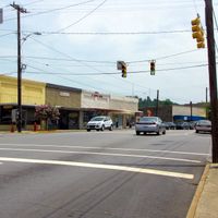
The area is accessible through local roads connecting small towns throughout the region, with services distributed across multiple communities. Visitors should plan ahead since amenities are spread out and a vehicle is necessary to explore effectively.

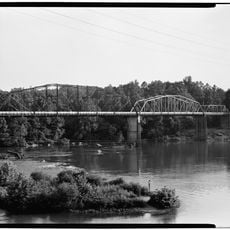
The Catawba River marks the southern edge, creating a natural boundary for the region. A local rail line has operated from Taylorsville since 1946, serving as an important connector for nearby communities.

The community of curious travelers

AroundUs brings together thousands of curated places, local tips, and hidden gems, enriched daily by 60,000 contributors worldwide.

Start exploring
Location
Inception
1847
Capital city
Taylorsville
Shares border with
Wilkes County, Iredell County, Catawba County, Caldwell County
GPS coordinates
35.92000,-81.18000
Latest update
December 7, 2025 19:24
Around this place
United States of America

Hiddenite Gem Mines

8.8 km
Bunker Hill Covered Bridge
United States of America

Bunker Hill Covered Bridge

22.9 km
Moravian Falls
United States of America

Moravian Falls

18.5 km
Hightower Hall
United States of America

Hightower Hall

4.3 km
Claremont High School Historic District
United States of America

Claremont High School Historic District

25.3 km
Wilkes County Courthouse
United States of America

Wilkes County Courthouse

25.6 km
Shuford House
United States of America

Shuford House

24.3 km
St. John's Lutheran Church
United States of America

St. John's Lutheran Church

21 km
First Presbyterian Church
United States of America

First Presbyterian Church

25.1 km
Oakwood Historic District
United States of America

Oakwood Historic District

25.2 km
Hickory Municipal Building
United States of America

Hickory Municipal Building

25.5 km
Kenworth Historic District
United States of America

Kenworth Historic District

25.3 km
Houck's Chapel
United States of America

Houck's Chapel

25.9 km
Damascus Baptist Church Arbor
United States of America

Damascus Baptist Church Arbor

18.2 km
Elliott–Carnegie Library
United States of America

Elliott–Carnegie Library

25.6 km
Wilkesboro Presbyterian Church
United States of America

Wilkesboro Presbyterian Church

25.6 km
Dr. Glenn R. Frye House
United States of America

Dr. Glenn R. Frye House

24.6 km
Johnson-Hubbard House
United States of America

Johnson-Hubbard House

25.6 km
Clement Geitner House
United States of America

Clement Geitner House

25.7 km
Snow Creek Methodist Church and Burying Ground
United States of America

Snow Creek Methodist Church and Burying Ground

23.5 km
Lee & Helen George House
United States of America

Lee & Helen George House

24.1 km
Hickory Southwest Downtown Historic District
United States of America

Hickory Southwest Downtown Historic District

25.6 km
Downtown Wilkesboro Historic District
United States of America

Downtown Wilkesboro Historic District

25.6 km
John Alfred Moretz House
United States of America

John Alfred Moretz House

23.9 km
Taylorsville Milling Company Roller Mill
United States of America

Taylorsville Milling Company Roller Mill

799 m
Gigi's Parlor
United States of America

Gigi's Parlor

26 km
Lucas Mansion
United States of America

Lucas Mansion

8.1 km
North Carolina Route 1006 Bridge
United States of America

North Carolina Route 1006 Bridge

20.1 km
Show the full map
Administrative divisions
« Alexander County - Administrative county in western North Carolina, US » is provided by Around Us (aroundus.com). Images and texts are derived from Wikimedia project under a Creative Commons license. You are allowed to copy, distribute, and modify copies of this page, under the conditions set by the license, as long as this note is clearly visible.

Discover hidden gems everywhere you go!

From secret cafés to breathtaking viewpoints, skip the crowded tourist spots and find places that match your style. Our app makes it easy with voice search, smart filtering, route optimization, and insider tips from travelers worldwide. Download now for the complete mobile experience.

Around Us App Screenshot

A unique approach to discovering new places

Le Figaro

All the places worth exploring

France Info

A tailor-made excursion in just a few clicks

20 Minutes

Around Us
Travel Guide & Maps
Download

Send to your phone

QR Code
1

Open the camera app on your mobile.

2

Point at the QR code with your camera. A notification will appear.

3

Tap the notification to open the link.