Enable Location

We need your location to show you interesting places around you

Discover nearby places

Find interesting locations and hidden gems around you

Precise directions

Get accurate directions and distances to places

Your location is never shared with other users. It's only used when you tap the location button.

Wetzel County

Log in to your account

Start exploring — it's free

Trusted by 62,505 travelers worldwide

Continue with Google
Continue with Apple
or

We will send you a code to connect

By continuing, you accept our Terms and Conditions and our Privacy Policy

Check your inbox

We've sent a pincode in your inbox. Please enter the code below.

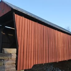
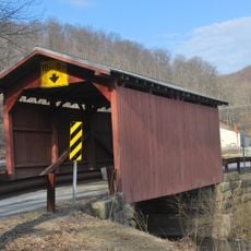
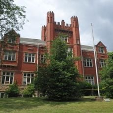
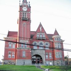
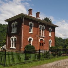
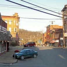
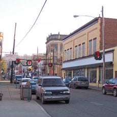
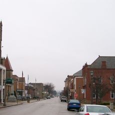
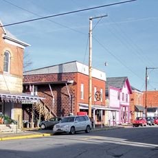
Wetzel County, County in northern West Virginia, United States

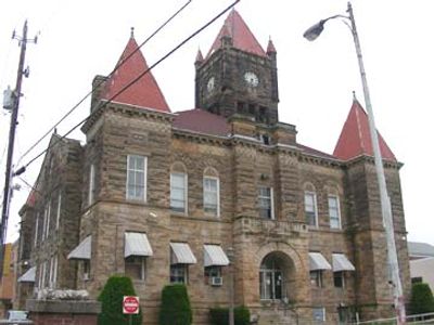
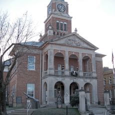
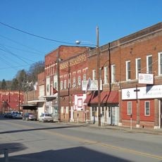
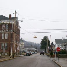
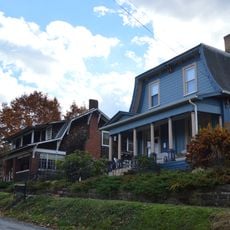
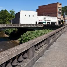
Wetzel County is an administrative division in northern West Virginia, with New Martinsville serving as its county seat. The region encompasses several communities connected by local government services and institutional networks.

The county was established in 1846 from what was then Virginia territory and became part of West Virginia when the state separated in 1863. Its boundaries reflect divisions made during the era before the Civil War.

The region maintains seven distinct magisterial districts that shape local governance and community organization within the northern part of West Virginia.

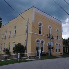
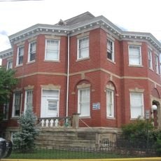
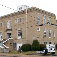
Visitors can access local government services and administrative matters through New Martinsville, where the main offices are located. The best time to visit is during regular business hours when services are available.

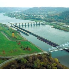
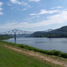
The northern border follows the Mason-Dixon line, a colonial-era boundary that historically divided the northern and southern regions. This geographical feature connects the area to a significant dividing line in American history.

The community of curious travelers

AroundUs brings together thousands of curated places, local tips, and hidden gems, enriched daily by 60,000 contributors worldwide.

Start exploring
Location
Inception
January 10, 1846
Capital city
New Martinsville
Shares border with
Greene County, Doddridge County, Monongalia County, Marion County, Harrison County, Tyler County, Monroe County, Marshall County
GPS coordinates
39.61000,-80.64000
Latest update
December 7, 2025 20:20
Around this place
Hannibal Locks and Dam
United States of America

Hannibal Locks and Dam

20.4 km
New Martinsville Bridge
United States of America

New Martinsville Bridge

19.9 km
Frederick Kindleberger Stone House and Barn
United States of America

Frederick Kindleberger Stone House and Barn

33.5 km
Center Point Covered Bridge
United States of America

Center Point Covered Bridge

24.6 km
Fish Creek Covered Bridge
United States of America

Fish Creek Covered Bridge

17.5 km
Cameron Downtown
United States of America

Cameron Downtown

24.9 km
Salem College Administration Building
United States of America

Salem College Administration Building

36.9 km
Doddridge County Courthouse
United States of America

Doddridge County Courthouse

37 km
Lathrop Russell Charter House
United States of America

Lathrop Russell Charter House

37 km
E. A. Durham House
United States of America

E. A. Durham House

31.6 km
Silas P. Smith Opera House
United States of America

Silas P. Smith Opera House

37.1 km
Wilson School
United States of America

Wilson School

27.8 km
Hamilton Round Barn
United States of America

Hamilton Round Barn

28.2 km
Tyler County Courthouse and Jail
United States of America

Tyler County Courthouse and Jail

26.2 km
Salem Church
United States of America

Salem Church

27.3 km
W. Scott Stuart House
United States of America

W. Scott Stuart House

37 km
Wells-Schaff House
United States of America

Wells-Schaff House

31.9 km
Salem Historic District
United States of America

Salem Historic District

37.1 km
North Street Historic District
United States of America

North Street Historic District

19.4 km
West Union Residential Historic District
United States of America

West Union Residential Historic District

37.2 km
Mannington Historic District
United States of America

Mannington Historic District

26.9 km
West Union Downtown Historic District
United States of America

West Union Downtown Historic District

37 km
Sistersville Historic District
United States of America

Sistersville Historic District

30.9 km
New Martinsville Downtown Historic District
United States of America

New Martinsville Downtown Historic District

18.7 km
Sistersville City Hall
United States of America

Sistersville City Hall

31 km
William Wells House
United States of America

William Wells House

25.1 km
Middlebourne Historic District
United States of America

Middlebourne Historic District

26.6 km
War Memorial Building
United States of America

War Memorial Building

19.6 km
Show the full map
« Wetzel County - County in northern West Virginia, United States » is provided by Around Us (aroundus.com). Images and texts are derived from Wikimedia project under a Creative Commons license. You are allowed to copy, distribute, and modify copies of this page, under the conditions set by the license, as long as this note is clearly visible.

Discover hidden gems everywhere you go!

From secret cafés to breathtaking viewpoints, skip the crowded tourist spots and find places that match your style. Our app makes it easy with voice search, smart filtering, route optimization, and insider tips from travelers worldwide. Download now for the complete mobile experience.

Around Us App Screenshot

A unique approach to discovering new places

Le Figaro

All the places worth exploring

France Info

A tailor-made excursion in just a few clicks

20 Minutes

Around Us
Travel Guide & Maps
Download

Send to your phone

QR Code
1

Open the camera app on your mobile.

2

Point at the QR code with your camera. A notification will appear.

3

Tap the notification to open the link.