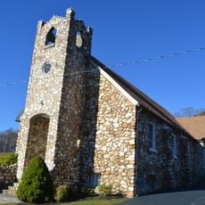
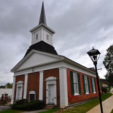
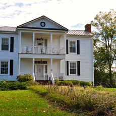
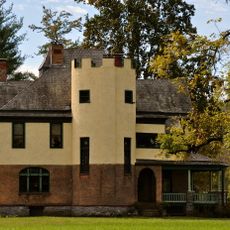
Floyd County, County administrative division in Blue Ridge Mountains, Virginia, United States.
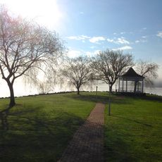
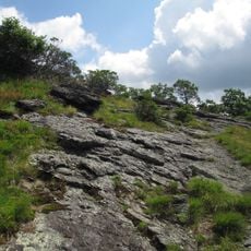
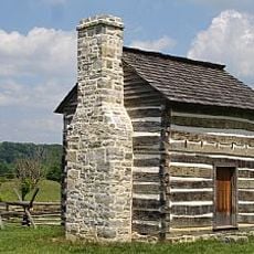
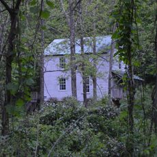
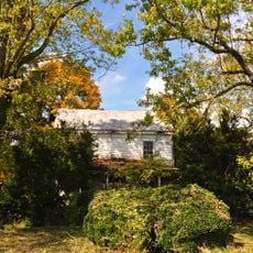
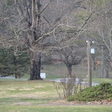
Floyd County is an administrative division in the Blue Ridge Mountains of Virginia characterized by dense forests, open meadows, and river valleys that weave through the landscape. The terrain varies from steep ridge lines to gentle valley floors, with the Blue Ridge Parkway running through the region.
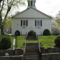
The county was established in 1831 when the Virginia General Assembly carved it from portions of Montgomery and Franklin counties in the mountain region. Its name honors Governor John Floyd and reflects the state's expansion of administrative divisions during that era.
The area holds a strong tradition of bluegrass and folk music that residents share during regular community gatherings and local celebrations. This musical heritage shapes how people connect with each other and defines much of the local character.
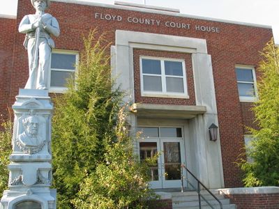
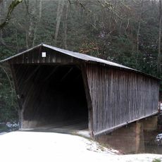
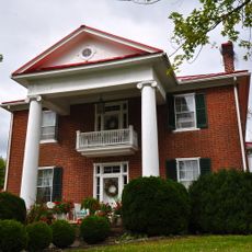
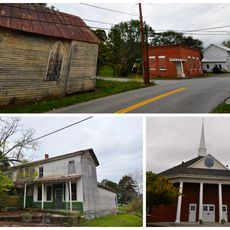
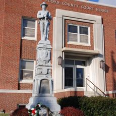
The town of Floyd serves as the administrative center where government offices are located for official matters and inquiries. For outdoor exploration, visitors should plan for mountain terrain that is accessible year-round but most comfortable during spring through fall.
The Blue Ridge Parkway cuts through the county, providing one of the most scenic driving routes in the eastern United States and connecting two major national parks. This road draws visitors from far away who come specifically to drive its length and experience the views from their vehicles.
The community of curious travelers
AroundUs brings together thousands of curated places, local tips, and hidden gems, enriched daily by 60,000 contributors worldwide.