
Lauderdale County, County division in western Tennessee, United States
Lauderdale County encompasses 508 square miles along the Mississippi River, featuring agricultural lands and three major waterways: Mississippi, Forked Deer, and Hatchie Rivers.
The Tennessee General Assembly established the county in 1835 from parts of Tipton, Dyer, and Haywood Counties, naming it after Lieutenant Colonel James Lauderdale.
The Veterans Museum in Halls documents military history from World War I onward, including extensive materials from the Dyersburg Army Air Base.
The county seat of Ripley provides administrative services and educational facilities through the Lauderdale County School District for the region's 25,143 residents.
Some territories of the county, including Forked Deer Island, now stand on the western side of the Mississippi River due to geographical changes.
Location: Tennessee
Inception: 1835
Capital city: Ripley
Shares border with: Dyer County, Tipton County, Crockett County, Haywood County, Mississippi County
Website: https://lauderdalecountytn.org
GPS coordinates: 35.76000,-89.63000
Latest update: March 6, 2025 09:57
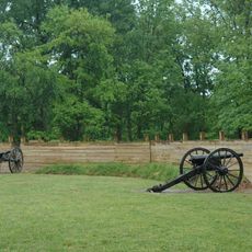
Fort Pillow State Park
23.6 km
Nodena Site
37 km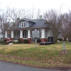
Alex Haley House and Museum
10.8 km
Eaker Site
35.6 km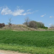
Campbell Archeological Site
35.1 km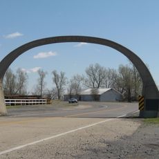
United States Highway 61 Arch
36 km
Temple Adas Israel
37.9 km
Mississippi County Courthouse
31.3 km
Edward Moody King House
37.4 km
Mississippi County Courthouse
31.1 km
Zion Church
38 km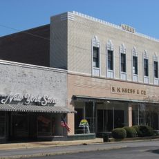
Kress Building
30.2 km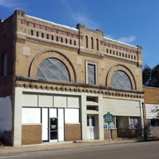
Bank of Osceola
31.1 km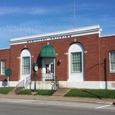
City Hall
31.4 km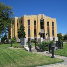
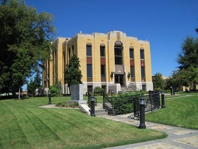
Lauderdale County Courthouse
9.1 km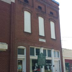
Osceola Times Building
31.2 km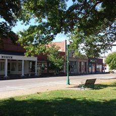
Hale Avenue Historic District
31.3 km
Joshua K. Hutchison House
38.2 km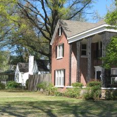
West Main Street Residential Historic District
31.6 km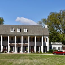
Wilson Residential Historic District
41.4 km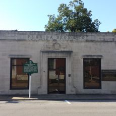
Florida Brothers Building
31.5 km
Stanton Masonic Lodge and School
38.6 km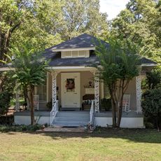
Chris Tompkins House
28.6 km
Brownsville Carnegie Library
37.9 km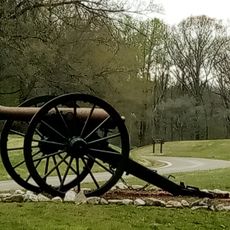
Fort Pillow State Historic Park
24.5 km
Stanton School
38.9 km
Trinity United Methodist Church
21.5 km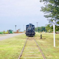
Jonesboro, Lake City & Eastern Railroad Steam Locomotive #34 and Associated Rolling Stock
38.5 kmReviews
Visited this place? Tap the stars to rate it and share your experience / photos with the community! Try now! You can cancel it anytime.
Discover hidden gems everywhere you go!
From secret cafés to breathtaking viewpoints, skip the crowded tourist spots and find places that match your style. Our app makes it easy with voice search, smart filtering, route optimization, and insider tips from travelers worldwide. Download now for the complete mobile experience.

A unique approach to discovering new places❞
— Le Figaro
All the places worth exploring❞
— France Info
A tailor-made excursion in just a few clicks❞
— 20 Minutes