Enable Location

We need your location to show you interesting places around you

Discover nearby places

Find interesting locations and hidden gems around you

Precise directions

Get accurate directions and distances to places

Your location is never shared with other users. It's only used when you tap the location button.

Humphreys County

Log in to your account

Start exploring — it's free

Trusted by 62,577 travelers worldwide

Continue with Google
Continue with Apple
or

We will send you a code to connect

By continuing, you accept our Terms and Conditions and our Privacy Policy

Check your inbox

We've sent a pincode in your inbox. Please enter the code below.

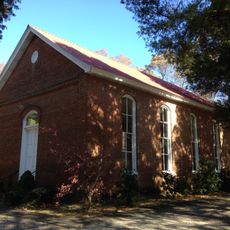
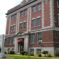
Humphreys County, County in Tennessee, United States

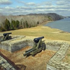
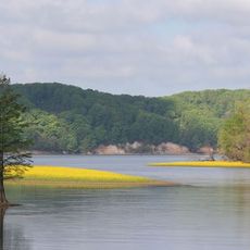
Humphreys County is an administrative division in central Tennessee with rivers flowing through its landscape. The Tennessee River, Duck River, and Buffalo River shape the terrain and define the boundaries of the region.

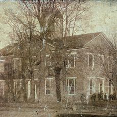
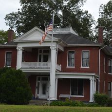
The county was formed as Benton County was established in 1835, prompting administrative reorganization. The county seat eventually relocated to Waverly, where it has remained since then.

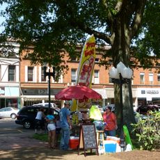
The Irish Picnic celebration has brought the community together since 1854 and remains a centerpiece of local life. Families and neighbors still gather for this yearly tradition, keeping old customs alive through food, music, and togetherness.

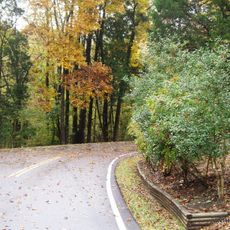
The county is accessible by road, with highways connecting its communities. Most local attractions and services are easy to reach, and parking is generally straightforward in the towns and recreational areas.

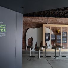
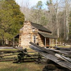
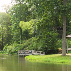
Loretta Lynn's property included a mill that displayed exhibits about country music heritage. This site offered visitors a window into the region's connection to music and rural storytelling.

The community of curious travelers

AroundUs brings together thousands of curated places, local tips, and hidden gems, enriched daily by 60,000 contributors worldwide.

Start exploring
Location
Inception
1809
Capital city
Waverly
Shares border with
Houston County, Dickson County, Hickman County, Perry County, Benton County
GPS coordinates
36.03000,-87.77000
Latest update
December 7, 2025 19:25
Around this place
Fort Donelson
United States of America

Fort Donelson

52.2 km
Eiffel Tower
United States of America

Eiffel Tower

55.6 km
Montgomery Bell State Park
United States of America

Montgomery Bell State Park

45.2 km
The Elephant Sanctuary
United States of America

The Elephant Sanctuary

51.3 km
Natchez Trace State Park
United States of America

Natchez Trace State Park

52.1 km
Mousetail Landing State Park
United States of America

Mousetail Landing State Park

47.3 km
Tennessee National Wildlife Refuge
United States of America

Tennessee National Wildlife Refuge

18.5 km
Mt. Zion Church and Cemetery
United States of America

Mt. Zion Church and Cemetery

45.2 km
William Thompson House
United States of America

William Thompson House

29.2 km
Henry County Courthouse
United States of America

Henry County Courthouse

58.4 km
Bethany Hills Camp
United States of America

Bethany Hills Camp

54.8 km
Hufstedler Gravehouse
United States of America

Hufstedler Gravehouse

51.9 km
Lewis County Courthouse
United States of America

Lewis County Courthouse

56.8 km
Quarry Limekiln
United States of America

Quarry Limekiln

32.4 km
V.R. Harris House
United States of America

V.R. Harris House

32.5 km
Dickson County War Memorial Building
United States of America

Dickson County War Memorial Building

34.5 km
Porter House
United States of America

Porter House

58 km
Long Rock Methodist Episcopal Church, South
United States of America

Long Rock Methodist Episcopal Church, South

56.8 km
Perry County Courthouse
United States of America

Perry County Courthouse

46.4 km
Paris Commercial Historic District
United States of America

Paris Commercial Historic District

58.5 km
Triangle School
United States of America

Triangle School

56.8 km
United States of America

James Dickson House

41.7 km
James Buchanan Walker House
United States of America

James Buchanan Walker House

38.9 km
Eva Site
United States of America

Eva Site

19.8 km
Nathan Bedford Forrest State Park
United States of America

Nathan Bedford Forrest State Park

19.5 km
Tennessee River Freshwater Pearl Museum and Cabin Rentals
United States of America

Tennessee River Freshwater Pearl Museum and Cabin Rentals

26 km
John Gordon House
United States of America

John Gordon House

57.5 km
Tennessee City
United States of America

Tennessee City

24.1 km
Show the full map
Administrative divisions
« Humphreys County - County in Tennessee, United States » is provided by Around Us (aroundus.com). Images and texts are derived from Wikimedia project under a Creative Commons license. You are allowed to copy, distribute, and modify copies of this page, under the conditions set by the license, as long as this note is clearly visible.

Discover hidden gems everywhere you go!

From secret cafés to breathtaking viewpoints, skip the crowded tourist spots and find places that match your style. Our app makes it easy with voice search, smart filtering, route optimization, and insider tips from travelers worldwide. Download now for the complete mobile experience.

Around Us App Screenshot

A unique approach to discovering new places

Le Figaro

All the places worth exploring

France Info

A tailor-made excursion in just a few clicks

20 Minutes

Around Us
Travel Guide & Maps
Download

Send to your phone

QR Code
1

Open the camera app on your mobile.

2

Point at the QR code with your camera. A notification will appear.

3

Tap the notification to open the link.