Chest opened
+${chestReward.xp} XP
Explorer
NOUVEAU ×${chestReward.collectible.quantity}
tapez pour fermer

See the monuments around you in AR Open chests in the app

Around Us is built for your phone — point your camera at the streets and discover the monuments and places around you in augmented reality. Around Us is built for your phone — chests unlock when you walk, explore and capture nearby places.

Enable Location

We need your location to show you interesting places around you

Discover nearby places

Find interesting locations and hidden gems around you

Precise directions

Get accurate directions and distances to places

Your location is never shared with other users. It's only used when you tap the location button.

Hawkins County

Log in to your account

Start exploring — it's free

Trusted by 86,368 travelers worldwide

Continue with Google
Continue with Apple
or

We will send you a code to connect

By continuing, you accept our Terms and Conditions and our Privacy Policy

Check your inbox

We've sent a pincode in your inbox. Please enter the code below.

Discussion Reviews 1 Photos
26.2k Popularity

Hawkins County, Administrative division in northeastern Tennessee, United States

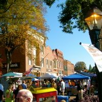
Hawkins County is an administrative area in northeastern Tennessee with rolling mountains and river valleys throughout its landscape. The region straddles the Tennessee-Virginia border and benefits from major routes running north and south through its communities.

The county was formed in 1786 and named after Benjamin Hawkins, an early US Senator from North Carolina. This timing placed it among the first territorial divisions in the newly settled western frontier of that era.

The region is rooted in Appalachian traditions, and you'll see folk music and craftsmanship woven into everyday life throughout communities here. Local gatherings and seasonal celebrations keep these customs alive for residents and visitors alike.

Rogersville serves as the county seat and main hub for government services and daily needs. The two-lane US Routes 11W and 11E run through the region and make navigation straightforward for visitors exploring different areas.

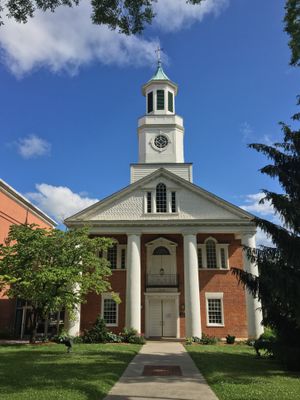
The courthouse built in 1836 remains the oldest active court building in the entire state. Its survival through nearly two centuries reflects the solid construction methods of that era and the building's role in shaping community law and order.

The community of curious travelers

AroundUs brings together thousands of curated places, local tips, and hidden gems, enriched daily by 60,000 contributors worldwide.
Start exploring
Location
Inception
November 18, 1786
Capital city
Rogersville
Shares border with
Sullivan County, Greene County, Hamblen County, Grainger County, Hancock County, Scott County, Washington County
GPS coordinates
36.41802,-82.94453
Latest update
September 12, 2026 03:54
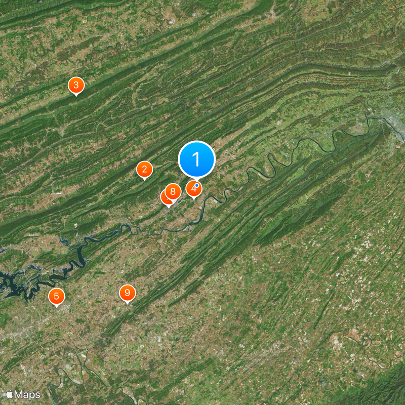
Around this place
United States of America

Pressmen's Home

6.5 mi
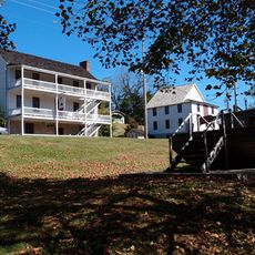
Vardy Community School
United States of America

Vardy Community School

17.8 mi
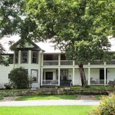
Amis House
United States of America

Amis House

0.6 mi
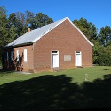
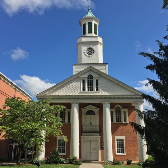
Bethesda Presbyterian Church
United States of America

Bethesda Presbyterian Church

19.7 mi
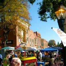
Rogersville Historic District
United States of America

Rogersville Historic District

3.5 mi
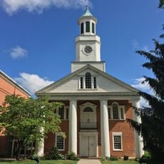
Hawkins County Courthouse
United States of America

Hawkins County Courthouse

3.5 mi
United States of America

Overton Lodge

3 mi
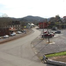
Bulls Gap Historic District
United States of America

Bulls Gap Historic District

13.9 mi
Price Public Elementary School
United States of America

Price Public Elementary School

3.6 mi
St. Marks Presbyterian Church
United States of America

St. Marks Presbyterian Church

3.6 mi
New Providence Presbyterian Church, Academy, and Cemetery
United States of America

New Providence Presbyterian Church, Academy, and Cemetery

8.6 mi
Stony Point
United States of America

Stony Point

8.4 mi
Long Meadow
United States of America

Long Meadow

7.6 mi
Boatyard Historic District
United States of America

Boatyard Historic District

21 mi
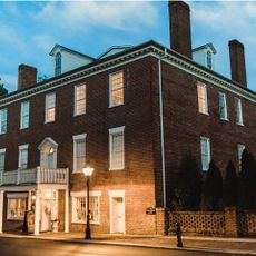
Hale Springs Inn
United States of America

Hale Springs Inn

3.6 mi
United States of America

White Cliff

14.9 mi
United States of America

Miller Bluff

8.7 mi
United States of America

Laurel Run Cliffs

15.9 mi
United States of America

The Rounds

10.6 mi
United States of America

The Cliffs

15.1 mi
United States of America

Taylor Bluff

9.3 mi
United States of America

Vardy School Community Historic District

17.2 mi
United States of America

John Sevier Detention Reservoir

2.8 mi
United States of America

McDonald Hills

3 mi
United States of America

Clinchview Golf and Country Club

19.1 mi
United States of America

Graysburg Hills Golf Course

15.1 mi
United States of America

Ridgefields Golf & Athletic Club

20.8 mi
United States of America

Scenic viewpoint

19.7 mi
Show the full map
Reviews
Share your experience

No review yet

Discussions
Start a discussion...

No discussion yet

Administrative divisions
« Hawkins County - Administrative division in northeastern Tennessee, United States » is provided by Around Us (aroundus.com). Images and texts are derived from Wikimedia project under a Creative Commons license. You are allowed to copy, distribute, and modify copies of this page, under the conditions set by the license, as long as this note is clearly visible.

Discover hidden gems everywhere you go!

From secret cafés to breathtaking viewpoints, skip the crowded tourist spots and find places that match your style. Our app makes it easy with voice search, smart filtering, route optimization, and insider tips from travelers worldwide. Download now for the complete mobile experience.

Around Us App Screenshot

A unique approach to discovering new places

Le Figaro

All the places worth exploring

France Info

A tailor-made excursion in just a few clicks

20 Minutes

Around Us
Travel Guide & Maps
Download

Send to your phone

QR Code
1

Open the camera app on your mobile.

2

Point at the QR code with your camera. A notification will appear.

3

Tap the notification to open the link.