Enable Location

We need your location to show you interesting places around you

Discover nearby places

Find interesting locations and hidden gems around you

Precise directions

Get accurate directions and distances to places

Your location is never shared with other users. It's only used when you tap the location button.

Boyd County

Log in to your account

Start exploring — it's free

Trusted by 62,835 travelers worldwide

Continue with Google
Continue with Apple
or

We will send you a code to connect

By continuing, you accept our Terms and Conditions and our Privacy Policy

Check your inbox

We've sent a pincode in your inbox. Please enter the code below.

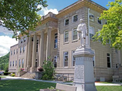
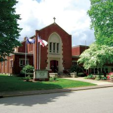
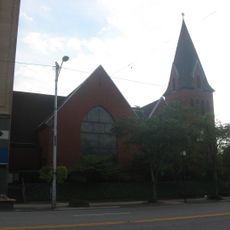
Boyd County, Administrative division in northeastern Kentucky, United States.

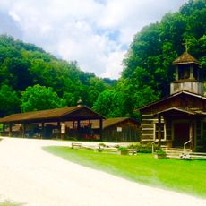
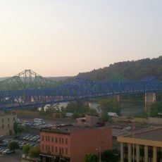
Boyd County is an administrative division in northeastern Kentucky bordering Ohio along the Ohio River. The territory encompasses several communities and river valleys, with Ashland serving as its largest urban center.

Established in 1860 as Kentucky's 107th county, it was named after U.S. congressman Linn Boyd and formed from portions of Greenup, Carter, and Lawrence Counties.

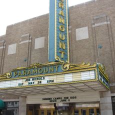
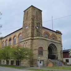
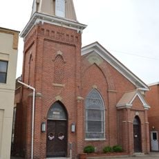
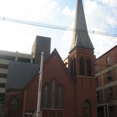
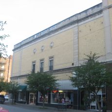
The Convention & Arts Center presents regional performances and exhibitions that shape local artistic life and draw both residents and visitors throughout the year.

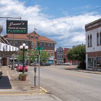
Visitors can obtain local information from county offices and tourist centers throughout the area. Travel through the region is easiest along main highways that connect major communities.

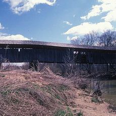
Archaeological evidence points to ancient settlements in the area through earthen mounds containing human remains and artifacts from prehistoric cultures. These mounds offer glimpses into the region's earliest inhabitants.

The community of curious travelers

AroundUs brings together thousands of curated places, local tips, and hidden gems, enriched daily by 60,000 contributors worldwide.

Start exploring
Location
Inception
February 16, 1860
Capital city
Catlettsburg
Shares border with
Lawrence County, Greenup County, Carter County, Lawrence County, Wayne County
GPS coordinates
38.36000,-82.69000
Latest update
December 7, 2025 19:25
Around this place
Paramount Arts Center
United States of America

Paramount Arts Center

13.9 km
Chesapeake and Ohio 1308
United States of America

Chesapeake and Ohio 1308

19.2 km
Ironton–Russell Bridge
United States of America

Ironton–Russell Bridge

19.1 km
United States of America

Thunderbolt Express

14.6 km
Heritage Farm Museum and Village
United States of America

Heritage Farm Museum and Village

19.5 km
Big Dipper
United States of America

Big Dipper

14.4 km
Ben Williamson Memorial Bridge
United States of America

Ben Williamson Memorial Bridge

14.5 km
Highlands Museum and Discovery Center
United States of America

Highlands Museum and Discovery Center

13.9 km
Simeon Willis Memorial Bridge
United States of America

Simeon Willis Memorial Bridge

14.5 km
Z. D. Ramsdell House
United States of America

Z. D. Ramsdell House

12.5 km
Norfolk Southern Bridge
United States of America

Norfolk Southern Bridge

11.4 km
Macedonia Church
United States of America

Macedonia Church

16.6 km
Downtown Ironton Historic District
United States of America

Downtown Ironton Historic District

19.5 km
Lawrence County Courthouse
United States of America

Lawrence County Courthouse

19.6 km
St. Paul's Lutheran Church
United States of America

St. Paul's Lutheran Church

13.6 km
Catlett House
United States of America

Catlett House

14.3 km
Grand Army of the Republic Memorial Hall
United States of America

Grand Army of the Republic Memorial Hall

19.7 km
First Presbyterian Church
United States of America

First Presbyterian Church

13.9 km
Oldtown Covered Bridge
United States of America

Oldtown Covered Bridge

19.6 km
First United Methodist Church
United States of America

First United Methodist Church

9.6 km
First Christian Church
United States of America

First Christian Church

13.9 km
St. James AME Church
United States of America

St. James AME Church

13.9 km
Joseph S. Miller House
United States of America

Joseph S. Miller House

11.7 km
Ashland Commercial Historic District
United States of America

Ashland Commercial Historic District

14 km
Bath Avenue Historic District
United States of America

Bath Avenue Historic District

13.6 km
Culbertson House
United States of America

Culbertson House

13.3 km
Marlow Theater
United States of America

Marlow Theater

19.4 km
Hopewell Bridge
United States of America

Hopewell Bridge

19.6 km
Show the full map
Administrative divisions
« Boyd County - Administrative division in northeastern Kentucky, United States » is provided by Around Us (aroundus.com). Images and texts are derived from Wikimedia project under a Creative Commons license. You are allowed to copy, distribute, and modify copies of this page, under the conditions set by the license, as long as this note is clearly visible.

Discover hidden gems everywhere you go!

From secret cafés to breathtaking viewpoints, skip the crowded tourist spots and find places that match your style. Our app makes it easy with voice search, smart filtering, route optimization, and insider tips from travelers worldwide. Download now for the complete mobile experience.

Around Us App Screenshot

A unique approach to discovering new places

Le Figaro

All the places worth exploring

France Info

A tailor-made excursion in just a few clicks

20 Minutes

Around Us
Travel Guide & Maps
Download

Send to your phone

QR Code
1

Open the camera app on your mobile.

2

Point at the QR code with your camera. A notification will appear.

3

Tap the notification to open the link.