Granville County

Log in to your account

AroundUs is a community-driven map of interesting places, built by curious explorers like you. It grows with every review, story, and photo you share.
Connect to save your favorite spots, contribute locations, and create personalized routes.
By continuing, you accept our Terms and Conditions and our Privacy Policy
Add to collection
Map
Suggest a change
Share

Granville County, Administrative county in northern North Carolina, US.

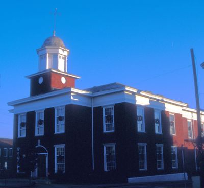
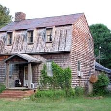
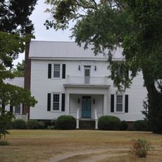
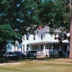
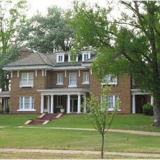
Granville County is an administrative division in northern North Carolina covering roughly 537 square miles of mixed terrain. Forests, lakes, and farmland dominate the landscape, while Oxford serves as the county seat with government offices, schools, and medical services.

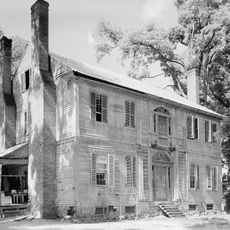
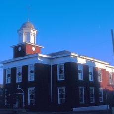
The area was established in 1746 and took its name from John Carteret, the Second Earl of Granville, who held control over the northern portion of North Carolina. This naming reflects the historical ties between the colonial region and English landholders.

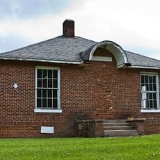
The Granville County Library System maintains multiple branches that provide educational resources, technology access, and community programs for local residents.

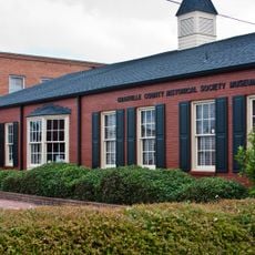
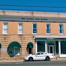
Visitors can explore Oxford, where schools, hospitals, and government buildings are located and most services are concentrated. Exploring the wider area with its rural regions will require your own transportation.

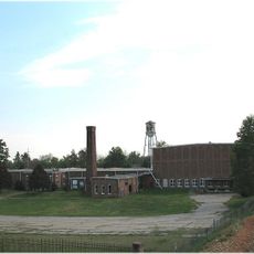
During World War II, the land hosted Camp Butner, a military training facility that occupied a large area. The facility played a role in preparing soldiers for deployment to combat zones.

Location: North Carolina

Inception: June 28, 1746

Capital city: Oxford

Shares border with: Mecklenburg County, Vance County, Franklin County, Wake County, Durham County, Person County, Halifax County

Website: http://granvillecounty.org

GPS coordinates: 36.30000,-78.66000

Latest update: December 14, 2025 08:50

Photos
Around this place
Central Children's Home of North Carolina
United States of America

Central Children's Home of North Carolina

7.9 km
Burnside Plantation House
United States of America

Burnside Plantation House

23.1 km
John P. Lawrence Plantation
United States of America

John P. Lawrence Plantation

21.4 km
Lewis Wimbish Plantation
United States of America

Lewis Wimbish Plantation

25.6 km
Cedar Creek Gallery
United States of America

Cedar Creek Gallery

25.5 km
Archibald Taylor Plantation House
United States of America

Archibald Taylor Plantation House

10.9 km
Abrams Plains
United States of America

Abrams Plains

24.2 km
Marcus Royster Plantation
United States of America

Marcus Royster Plantation

20 km
Sterling Cotton Mill
United States of America

Sterling Cotton Mill

28.8 km
Shemuel Kearney House
United States of America

Shemuel Kearney House

29.6 km
James Mangum House
United States of America

James Mangum House

31.1 km
James Blackwell House
United States of America

James Blackwell House

18.1 km
Oxford Historic District
United States of America

Oxford Historic District

6.4 km
Allen-Mangum House
United States of America

Allen-Mangum House

22 km
Hill Airy
United States of America

Hill Airy

14.9 km
Granville County Courthouse
United States of America

Granville County Courthouse

6.6 km
Ashburn Hall
United States of America

Ashburn Hall

17.6 km
Brassfield Baptist Church
United States of America

Brassfield Baptist Church

22 km
Thorndale
United States of America

Thorndale

4.8 km
Cozart-Coley House
United States of America

Cozart-Coley House

12.7 km
Maurice Hart House
United States of America

Maurice Hart House

18.2 km
John Mask Peace House
United States of America

John Mask Peace House

16 km
Aldridge H. Vann House
United States of America

Aldridge H. Vann House

28.3 km
Dr. J. A. Savage House
United States of America

Dr. J. A. Savage House

28.9 km
Red Hill
United States of America

Red Hill

28.4 km
First National Bank Building
United States of America

First National Bank Building

20.3 km
Barker House
United States of America

Barker House

16.6 km
Museum of American Pottery
United States of America

Museum of American Pottery

26 km
Show the full map
Reviews

Visited this place? Tap the stars to rate it and share your experience / photos with the community! Try now! You can cancel it anytime.

Administrative divisions
« Granville County - Administrative county in northern North Carolina, US » is provided by Around Us (aroundus.com). Images and texts are derived from Wikimedia project under a Creative Commons license. You are allowed to copy, distribute, and modify copies of this page, under the conditions set by the license, as long as this note is clearly visible.

Discover hidden gems everywhere you go!

From secret cafés to breathtaking viewpoints, skip the crowded tourist spots and find places that match your style. Our app makes it easy with voice search, smart filtering, route optimization, and insider tips from travelers worldwide. Download now for the complete mobile experience.

Around Us App Screenshot

A unique approach to discovering new places

Le Figaro

All the places worth exploring

France Info

A tailor-made excursion in just a few clicks

20 Minutes