Enable Location

We need your location to show you interesting places around you

Discover nearby places

Find interesting locations and hidden gems around you

Precise directions

Get accurate directions and distances to places

Your location is never shared with other users. It's only used when you tap the location button.

Marshall County

Log in to your account

Start exploring — it's free

Trusted by 61,368 travelers worldwide

Continue with Google
Continue with Apple
or

We will send you a code to connect

By continuing, you accept our Terms and Conditions and our Privacy Policy

Check your inbox

We've sent a pincode in your inbox. Please enter the code below.

Marshall County, County administrative division in northeastern Alabama, US.

Description

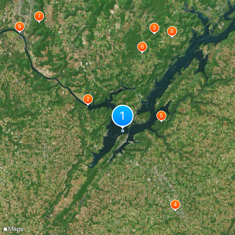
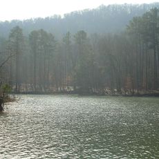
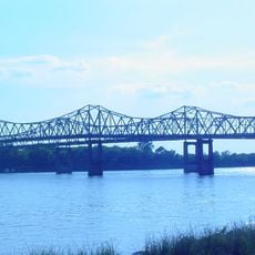
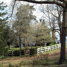
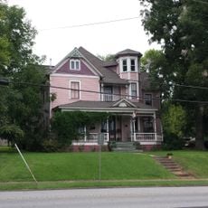
Marshall County is an administrative division in northeastern Alabama with mountains, lakes, and the Tennessee River flowing through it. The region contains several smaller towns and rural communities that make up the county area.

History

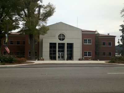
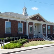
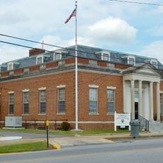
The county was established in 1836 and named after U.S. Chief Justice John Marshall. Guntersville was chosen as the administrative center and has served as the seat of county government since then.

Culture

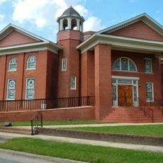
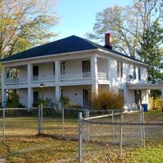
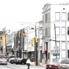
The communities scattered throughout the county reflect a mix of people whose daily lives and local traditions shape the character of the region. This diversity shows itself in the shops, restaurants, and events that define the area.

Practical

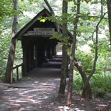
The best way to explore the region is by car, since towns and areas are spread across road networks. Hikers and nature lovers will find many ways to experience the landscape and waters throughout the area.

Did you know?

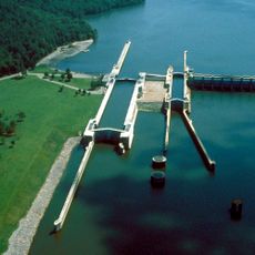
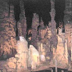
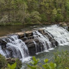
The area is home to several state parks with different attractions, from caverns to lakes for water sports. These protected natural areas draw people who seek outdoor activities and exploration.

Location
Inception
January 9, 1836
Capital city
Guntersville
Shares border with
Jackson County, Blount County, DeKalb County, Etowah County, Cullman County, Morgan County, Madison County
GPS coordinates
34.36806,-86.30389
Latest update
December 20, 2025 15:05

AroundUs brings together thousands of curated places, local tips, and hidden gems, enriched daily by 60,000 contributors worldwide. Discover all places nearby (Alabama).

Around this place
Guntersville Lake
United States of America

Guntersville Lake

10.2 km
Cathedral Caverns State Park
United States of America

Cathedral Caverns State Park

24 km
Snead State Community College
United States of America

Snead State Community College

22.4 km
Lake Guntersville State Park
United States of America

Lake Guntersville State Park

9.4 km
United States of America

Kate Duncan Smith DAR School

19 km
Madison County Nature Trail
United States of America

Madison County Nature Trail

32.2 km
United States of America

Gunters Mountain

24.9 km
Clement C. Clay Bridge
United States of America

Clement C. Clay Bridge

33.4 km
United States Post Office
United States of America

United States Post Office

14 km
High Falls Park
United States of America

High Falls Park

22.1 km
Robert G. Griffith, Sr. House
United States of America

Robert G. Griffith, Sr. House

23.7 km
Julia Street Memorial United Methodist Church
United States of America

Julia Street Memorial United Methodist Church

22.7 km
Edward Fenns Whitman House
United States of America

Edward Fenns Whitman House

22.6 km
Thomas A. Snellgrove Homestead
United States of America

Thomas A. Snellgrove Homestead

23 km
Downtown Guntersville Historic District
United States of America

Downtown Guntersville Historic District

1.4 km
Old Rock School
United States of America

Old Rock School

1.9 km
Henry-Jordan House
United States of America

Henry-Jordan House

1.4 km
Albert G. Henry, Jr., House
United States of America

Albert G. Henry, Jr., House

1.4 km
United States of America

Albertville Golf & Country Club

12.5 km
United States of America

Big Rock

17.1 km
United States of America

David Crockett Visit Lions Club Park

2.1 km
United States of America

Painted Bluff

16.8 km
United States of America

Long Point

11.9 km
United States of America

Whittaker Narrows

21.4 km
United States of America

Clark Bluff

20.1 km
United States of America

Blue Rock Bluff

13.1 km
United States of America

Ballew Point

25.9 km
United States of America

Black Bluff

26.6 km
Show the full map
« Marshall County - County administrative division in northeastern Alabama, US » is provided by Around Us (aroundus.com). Images and texts are derived from Wikimedia project under a Creative Commons license. You are allowed to copy, distribute, and modify copies of this page, under the conditions set by the license, as long as this note is clearly visible.

Discover hidden gems everywhere you go!

From secret cafés to breathtaking viewpoints, skip the crowded tourist spots and find places that match your style. Our app makes it easy with voice search, smart filtering, route optimization, and insider tips from travelers worldwide. Download now for the complete mobile experience.

Around Us App Screenshot

A unique approach to discovering new places

Le Figaro

All the places worth exploring

France Info

A tailor-made excursion in just a few clicks

20 Minutes

Around Us
Travel Guide & Maps
Download

Send to your phone

QR Code
1

Open the camera app on your mobile.

2

Point at the QR code with your camera. A notification will appear.

3

Tap the notification to open the link.