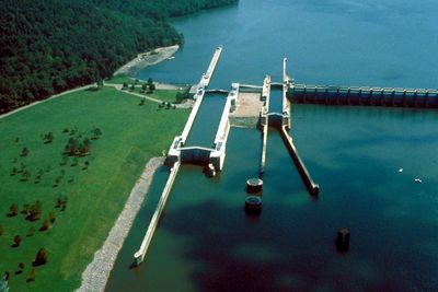
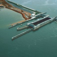
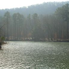
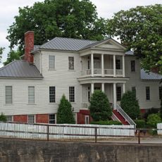
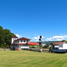
Guntersville Lake, man-made lake in Alabama, United States
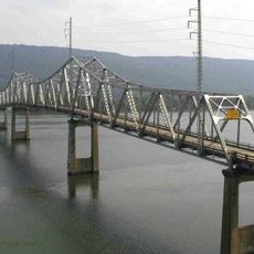
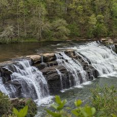
Guntersville Lake is a reservoir in Alabama formed by damming the Tennessee River, creating a large body of water surrounded by forested shores and dotted with coves and inlets of varying depths. The lake stretches across the valley with channels deep enough for boating and shallower zones that shift with seasonal water level changes.
The lake was created in the 1930s when a dam was built as part of the Tennessee Valley Authority's hydroelectric project. This construction transformed the valley landscape and enabled recreational activities that define the region today.
The lake can be accessed from surrounding highways at several public access points equipped with parking and boat launching facilities. Water levels fluctuate throughout the year due to seasonal patterns, so checking current conditions before your visit helps with planning activities.
The lake serves as a gathering place for birds of prey during winter months when eagles and hawks congregate in large numbers. Birdwatchers travel from afar specifically to witness this seasonal congregation of raptors.
The community of curious travelers
AroundUs brings together thousands of curated places, local tips, and hidden gems, enriched daily by 60,000 contributors worldwide.