Laurel County

Log in to your account

AroundUs is a community-driven map of interesting places, built by curious explorers like you. It grows with every review, story, and photo you share.
Connect to save your favorite spots, contribute locations, and create personalized routes.
Continue with Google
Continue with Apple
Continue with X
Continue with Facebook
Continue with email
By continuing, you accept our Terms and Conditions and our Privacy Policy
Create an account
Add to collection
Map
Suggest a change
Share

Laurel County, Administrative county in southeastern Kentucky, United States.

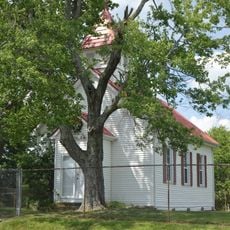
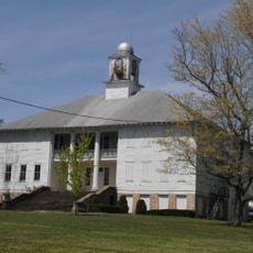
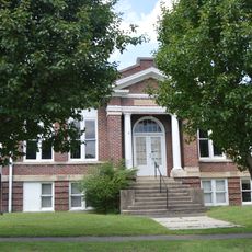
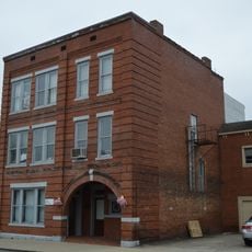
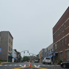
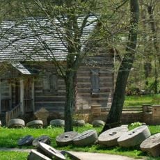
Laurel County is an administrative area in southeastern Kentucky within the Appalachian region, with London serving as its county seat. The landscape consists of rolling terrain, forests, and open farmland spread across the land.

The county was established in 1825 by combining portions of neighboring counties within Kentucky's government system. This founding shaped how the area has been organized and governed ever since.

The World Chicken Festival held in London ties the region to Kentucky Fried Chicken's roots and draws crowds each year. This connection shapes how people here see their place in a larger story.

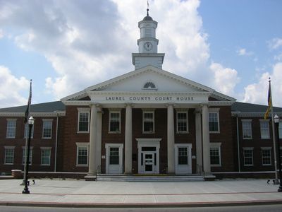
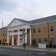
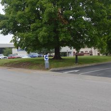
London serves as the administrative hub where county services are managed and conducted for residents. Visitors should know that alcohol sales are restricted within the city limits here.

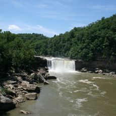
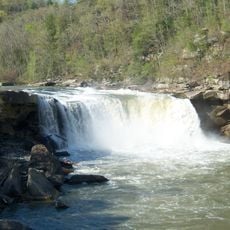
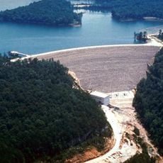
Laurel River Lake sits within the county offering water and outdoor activity options in a forested setting. The region's name comes directly from the mountain laurel plants that grow thickly throughout the area.

Location: Kentucky

Inception: December 21, 1825

Capital city: London

Elevation above the sea: 368 m

Shares border with: Jackson County, Clay County, Knox County, Whitley County, McCreary County, Pulaski County, Rockcastle County

Website: https://londonky.gov

GPS coordinates: 37.11067,-84.11780

Latest update: December 7, 2025 10:07

Photos
Around this place
Cumberland Falls
United States of America

Cumberland Falls

36.4 km
Daniel Boone National Forest
United States of America

Daniel Boone National Forest

29.2 km
Cumberland Falls State Resort Park
United States of America

Cumberland Falls State Resort Park

35.6 km
Tombstone Junction
United States of America

Tombstone Junction

37.4 km
United States of America

Dog Slaughter Falls

33 km
Eagle Falls
United States of America

Eagle Falls

35.9 km
United States of America

Sue Bennett College

3.1 km
Sander's Cafe and Museum
United States of America

Sander's Cafe and Museum

16.9 km
Dr. Thomas Walker State Historic Site
United States of America

Dr. Thomas Walker State Historic Site

35 km
Battle of Dutton's Hill Monument
United States of America

Battle of Dutton's Hill Monument

43.2 km
Federal Building-Courthouse
United States of America

Federal Building-Courthouse

3.7 km
First Christian Church
United States of America

First Christian Church

18.4 km
East Main Street Bridge
United States of America

East Main Street Bridge

17.7 km
First Evangelical Reformed Church
United States of America

First Evangelical Reformed Church

8.5 km
Old Classroom Building, Union College
United States of America

Old Classroom Building, Union College

35.1 km
John Lair House
United States of America

John Lair House

36.3 km
Speed Hall
United States of America

Speed Hall

33.6 km
Annville Institute
United States of America

Annville Institute

26.6 km
Carnegie Library
United States of America

Carnegie Library

18 km
Bennett Hiatt Log House
United States of America

Bennett Hiatt Log House

36.1 km
Lane Theater
United States of America

Lane Theater

41.3 km
Mitchell Building-First State Bank Building
United States of America

Mitchell Building-First State Bank Building

34 km
Barbourville Commercial District
United States of America

Barbourville Commercial District

34 km
Somerset Downtown Commercial District
United States of America

Somerset Downtown Commercial District

43.2 km
Soldiers and Sailors Memorial Gymnasium
United States of America

Soldiers and Sailors Memorial Gymnasium

33.6 km
Withers House
United States of America

Withers House

43.2 km
Levi Jackson Wilderness Road State Park
United States of America

Levi Jackson Wilderness Road State Park

7.4 km
Laurel River Lake
United States of America

Laurel River Lake

18.7 km
Show the full map
Reviews

Visited this place? Tap the stars to rate it and share your experience / photos with the community! Try now! You can cancel it anytime.

« Laurel County - Administrative county in southeastern Kentucky, United States » is provided by Around Us (aroundus.com). Images and texts are derived from Wikimedia project under a Creative Commons license. You are allowed to copy, distribute, and modify copies of this page, under the conditions set by the license, as long as this note is clearly visible.

Discover hidden gems everywhere you go!

From secret cafés to breathtaking viewpoints, skip the crowded tourist spots and find places that match your style. Our app makes it easy with voice search, smart filtering, route optimization, and insider tips from travelers worldwide. Download now for the complete mobile experience.

Around Us App Screenshot

A unique approach to discovering new places

Le Figaro

All the places worth exploring

France Info

A tailor-made excursion in just a few clicks

20 Minutes