Enable Location

We need your location to show you interesting places around you

Discover nearby places

Find interesting locations and hidden gems around you

Precise directions

Get accurate directions and distances to places

Your location is never shared with other users. It's only used when you tap the location button.

Northumberland County

Log in to your account

Start exploring — it's free

Trusted by 63,119 travelers worldwide

Continue with Google
Continue with Apple
or

We will send you a code to connect

By continuing, you accept our Terms and Conditions and our Privacy Policy

Check your inbox

We've sent a pincode in your inbox. Please enter the code below.

Discussion Reviews 1 Photos
20k Popularity

Northumberland County, Administrative division in Virginia, United States

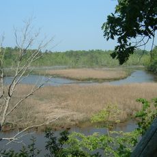
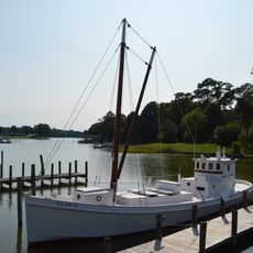
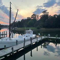
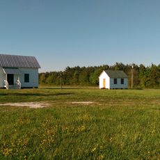
Northumberland County is an administrative area on the Northern Neck in Virginia that spans 286 square miles (740 square kilometers). The territory includes both land and water areas that shape the landscape.

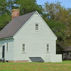
Northumberland County formed from York County in 1648 during a period when English settlers were establishing permanent communities in colonial Virginia. This creation was part of the early expansion of English presence in North America.

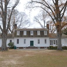
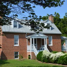
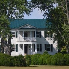
The region maintains connections to Native American heritage through archaeological sites and historical records of the Wicocomico and Chickacoan tribes. Visitors can discover traces of these early settlements across different locations.

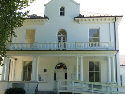
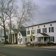
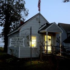
Northumberland County administration is based in Heathsville and handles local services such as tax collection and permitting processes. Visitors should know that most services are available during standard business hours.

Northumberland County played a surprisingly important role in the formation of around 116 of Virginia's 172 counties through its divisions. This administrative legacy makes it a key location in the state's political development.

The community of curious travelers

AroundUs brings together thousands of curated places, local tips, and hidden gems, enriched daily by 60,000 contributors worldwide.

Start exploring
Location
Inception
1648
Capital city
Heathsville
Shares border with
Richmond County, Westmoreland County, Lancaster County, St. Mary's County
GPS coordinates
37.86000,-76.38000
Latest update
December 7, 2025 10:06
Around this place
Belle Isle State Park
United States of America

Belle Isle State Park

21.5 km
Smith Point Light
United States of America

Smith Point Light

17.4 km
Cobbs Hall
United States of America

Cobbs Hall

13.4 km
Bush Mill Stream Natural Area Preserve
United States of America

Bush Mill Stream Natural Area Preserve

6.2 km
Wheatland
United States of America

Wheatland

19.5 km
USS Aquamarine
United States of America

USS Aquamarine

22.4 km
Lancaster Court House Historic District
United States of America

Lancaster Court House Historic District

12.5 km
St. Stephen's Church
United States of America

St. Stephen's Church

10.6 km
Mary Ball Washington Museum and Library
United States of America

Mary Ball Washington Museum and Library

12.5 km
Great Wicomico River Light
United States of America

Great Wicomico River Light

11.7 km
Linden Farm
United States of America

Linden Farm

22.6 km
Reedville Historic District
United States of America

Reedville Historic District

9.3 km
Coan Baptist Church
United States of America

Coan Baptist Church

13.9 km
Heathsville Historic District
United States of America

Heathsville Historic District

10.5 km
Village of Morattico Historic District
United States of America

Village of Morattico Historic District

23.3 km
Kinsale Historic District
United States of America

Kinsale Historic District

25.8 km
The Academy
United States of America

The Academy

11.3 km
Versailles
United States of America

Versailles

3.9 km
Kirkland Grove Campground
United States of America

Kirkland Grove Campground

10.3 km
Howland Chapel School
United States of America

Howland Chapel School

6.9 km
Holley Graded School
United States of America

Holley Graded School

16.7 km
Bluff Point Graded School No. 3
United States of America

Bluff Point Graded School No. 3

17.1 km
Steuart Blakemore Building
United States of America

Steuart Blakemore Building

12.5 km
Elva C
United States of America

Elva C

9.3 km
Clifton
United States of America

Clifton

16.3 km
Claughton-Wright House
United States of America

Claughton-Wright House

19 km
Reedville Fishermen's Museum
United States of America

Reedville Fishermen's Museum

9.4 km
Shiloh School
United States of America

Shiloh School

11.1 km
Show the full map
Reviews
Share your experience

No review yet

Discussions
Start a discussion...

No discussion yet

« Northumberland County - Administrative division in Virginia, United States » is provided by Around Us (aroundus.com). Images and texts are derived from Wikimedia project under a Creative Commons license. You are allowed to copy, distribute, and modify copies of this page, under the conditions set by the license, as long as this note is clearly visible.

Discover hidden gems everywhere you go!

From secret cafés to breathtaking viewpoints, skip the crowded tourist spots and find places that match your style. Our app makes it easy with voice search, smart filtering, route optimization, and insider tips from travelers worldwide. Download now for the complete mobile experience.

Around Us App Screenshot

A unique approach to discovering new places

Le Figaro

All the places worth exploring

France Info

A tailor-made excursion in just a few clicks

20 Minutes

Around Us
Travel Guide & Maps
Download

Send to your phone

QR Code
1

Open the camera app on your mobile.

2

Point at the QR code with your camera. A notification will appear.

3

Tap the notification to open the link.