Enable Location

We need your location to show you interesting places around you

Discover nearby places

Find interesting locations and hidden gems around you

Precise directions

Get accurate directions and distances to places

Your location is never shared with other users. It's only used when you tap the location button.

Taylor County

Log in to your account

Start exploring — it's free

Trusted by 61,324 travelers worldwide

Continue with Google
Continue with Apple
or

We will send you a code to connect

By continuing, you accept our Terms and Conditions and our Privacy Policy

Check your inbox

We've sent a pincode in your inbox. Please enter the code below.

Taylor County, Administrative county in northern Wisconsin, United States.

Description

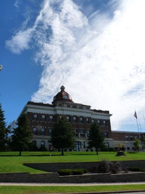
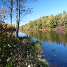
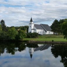
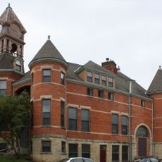
Taylor County is an administrative division in northern Wisconsin covering a large land area with a mix of forests, wetlands, and farming land. Medford serves as the county seat and main center for local government and community services.

History

The area was established in 1875 and named after William Robert Taylor, becoming one of Wisconsin's administrative divisions. This founding marked the start of organized local governance for a previously unsettled region.

Culture

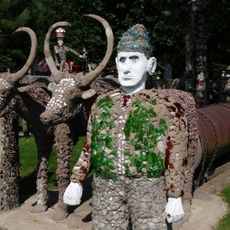
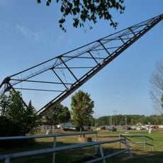
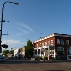
Agricultural traditions shape daily life here, with local fairs and seasonal events drawing people from surrounding towns together. These gatherings celebrate farming heritage and outdoor recreation, which remain central to how residents spend their time.

Practical

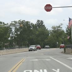
Visiting this area works best with a car since towns are spread out and public transportation is limited. Summer and early fall offer the best conditions for exploring, when weather is mild and local events take place.

Did you know?

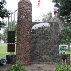
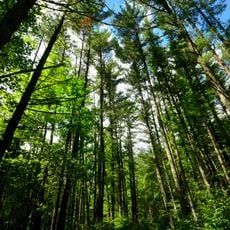
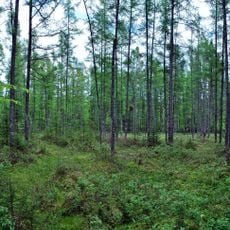
The area has deep roots in logging heritage, reflected in many town names and the way the landscape was shaped by timber operations. Today, forestry and land management remain important parts of the local economy and character.

Location
Inception
1875
Capital city
Medford
Shares border with
Price County, Lincoln County, Marathon County, Clark County, Chippewa County, Rusk County
GPS coordinates
45.21000,-90.50000
Latest update
December 7, 2025 19:23

AroundUs brings together thousands of curated places, local tips, and hidden gems, enriched daily by 60,000 contributors worldwide. Discover all places nearby (Wisconsin).

Around this place
Grandfather Falls
United States of America

Grandfather Falls

57.2 km
Brunet Island State Park
United States of America

Brunet Island State Park

52.4 km
Lidice Memorial
United States of America

Lidice Memorial

54.4 km
Council Grounds State Park
United States of America

Council Grounds State Park

59.4 km
Flambeau River State Forest
United States of America

Flambeau River State Forest

63.4 km
Wisconsin Concrete Park
United States of America

Wisconsin Concrete Park

52 km
Cornell Pulpwood Stacker
United States of America

Cornell Pulpwood Stacker

51.5 km
Twin Lakes Bog State Natural Area
United States of America

Twin Lakes Bog State Natural Area

8.6 km
Z. C. B. J. Hall
United States of America

Z. C. B. J. Hall

54.2 km
Upham Mansion
United States of America

Upham Mansion

65.7 km
Willard D. Purdy Junior High and Vocational School
United States of America

Willard D. Purdy Junior High and Vocational School

65.9 km
T.B. Scott Free Library
United States of America

T.B. Scott Free Library

62.7 km
Lincoln County Courthouse
United States of America

Lincoln County Courthouse

64.1 km
Flambeau Mission Church
United States of America

Flambeau Mission Church

55.7 km
Merrill City Hall
United States of America

Merrill City Hall

63.6 km
First Street Bridge (Merrill, Wisconsin)
United States of America

First Street Bridge (Merrill, Wisconsin)

62.6 km
Woodland Hotel
United States of America

Woodland Hotel

29.5 km
Jump River Town Hall
United States of America

Jump River Town Hall

28.5 km
D. R. Moon Memorial Library
United States of America

D. R. Moon Memorial Library

43.9 km
Medford Free Public Library
United States of America

Medford Free Public Library

15 km
Taylor County Courthouse
United States of America

Taylor County Courthouse

14.8 km
United States of America

Columbia Park Band Shell

65.3 km
L.I. Roe House
United States of America

L.I. Roe House

43.6 km
Robert Schofield House
United States of America

Robert Schofield House

50.4 km
Edgar Steam Show
United States of America

Edgar Steam Show

52.5 km
Jurustic Park
United States of America

Jurustic Park

59 km
Mondeaux Dam Recreation Area
United States of America

Mondeaux Dam Recreation Area

14.3 km
Marathon City Bridge
United States of America

Marathon City Bridge

60.2 km
Show the full map
Administrative divisions
« Taylor County - Administrative county in northern Wisconsin, United States » is provided by Around Us (aroundus.com). Images and texts are derived from Wikimedia project under a Creative Commons license. You are allowed to copy, distribute, and modify copies of this page, under the conditions set by the license, as long as this note is clearly visible.

Discover hidden gems everywhere you go!

From secret cafés to breathtaking viewpoints, skip the crowded tourist spots and find places that match your style. Our app makes it easy with voice search, smart filtering, route optimization, and insider tips from travelers worldwide. Download now for the complete mobile experience.

Around Us App Screenshot

A unique approach to discovering new places

Le Figaro

All the places worth exploring

France Info

A tailor-made excursion in just a few clicks

20 Minutes

Around Us
Travel Guide & Maps
Download

Send to your phone

QR Code
1

Open the camera app on your mobile.

2

Point at the QR code with your camera. A notification will appear.

3

Tap the notification to open the link.