Enable Location

We need your location to show you interesting places around you

Discover nearby places

Find interesting locations and hidden gems around you

Precise directions

Get accurate directions and distances to places

Your location is never shared with other users. It's only used when you tap the location button.

Clay County

Log in to your account

Start exploring — it's free

Trusted by 61,972 travelers worldwide

Continue with Google
Continue with Apple
or

We will send you a code to connect

By continuing, you accept our Terms and Conditions and our Privacy Policy

Check your inbox

We've sent a pincode in your inbox. Please enter the code below.

Clay County, Administrative county in Tennessee, United States.

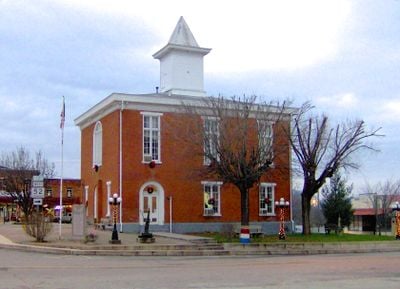
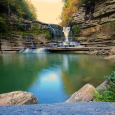
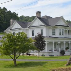
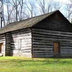
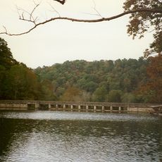
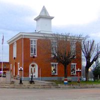
Clay County is an administrative county in Tennessee that covers a rural landscape of farmland and woodlands. The Cumberland River flows through its center, while Celina serves as the county seat and only incorporated city.

The county was established in 1870 by combining territories from neighboring counties. It was named after a prominent 19th-century statesman.

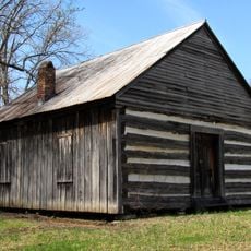
Farming shapes daily life here, with cattle ranches and poultry operations visible across the landscape. Visitors notice how these activities define the region's character and connect families to the land.

Celina is the central hub for visitors seeking services and information. The region is rural, so having your own transportation makes exploring the area much easier.

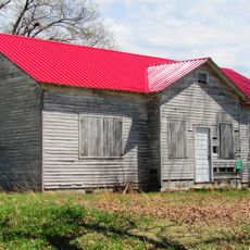
The region is a major poultry producer and contributes significantly to Tennessee's agricultural output. This specialization has shaped the area's economy and infrastructure for generations.

The community of curious travelers

AroundUs brings together thousands of curated places, local tips, and hidden gems, enriched daily by 60,000 contributors worldwide.

Start exploring
Location
Inception
1870
Capital city
Celina
Shares border with
Monroe County, Jackson County, Macon County, Overton County, Pickett County, Clinton County, Cumberland County
GPS coordinates
36.55000,-85.54000
Latest update
December 7, 2025 20:21
Around this place
Cummins Falls State Park
United States of America

Cummins Falls State Park

33.1 km
Cummins Falls
United States of America

Cummins Falls

33.6 km
Standing Stone State Park
United States of America

Standing Stone State Park

14.2 km
Tucker Stadium
United States of America

Tucker Stadium

41.5 km
Donoho Hotel
United States of America

Donoho Hotel

27 km
Cordell Hull Birthplace State Park
United States of America

Cordell Hull Birthplace State Park

32.2 km
Fort Blount
United States of America

Fort Blount

31.9 km
Old Mulkey Meetinghouse State Historic Site
United States of America

Old Mulkey Meetinghouse State Historic Site

20.6 km
Alpine Institute
United States of America

Alpine Institute

33.6 km
Davis-Hull House
United States of America

Davis-Hull House

49 km
Cullum Mansion
United States of America

Cullum Mansion

49.1 km
Broad Street Church of Christ
United States of America

Broad Street Church of Christ

43.1 km
Pickett County Courthouse
United States of America

Pickett County Courthouse

36.8 km
Fite-Williams-Ligon House
United States of America

Fite-Williams-Ligon House

49.6 km
Algood United Methodist Church
United States of America

Algood United Methodist Church

40.5 km
Judge Killis Huddleston House
United States of America

Judge Killis Huddleston House

41.8 km
Mount Vernon AME Church
United States of America

Mount Vernon AME Church

27 km
Marrowbone Historic District
United States of America

Marrowbone Historic District

31.2 km
Jesse Noland House
United States of America

Jesse Noland House

41.1 km
Clay County Courthouse
United States of America

Clay County Courthouse

3 km
James Baker House
United States of America

James Baker House

37.4 km
Belview School
United States of America

Belview School

40.7 km
Coe House
United States of America

Coe House

31.5 km
Old Mulkey Meetinghouse
United States of America

Old Mulkey Meetinghouse

20.6 km
Macon County Fairgrounds
United States of America

Macon County Fairgrounds

47.2 km
Lafayette Theatre
United States of America

Lafayette Theatre

43.7 km
Standing Stone Rustic Park Historic District
United States of America

Standing Stone Rustic Park Historic District

14 km
Cumberland County Courthouse
United States of America

Cumberland County Courthouse

30.7 km
Show the full map
Administrative divisions
« Clay County - Administrative county in Tennessee, United States » is provided by Around Us (aroundus.com). Images and texts are derived from Wikimedia project under a Creative Commons license. You are allowed to copy, distribute, and modify copies of this page, under the conditions set by the license, as long as this note is clearly visible.

Discover hidden gems everywhere you go!

From secret cafés to breathtaking viewpoints, skip the crowded tourist spots and find places that match your style. Our app makes it easy with voice search, smart filtering, route optimization, and insider tips from travelers worldwide. Download now for the complete mobile experience.

Around Us App Screenshot

A unique approach to discovering new places

Le Figaro

All the places worth exploring

France Info

A tailor-made excursion in just a few clicks

20 Minutes

Around Us
Travel Guide & Maps
Download

Send to your phone

QR Code
1

Open the camera app on your mobile.

2

Point at the QR code with your camera. A notification will appear.

3

Tap the notification to open the link.