Clark County, Administrative county in central Wisconsin, United States.
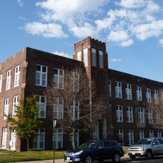
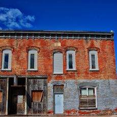
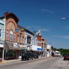
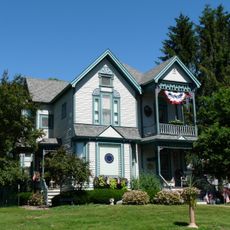
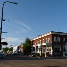
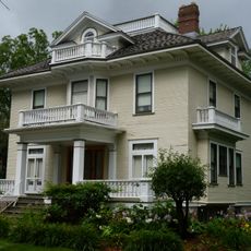
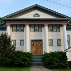
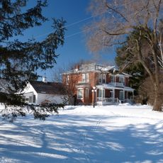
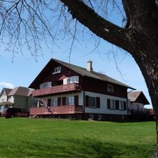
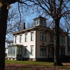
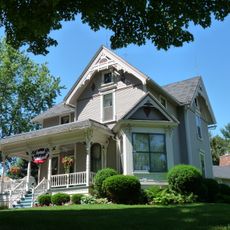
Clark County is an administrative county in central Wisconsin with forests, rivers, and farmland that shape its landscape. The area includes several small towns and rural communities connected by a network of roads.
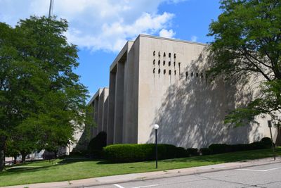
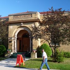
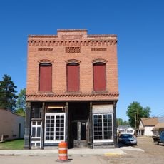
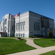
The county was founded in 1853 as an administrative division, with Neillsville established as its governmental center. This creation reflected the early settlement and organization of Wisconsin as a state.
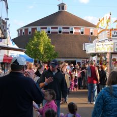
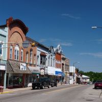
Agriculture remains woven into daily life here, shaping local celebrations and how people spend their time throughout the year. You'll notice farmland and rural traditions visible in nearly every corner of the county.
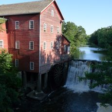
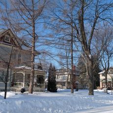
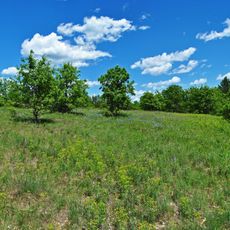
The county offers many opportunities for outdoor activities with forests and rivers accessible at various locations throughout the area. Spring and autumn are ideal times for exploring, when weather is mild and the landscape is most inviting.
The county borders six neighboring Wisconsin counties, creating important connections across the region. This central location has influenced trade patterns and regional relationships throughout its history.
The community of curious travelers
AroundUs brings together thousands of curated places, local tips, and hidden gems, enriched daily by 60,000 contributors worldwide.