Madison County

Log in to your account

AroundUs is a community-driven map of interesting places, built by curious explorers like you. It grows with every review, story, and photo you share.
Connect to save your favorite spots, contribute locations, and create personalized routes.
Continue with Google
Continue with Apple
Continue with X
Continue with Facebook
Continue with email
By continuing, you accept our Terms and Conditions and our Privacy Policy
Create an account
Add to collection
Map
Suggest a change
Share

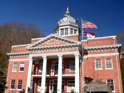
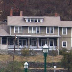
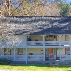
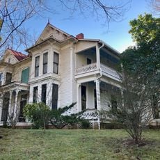
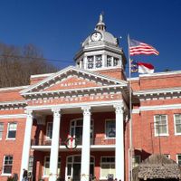
Madison County, Mountain county in North Carolina, US

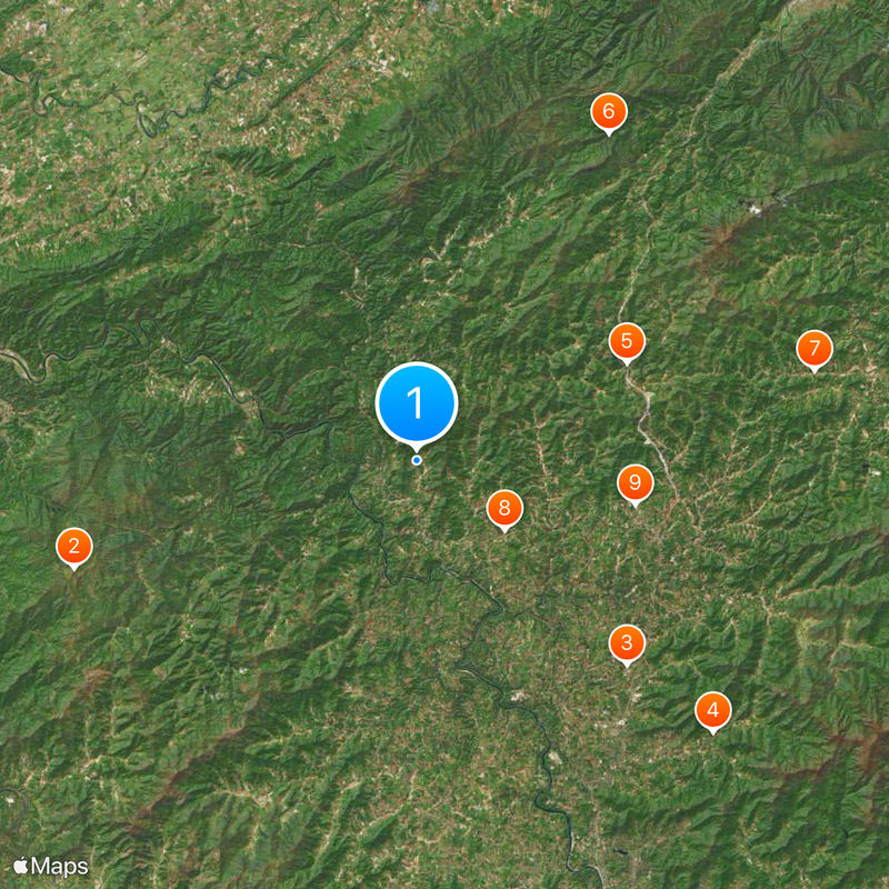
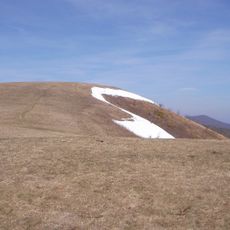
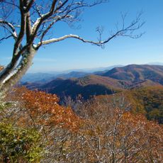
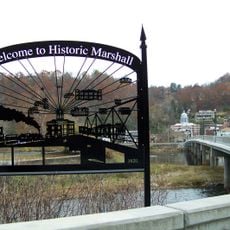
Madison County is a mountainous area in the Appalachian region covering roughly 451 square miles and marked by dense forests and the French Broad River. The river flows through Marshall and Hot Springs, forming a central natural feature of the landscape.

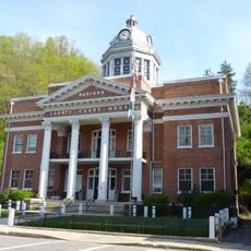
The county was established in 1851, formed from portions of Buncombe and Yancey Counties and named after James Madison, the fourth U.S. President. This creation was part of the regional expansion into western Appalachia during the 1800s.

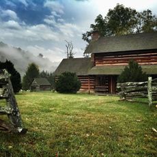
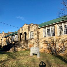
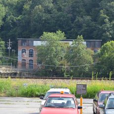
The Long Ridge community near Mars Hill is home to one of the last Rosenwald Schools in Western North Carolina, standing as a reminder of African American educational history in the region. The building reflects how education shaped local communities decades ago.

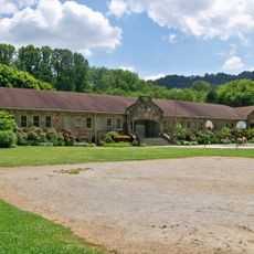
The county operates a school system serving its residents through one early college, a traditional high school, a middle school, and three elementary schools spread across the area. The mountainous terrain means good hiking boots are helpful if you plan to explore the landscape.

Mars Hill University, founded in 1856, was the first higher education institution in western North Carolina and shaped the region's educational landscape. This institution remains an important anchor for the local community's growth and identity.

Location: North Carolina

Inception: 1851

Capital city: Marshall

Shares border with: Greene County, Unicoi County, Yancey County, Buncombe County, Haywood County, Cocke County

Website: http://madisoncountync.org

GPS coordinates: 35.86000,-82.71000

Latest update: December 20, 2025 12:05

Photos
Around this place
Max Patch
United States of America

Max Patch

23.4 km
United States of America

Asheville-Weaverville Speedway

19.1 km
Zebulon B. Vance Birthplace
United States of America

Zebulon B. Vance Birthplace

26.2 km
United States of America

Laurel Creek Gorge Bridge

15.1 km
Lamar Alexander Rocky Fork State Park
United States of America

Lamar Alexander Rocky Fork State Park

24.7 km
Bald Creek Historic District
United States of America

Bald Creek Historic District

26.6 km
Jeff White House
United States of America

Jeff White House

7.3 km
Mars Hill High School
United States of America

Mars Hill High School

14.5 km
Dr. John G. & Nannie H. Barrett Farm
United States of America

Dr. John G. & Nannie H. Barrett Farm

27 km
Madison County Courthouse
United States of America

Madison County Courthouse

7.3 km
Capitola Manufacturing Company Cotton Yarn Mill
United States of America

Capitola Manufacturing Company Cotton Yarn Mill

7.6 km
United States of America

Hot Springs Historic District

11.2 km
United States of America

Dorland Memorial Presbyterian Church

11.3 km
United States of America

Marshall High School

7.5 km
United States of America

David M. Buck House

24.3 km
United States of America

Bank of French Broad

7.3 km
California Creek Missionary Baptist Church
United States of America

California Creek Missionary Baptist Church

17.8 km
Marshall Main Street Historic District
United States of America

Marshall Main Street Historic District

7.4 km
James H. White House
United States of America

James H. White House

7.3 km
United States of America

Henry Ottinger House

14.1 km
Joseph P. Eller House
United States of America

Joseph P. Eller House

19 km
Sunnybank
United States of America

Sunnybank

11.4 km
Brigman-Chambers House
United States of America

Brigman-Chambers House

26.2 km
Waterfall on West Prong Hickey Fork
United States of America

Waterfall on West Prong Hickey Fork

15.1 km
Carter-Swain House
United States of America

Carter-Swain House

21.2 km
United States of America

Mars Hill University

14.9 km
United States of America

Baxter Cliff

19.1 km
United States of America

Alexander River Park

17.3 km
Show the full map
Reviews

Visited this place? Tap the stars to rate it and share your experience / photos with the community! Try now! You can cancel it anytime.

Administrative divisions
« Madison County - Mountain county in North Carolina, US » is provided by Around Us (aroundus.com). Images and texts are derived from Wikimedia project under a Creative Commons license. You are allowed to copy, distribute, and modify copies of this page, under the conditions set by the license, as long as this note is clearly visible.

Discover hidden gems everywhere you go!

From secret cafés to breathtaking viewpoints, skip the crowded tourist spots and find places that match your style. Our app makes it easy with voice search, smart filtering, route optimization, and insider tips from travelers worldwide. Download now for the complete mobile experience.

Around Us App Screenshot

A unique approach to discovering new places

Le Figaro

All the places worth exploring

France Info

A tailor-made excursion in just a few clicks

20 Minutes