
Saunders County, Administrative county in eastern Nebraska, US
Saunders County spans across 760 square miles of rolling hills that extend toward the Platte River in the eastern region of Nebraska.
The Nebraska Territorial Legislature established the county in 1856, initially naming it Calhoun County before renaming it to Saunders County in 1862.
The county maintains local heritage through its historical societies, agricultural traditions, and regular community events centered in the city of Wahoo.
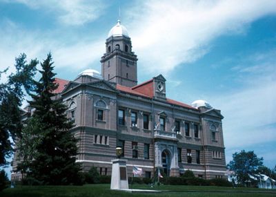
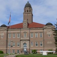
The Saunders County Courthouse in Wahoo provides government services to residents from Monday through Friday between 8:00 AM and 4:30 PM.
The county's geographical position at 41.23 latitude and -96.63 longitude creates optimal conditions for agricultural production across 750 square miles of land.
Location: Nebraska
Inception: 1856
Capital city: Wahoo
Shares border with: Dodge County, Lancaster County, Butler County, Douglas County, Sarpy County, Cass County
Website: http://saunderscounty.ne.gov
GPS coordinates: 41.23000,-96.63000
Latest update: March 2, 2025 23:16
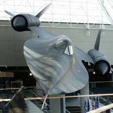
Strategic Air and Space Museum
35.1 km
Eugene T. Mahoney State Park
34.9 km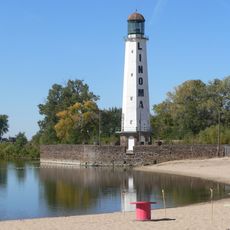
Linoma Beach
32.1 km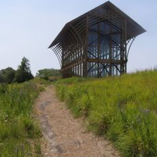
Holy Family Shrine
34.2 km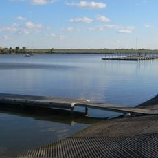
Branched Oak State Recreation Area
34.8 km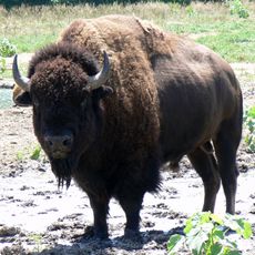
Lee G. Simmons Conservation Park and Wildlife Safari
36.6 km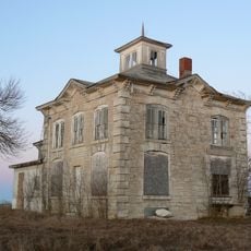
Israel Beetison House
32 km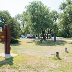
Fremont Lakes State Recreation Area
25.1 km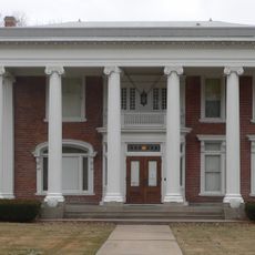
Nye House
26.2 km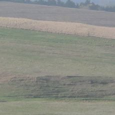
Upper Oak Creek Descent Ruts of the Woodbury Cutoff, Ox Bow Trail of the California Road
30.8 km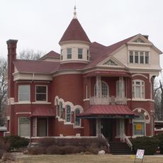
J. D. McDonald House
25.6 km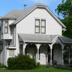
Howard Hanson House
1.8 km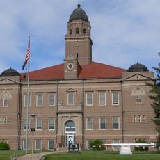
Saunders County Courthouse
2.4 km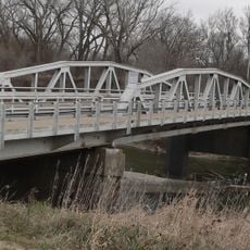
Ashland Bridge
31 km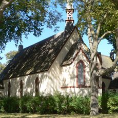
St. Stephen's Episcopal Church
30.3 km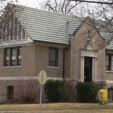
Ashland Public Library
30.4 km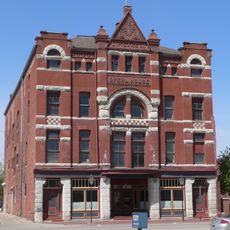
Love-Larson Opera House
25.3 km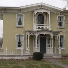
George and Nancy Turner House
24.9 km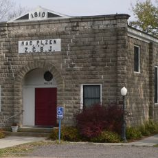
Rad Plzen cis. 9 Z.C.B.J.
25.1 km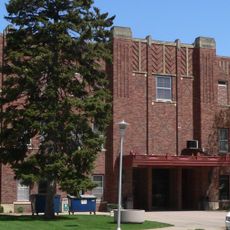
Fremont Municipal Auditorium
25.6 km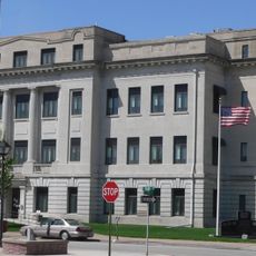
Dodge County Courthouse
25.2 km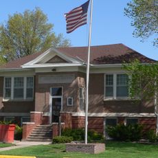
North Bend Carnegie Library
28.9 km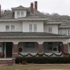
R. B. Schneider House
25.7 km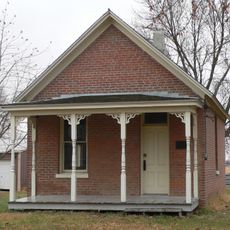
Fontanelle Township Hall
38.2 km
National Bank of Ashland
30.5 km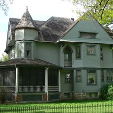
F.J. Kirchman House
2 km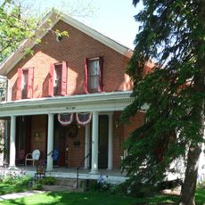
Samuel Bullock House
25.3 km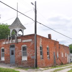
Elkhorn Town Hall
33.5 kmReviews
Visited this place? Tap the stars to rate it and share your experience / photos with the community! Try now! You can cancel it anytime.
Discover hidden gems everywhere you go!
From secret cafés to breathtaking viewpoints, skip the crowded tourist spots and find places that match your style. Our app makes it easy with voice search, smart filtering, route optimization, and insider tips from travelers worldwide. Download now for the complete mobile experience.

A unique approach to discovering new places❞
— Le Figaro
All the places worth exploring❞
— France Info
A tailor-made excursion in just a few clicks❞
— 20 Minutes