Otoe County

Log in to your account

AroundUs is a community-driven map of interesting places, built by curious explorers like you. It grows with every review, story, and photo you share.
Connect to save your favorite spots, contribute locations, and create personalized routes.
Continue with Google
Continue with Apple
Continue with X
Continue with Facebook
Continue with email
By continuing, you accept our Terms and Conditions and our Privacy Policy
Create an account
Add to collection
Map
Suggest a change
Share

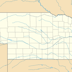
Otoe County, County seat in southeastern Nebraska, United States.

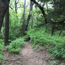
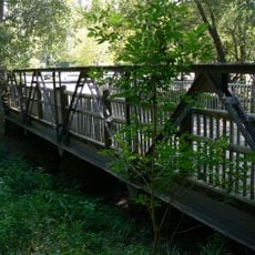
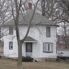
Otoe County spans southeastern Nebraska with rolling hills, agricultural fields, and the Missouri River forming its eastern boundary. The landscape shows small towns set among farmland and natural features that define the region's character.

The county was established in 1854 and named after the Otoe Native American tribe who inhabited the region before European settlement. Early development centered on agricultural expansion as settlers moved into the area.

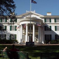
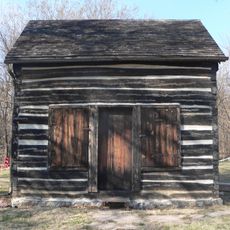
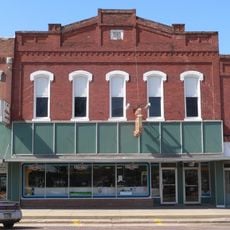
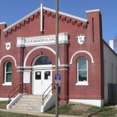
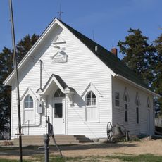
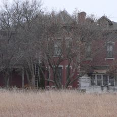
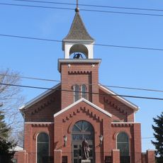
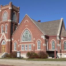
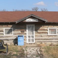
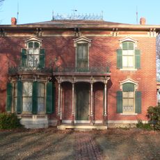
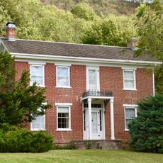
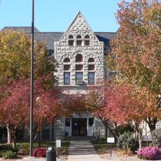
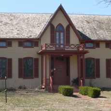
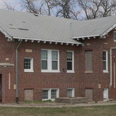
Nebraska City, the county seat, holds multiple historical museums and landmarks reflecting the region's pioneer heritage. These spaces show how earlier generations lived and shaped the community through farming and trade.

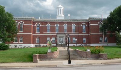
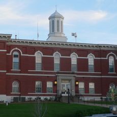
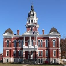
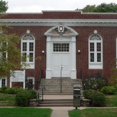
The county courthouse in Nebraska City handles administrative services and is located on Central Avenue. It operates on weekdays, so plan visits accordingly to access government services or public records.

The county's population peaked at about 25000 in 1890, nearly double what it is today. This decline reflects broader patterns of rural population movement across America over the past century.

Location: Nebraska

Inception: 1854

Capital city: Nebraska City

Shares border with: Cass County, Lancaster County, Nemaha County, Johnson County, Gage County, Fremont County, Atchison County

Website: http://co.otoe.ne.us

GPS coordinates: 40.65000,-96.14000

Latest update: December 10, 2025 15:54

Photos
Around this place
Arbor Lodge State Historical Park and Arboretum
United States of America

Arbor Lodge State Historical Park and Arboretum

22.1 km
Mayhew Cabin
United States of America

Mayhew Cabin

22.9 km
Waubonsie State Park
United States of America

Waubonsie State Park

38.2 km
Otoe County Courthouse
United States of America

Otoe County Courthouse

24 km
Tecumseh Opera House
United States of America

Tecumseh Opera House

31.8 km
Grand Army of the Republic Memorial Hall
United States of America

Grand Army of the Republic Memorial Hall

24.1 km
Morton-James Public Library
United States of America

Morton-James Public Library

24 km
Mynard Road Bridge
United States of America

Mynard Road Bridge

36.3 km
Harmony School, School District No. 53
United States of America

Harmony School, School District No. 53

25.1 km
Johnson County Courthouse
United States of America

Johnson County Courthouse

31.8 km
Boscobel
United States of America

Boscobel

22.5 km
George F. Lee Octagon Houses
United States of America

George F. Lee Octagon Houses

29.8 km
St. Benedict's Catholic Church
United States of America

St. Benedict's Catholic Church

25.3 km
First United Presbyterian Church
United States of America

First United Presbyterian Church

38.7 km
Hamburg Public Library
United States of America

Hamburg Public Library

41.1 km
Nehawka Public Library
United States of America

Nehawka Public Library

23.7 km
Wilber T. Reed House
United States of America

Wilber T. Reed House

38 km
United States of America

Young Cemetery Cabin

37.9 km
Jason and Elizabeth Baylor Rector House
United States of America

Jason and Elizabeth Baylor Rector House

37.5 km
Nemaha County Courthouse
United States of America

Nemaha County Courthouse

38.6 km
Jasper A. Ware House
United States of America

Jasper A. Ware House

22 km
The Elms
United States of America

The Elms

25.1 km
Manley School
United States of America

Manley School

30.2 km
Distrito electoral de Liberty
United States of America

Distrito electoral de Liberty

28.7 km
Naomi Institute
United States of America

Naomi Institute

39.4 km
Nebraska City Bridge
United States of America

Nebraska City Bridge

26.3 km
Arbor Day Farm
United States of America

Arbor Day Farm

21.9 km
Nebraska City Bridge
United States of America

Nebraska City Bridge

26.3 km
Show the full map
Reviews

Visited this place? Tap the stars to rate it and share your experience / photos with the community! Try now! You can cancel it anytime.

Administrative divisions
« Otoe County - County seat in southeastern Nebraska, United States » is provided by Around Us (aroundus.com). Images and texts are derived from Wikimedia project under a Creative Commons license. You are allowed to copy, distribute, and modify copies of this page, under the conditions set by the license, as long as this note is clearly visible.

Discover hidden gems everywhere you go!

From secret cafés to breathtaking viewpoints, skip the crowded tourist spots and find places that match your style. Our app makes it easy with voice search, smart filtering, route optimization, and insider tips from travelers worldwide. Download now for the complete mobile experience.

Around Us App Screenshot

A unique approach to discovering new places

Le Figaro

All the places worth exploring

France Info

A tailor-made excursion in just a few clicks

20 Minutes