Essex County

Log in to your account

AroundUs is a community-driven map of interesting places, built by curious explorers like you. It grows with every review, story, and photo you share.
Connect to save your favorite spots, contribute locations, and create personalized routes.
Continue with Google
Continue with Apple
Continue with X
Continue with Facebook
Continue with email
By continuing, you accept our Terms and Conditions and our Privacy Policy
Create an account
Add to collection
Map
Suggest a change
Share

Essex County, Administrative county in northeastern Vermont, US.

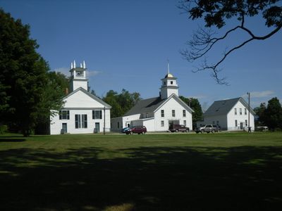
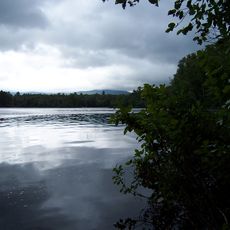
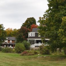
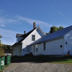
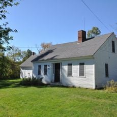
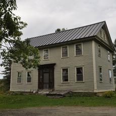
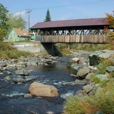
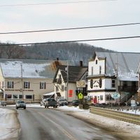
Essex County is an administrative county in northeastern Vermont, situated between Quebec and New Hampshire with mountainous terrain, numerous lakes, and dense forests throughout. Guildhall serves as the county seat and administrative center for local government operations.

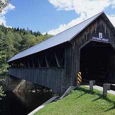
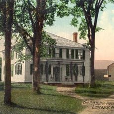
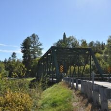
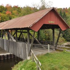
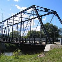
The county was formed in 1792 from parts of Chittenden and Orange counties, with Guildhall becoming the administrative center in 1800. Transportation infrastructure, particularly railroads, became crucial to the region's growth during the 1800s.

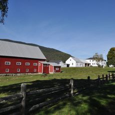
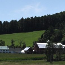
The region remains tied to forestry work, with logging, paper mills, and furniture production shaping local livelihoods and community identity. These industries have left their mark on the landscape and continue to influence how people work and live here.

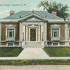
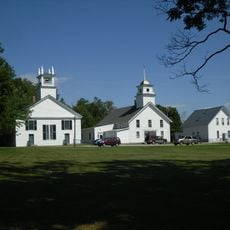
County government services and public records are centered in Guildhall, the main administrative hub for property, zoning, and tax matters. Most visitor services and information about the region can be accessed through the county seat's offices and local resources.

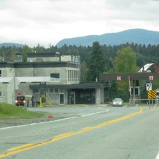
Island Pond became home to a major railroad junction that formed North America's first international rail connection in 1853. This link connected the isolated region to broader trade networks and brought unexpected growth to what had been a remote area.

Location: Vermont

Inception: 1800

Capital city: Guildhall

Shares border with: Coös County, Grafton County, Caledonia County, Orleans County, Coaticook

Website: https://essexvt.org

GPS coordinates: 44.72089,-71.74502

Latest update: December 20, 2025 15:19

Photos
Around this place
Santa's Village
United States of America

Santa's Village

38.3 km
Burke Mountain
United States of America

Burke Mountain

20.4 km
United States of America

Silvio O. Conte National Fish and Wildlife Refuge

6.2 km
Mount Orne Covered Bridge
United States of America

Mount Orne Covered Bridge

29.9 km
Janice Peaslee Bridge
United States of America

Janice Peaslee Bridge

16.4 km
Weeks Estate
United States of America

Weeks Estate

33 km
Maidstone State Park
United States of America

Maidstone State Park

12.2 km
Brighton State Park
United States of America

Brighton State Park

12.2 km
Columbia Bridge
United States of America

Columbia Bridge

21.2 km
Burklyn Hall
United States of America

Burklyn Hall

23 km
Darling Estate Historic District
United States of America

Darling Estate Historic District

23 km
Waumbek Cottages Historic District
United States of America

Waumbek Cottages Historic District

40.3 km
Wilder-Holton House
United States of America

Wilder-Holton House

27.6 km
Alice M. Ward Library
United States of America

Alice M. Ward Library

34.6 km
Wallace Farm
United States of America

Wallace Farm

23.6 km
William Dennis Weeks Memorial Library
United States of America

William Dennis Weeks Memorial Library

29.1 km
Toll House
United States of America

Toll House

18.9 km
Lee Farm
United States of America

Lee Farm

37 km
Bloomfield-Nulhegan River Route 102 Bridge
United States of America

Bloomfield-Nulhegan River Route 102 Bridge

8.5 km
Union Meeting House
United States of America

Union Meeting House

19.5 km
Benjamin Aldrich Homestead
United States of America

Benjamin Aldrich Homestead

31.3 km
Martin Homestead
United States of America

Martin Homestead

13.1 km
Burrington Covered Bridge
United States of America

Burrington Covered Bridge

25.8 km
Guildhall Village Historic District
United States of America

Guildhall Village Historic District

22.5 km
Judge David Hibbard Homestead
United States of America

Judge David Hibbard Homestead

32.5 km
Island Pond Historic District
United States of America

Island Pond Historic District

15 km
Stanhope border crossing
Canada

Stanhope border crossing

32.8 km
Mechanic Street Bridge
United States of America

Mechanic Street Bridge

29.7 km
Show the full map
Reviews

Visited this place? Tap the stars to rate it and share your experience / photos with the community! Try now! You can cancel it anytime.

« Essex County - Administrative county in northeastern Vermont, US » is provided by Around Us (aroundus.com). Images and texts are derived from Wikimedia project under a Creative Commons license. You are allowed to copy, distribute, and modify copies of this page, under the conditions set by the license, as long as this note is clearly visible.

Discover hidden gems everywhere you go!

From secret cafés to breathtaking viewpoints, skip the crowded tourist spots and find places that match your style. Our app makes it easy with voice search, smart filtering, route optimization, and insider tips from travelers worldwide. Download now for the complete mobile experience.

Around Us App Screenshot

A unique approach to discovering new places

Le Figaro

All the places worth exploring

France Info

A tailor-made excursion in just a few clicks

20 Minutes