Outagamie County, Administrative county in northeastern Wisconsin, US.
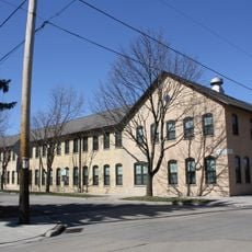
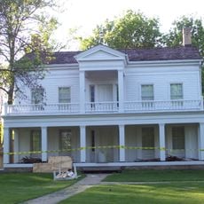
Outagamie County is an administrative area in northeastern Wisconsin with diverse landscapes and waterways throughout. The region comprises multiple towns and rural areas connected by parks, trails, and transportation networks that serve residents and visitors.
The county was established in 1852 as new territory was organized for administration and settlement. Its name comes from indigenous language and refers to a people with deep roots in the region.
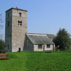
The area reflects its mixed heritage through events and traditions that bring communities together throughout the year. Visitors notice how different cultural influences shape what happens in local towns and public spaces.
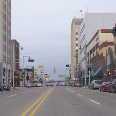
Visitors can rely on well-maintained roads and public transportation to reach different areas throughout the county. An airport serves the region, and local parks offer straightforward access for outdoor activities and recreation.
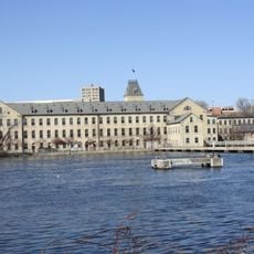
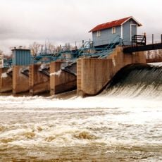
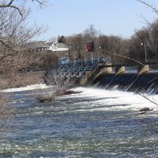
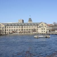
Several important rivers flow through the area and shape its landscape and opportunities for water-based activities. These waterways have long played a role in how people moved goods, traveled, and spent leisure time in the region.
The community of curious travelers
AroundUs brings together thousands of curated places, local tips, and hidden gems, enriched daily by 60,000 contributors worldwide.