
Weston, city in Missouri
Location: Platte County
Elevation above the sea: 243 m
GPS coordinates: 39.41330,-94.89780
Latest update: March 5, 2025 04:41
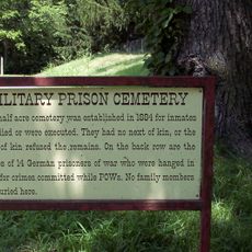
U.S. Disciplinary Barracks Cemetery
5.3 km
Fort Leavenworth National Cemetery
7.4 km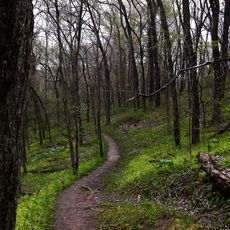
Weston Bend State Park
3 km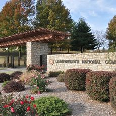
Leavenworth National Cemetery
15.1 km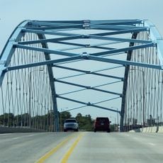
Amelia Earhart Bridge
24.6 km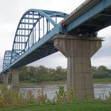
Centennial Bridge
9.4 km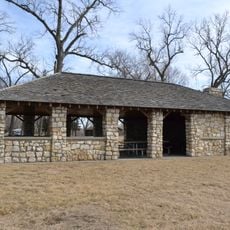
Lewis and Clark State Park
19.5 km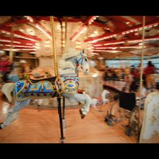
C.W. Parker Carousel Museum
10.7 km
Combined Arms Research Library
7.6 km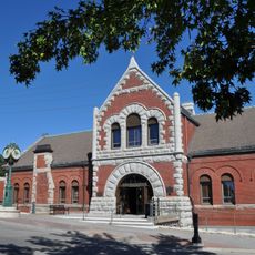
Leavenworth Riverfront Community Center
10.6 km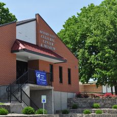
Richard Allen Cultural Center
9.9 km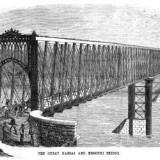
Kansas and Missouri Bridge
7.2 km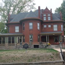
Nathaniel H. Burt House
12.1 km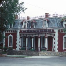
Frederick Krause Mansion
11.2 km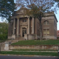
Carnegie Arts Center of Leavenworth
11.2 km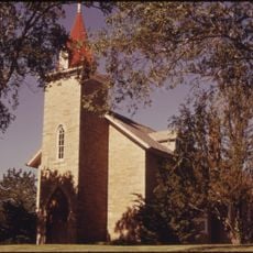
St. Patrick's Catholic Church
20.2 km
TWA Administrative Offices Building
22.4 km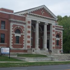
First Presbyterian Church, Leavenworth
11.2 km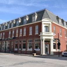
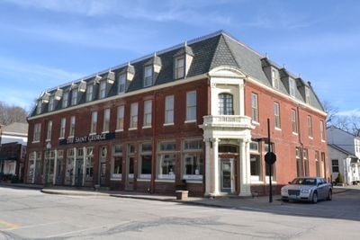
Weston Historic District
334 m
Trinity Episcopal Church
25 km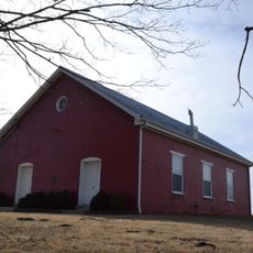
Pleasant Ridge United Baptist Church
4.1 km
Leavenworth Performing Arts Center
10.8 km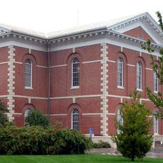
Platte County Courthouse
11.2 km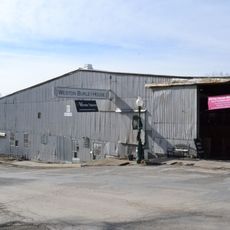
Missouri District Warehouse
11.2 km
Sugar Lake State Park Open Shelter
19.7 km
David J. Brewer House
12 km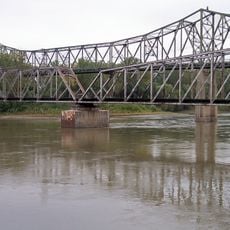
Amelia Earhart Bridge
24.6 km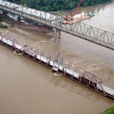
BNSF Missouri River Bridge
24.7 kmVisited this place? Tap the stars to rate it and share your experience / photos with the community! Try now! You can cancel it anytime.
Discover hidden gems everywhere you go!
From secret cafés to breathtaking viewpoints, skip the crowded tourist spots and find places that match your style. Our app makes it easy with voice search, smart filtering, route optimization, and insider tips from travelers worldwide. Download now for the complete mobile experience.

A unique approach to discovering new places❞
— Le Figaro
All the places worth exploring❞
— France Info
A tailor-made excursion in just a few clicks❞
— 20 Minutes