Enable Location

We need your location to show you interesting places around you

Discover nearby places

Find interesting locations and hidden gems around you

Precise directions

Get accurate directions and distances to places

Your location is never shared with other users. It's only used when you tap the location button.

Platte County

Log in to your account

Start exploring — it's free

Trusted by 61,976 travelers worldwide

Continue with Google
Continue with Apple
or

We will send you a code to connect

By continuing, you accept our Terms and Conditions and our Privacy Policy

Check your inbox

We've sent a pincode in your inbox. Please enter the code below.

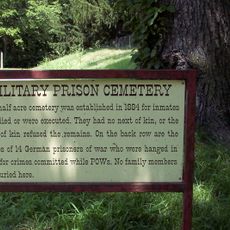
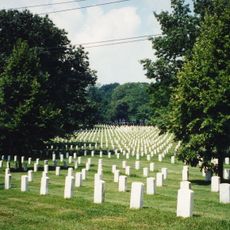
Platte County, Administrative county in northwestern Missouri, US

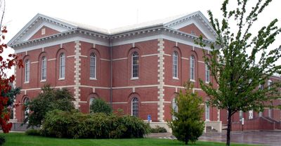
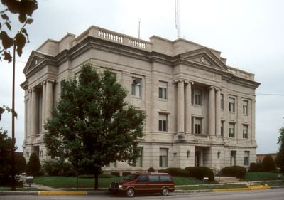
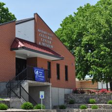
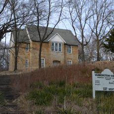
Platte County lies in northwestern Missouri between Kansas City and the Missouri River, covering both developed suburbs and open farmland. The administrative center sits in Platte City, where several county departments maintain offices along Third Street.

Founded in 1838 when Missouri was creating new administrative units as it grew into statehood, the area developed quickly. Early settlers took advantage of the river access for trade and farming, which shaped the growth of surrounding communities.

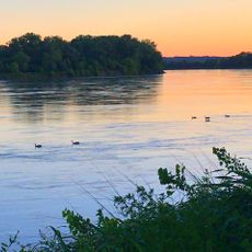
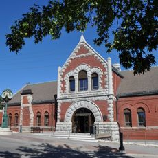
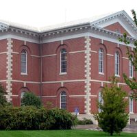
The name derives from the nearby river, which was itself named after the flat landforms found throughout the region. Locals use the courthouse in the county seat for official business and as a gathering point during public events.

County offices in Platte City operate on weekdays and provide access to a range of services. Visitors should note that rush hour traffic can affect travel through the area, as many commuters pass through daily.

The border with neighboring Kansas City runs through heavily populated areas, so residents often cross between jurisdictions without noticing. Some streets sit half in the county and half within city limits, which occasionally creates confusion over service responsibility.

The community of curious travelers

AroundUs brings together thousands of curated places, local tips, and hidden gems, enriched daily by 60,000 contributors worldwide.

Start exploring
Location
Inception
1838
Capital city
Platte City
Shares border with
Buchanan County, Wyandotte County, Leavenworth County, Clinton County, Clay County, Atchison County
GPS coordinates
39.38000,-94.77000
Latest update
December 14, 2025 17:18
Around this place
United States Penitentiary, Leavenworth
United States of America

United States Penitentiary, Leavenworth

15.3 km
U.S. Disciplinary Barracks Cemetery
United States of America

U.S. Disciplinary Barracks Cemetery

13.2 km
Fort Leavenworth National Cemetery
United States of America

Fort Leavenworth National Cemetery

14.1 km
Weston Bend State Park
United States of America

Weston Bend State Park

9.2 km
Waddell "A" Truss Bridge
United States of America

Waddell "A" Truss Bridge

22.9 km
Leavenworth National Cemetery
United States of America

Leavenworth National Cemetery

15.2 km
Centennial Bridge
United States of America

Centennial Bridge

13.2 km
C.W. Parker Carousel Museum
United States of America

C.W. Parker Carousel Museum

13.9 km
United States of America

Renner Village Archeological Site

26.4 km
Combined Arms Research Library
United States of America

Combined Arms Research Library

13.1 km
English Landing Park
United States of America

English Landing Park

23 km
Leavenworth Riverfront Community Center
United States of America

Leavenworth Riverfront Community Center

13.8 km
Richard Allen Cultural Center
United States of America

Richard Allen Cultural Center

13.9 km
Fairfax Bridge
United States of America

Fairfax Bridge

27.9 km
Platte Purchase Bridge
United States of America

Platte Purchase Bridge

27.9 km
Kansas and Missouri Bridge
United States of America

Kansas and Missouri Bridge

12.5 km
United States of America

Fort Sully

14.6 km
United States of America

US 69 Missouri River Bridge

27.9 km
Nathaniel H. Burt House
United States of America

Nathaniel H. Burt House

15 km
Frederick Krause Mansion
United States of America

Frederick Krause Mansion

1.5 km
Mackay Building
United States of America

Mackay Building

22.5 km
Benjamin Banneker School
United States of America

Benjamin Banneker School

22.1 km
Charles Smith Scott Memorial Observatory
United States of America

Charles Smith Scott Memorial Observatory

22.6 km
Carnegie Arts Center of Leavenworth
United States of America

Carnegie Arts Center of Leavenworth

14.5 km
United States of America

TWA Administrative Offices Building

11.5 km
First Presbyterian Church, Leavenworth
United States of America

First Presbyterian Church, Leavenworth

14.4 km
Washington Chapel C.M.E. Church
United States of America

Washington Chapel C.M.E. Church

21.8 km
Weston Historic District
United States of America

Weston Historic District

11.9 km
Show the full map
Administrative divisions
« Platte County - Administrative county in northwestern Missouri, US » is provided by Around Us (aroundus.com). Images and texts are derived from Wikimedia project under a Creative Commons license. You are allowed to copy, distribute, and modify copies of this page, under the conditions set by the license, as long as this note is clearly visible.

Discover hidden gems everywhere you go!

From secret cafés to breathtaking viewpoints, skip the crowded tourist spots and find places that match your style. Our app makes it easy with voice search, smart filtering, route optimization, and insider tips from travelers worldwide. Download now for the complete mobile experience.

Around Us App Screenshot

A unique approach to discovering new places

Le Figaro

All the places worth exploring

France Info

A tailor-made excursion in just a few clicks

20 Minutes

Around Us
Travel Guide & Maps
Download

Send to your phone

QR Code
1

Open the camera app on your mobile.

2

Point at the QR code with your camera. A notification will appear.

3

Tap the notification to open the link.