Enable Location

We need your location to show you interesting places around you

Discover nearby places

Find interesting locations and hidden gems around you

Precise directions

Get accurate directions and distances to places

Your location is never shared with other users. It's only used when you tap the location button.

Grafton

Log in to your account

Start exploring — it's free

Trusted by 63,125 travelers worldwide

Continue with Google
Continue with Apple
or

We will send you a code to connect

By continuing, you accept our Terms and Conditions and our Privacy Policy

Check your inbox

We've sent a pincode in your inbox. Please enter the code below.

Discussion Reviews 1 Photos
17.1k Popularity

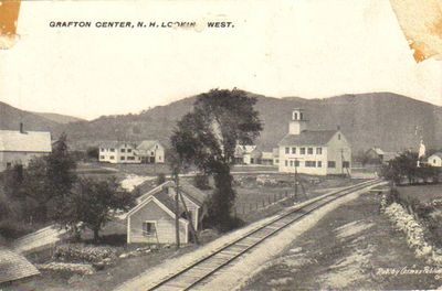
Grafton, town in New Hampshire, United States

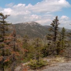
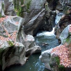
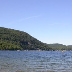
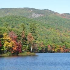
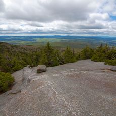
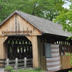
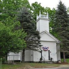
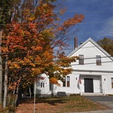
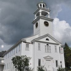
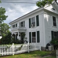
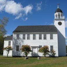
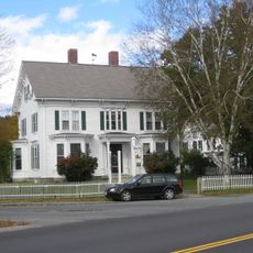
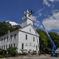
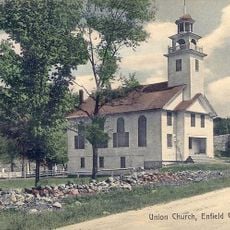
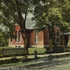
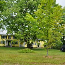
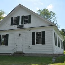
Grafton is a small town in northern New Hampshire surrounded by forests and gentle hills. It spans just over 40 square miles and contains old homes, a historic country store dating to the 1840s, a few churches, and a small library that serves as community gathering places.

The town was established in 1778 and named after an English nobleman. Its early economy relied on mining, especially the Ruggles Mica Mine, which operated for many years before mining activities ceased.

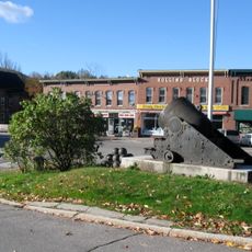
The town's name comes from an English nobleman from the 1700s. Residents gather at the local country store and celebrate seasonal events like fall festivals that keep the small-town spirit alive.

The town is small and easy to navigate on foot without heavy traffic or congestion. Most people arrive by car, as homes and attractions are situated near main roads.

In the early 2000s, a group of residents moved here seeking greater independence from local regulations, creating unexpected challenges for town services. The changes gradually faded as the community returned to its traditional pace.

The community of curious travelers

AroundUs brings together thousands of curated places, local tips, and hidden gems, enriched daily by 60,000 contributors worldwide.

Start exploring
Location
Inception
1778
Elevation above the sea
265 m
GPS coordinates
43.57333,-71.97389
Latest update
February 17, 2026 01:20
Around this place
Mount Cardigan
United States of America

Mount Cardigan

9.7 km
Sculptured Rocks Natural Area
United States of America

Sculptured Rocks Natural Area

17.7 km
Enfield Shaker Museum
United States of America

Enfield Shaker Museum

14.9 km
Wellington State Park
United States of America

Wellington State Park

8.5 km
Ragged Mountain
United States of America

Ragged Mountain

15.3 km
Cardigan Mountain State Park
United States of America

Cardigan Mountain State Park

8.5 km
Bog Bridge
United States of America

Bog Bridge

18 km
South Danbury Christian Church
United States of America

South Danbury Christian Church

12.3 km
Canaan Street Historic District
United States of America

Canaan Street Historic District

11.7 km
Bristol Town Hall
United States of America

Bristol Town Hall

19.3 km
Keniston Bridge
United States of America

Keniston Bridge

19 km
Baptist New Meeting House
United States of America

Baptist New Meeting House

17.7 km
Gardner Memorial Wayside Park
United States of America

Gardner Memorial Wayside Park

10 km
Dr. Solomon M. Whipple House
United States of America

Dr. Solomon M. Whipple House

17.8 km
Central Square Historic District
United States of America

Central Square Historic District

19.3 km
Canaan Meetinghouse
United States of America

Canaan Meetinghouse

11.6 km
Dorchester Common Historic District
United States of America

Dorchester Common Historic District

20.5 km
Hewitt House
United States of America

Hewitt House

15.3 km
Protectworth Tavern
United States of America

Protectworth Tavern

8.5 km
Springfield Town Hall and Howard Memorial Methodist Church
United States of America

Springfield Town Hall and Howard Memorial Methodist Church

10.6 km
Centre Village Meeting House
United States of America

Centre Village Meeting House

11.2 km
Minot-Sleeper Library
United States of America

Minot-Sleeper Library

19.1 km
Hebron Village Historic District
United States of America

Hebron Village Historic District

19.1 km
Owls Head
United States of America

Owls Head

18.9 km
Murray Hill Summer Home District
United States of America

Murray Hill Summer Home District

14.8 km
Enfield Center Town House
United States of America

Enfield Center Town House

11.2 km
Camps Kenwood and Evergreen
United States of America

Camps Kenwood and Evergreen

14.7 km
BM Mascoma River Bridge 130.12
United States of America

BM Mascoma River Bridge 130.12

13.6 km
Show the full map
Reviews
Share your experience

No review yet

Discussions
Start a discussion...

No discussion yet

« Grafton - town in New Hampshire, United States » is provided by Around Us (aroundus.com). Images and texts are derived from Wikimedia project under a Creative Commons license. You are allowed to copy, distribute, and modify copies of this page, under the conditions set by the license, as long as this note is clearly visible.

Discover hidden gems everywhere you go!

From secret cafés to breathtaking viewpoints, skip the crowded tourist spots and find places that match your style. Our app makes it easy with voice search, smart filtering, route optimization, and insider tips from travelers worldwide. Download now for the complete mobile experience.

Around Us App Screenshot

A unique approach to discovering new places

Le Figaro

All the places worth exploring

France Info

A tailor-made excursion in just a few clicks

20 Minutes

Around Us
Travel Guide & Maps
Download

Send to your phone

QR Code
1

Open the camera app on your mobile.

2

Point at the QR code with your camera. A notification will appear.

3

Tap the notification to open the link.