
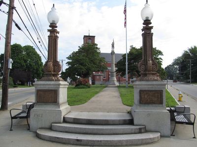
Jewett City, human settlement in Griswold, Connecticut, United States of America
Location: Griswold
Location: Southeastern Connecticut Planning Region
Location: New London County
Elevation above the sea: 47 m
GPS coordinates: 41.60667,-71.98083
Latest update: July 11, 2025 13:52
Canterbury Female Boarding School
10.2 km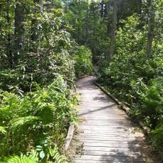
Pachaug State Forest
8.6 km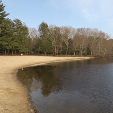
Hopeville Pond State Park
5.2 km
Ashlawn
5.6 km
Salt Rock State Campground
9.9 km
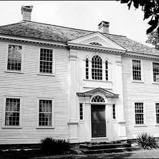
Prudence Crandall House
10.2 km
Kinne Cemetery
9.6 km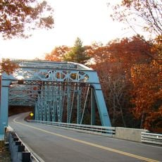
Butts Bridge
5 km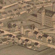
Ashland Mill Bridge
262 m
Quinebaug Trail
10.7 km
Mohegan State Forest
10.7 km
Greeneville
10.3 km
Anshei Israel Synagogue
1.7 km
Avery House
5.6 km
Andrew Clark House
1.6 km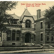
Slater Library and Fanning Annex
334 m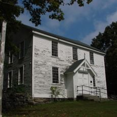
Long Society Meetinghouse
9.3 km
Canterbury Center Historic District
10.6 km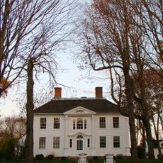
Capt. John Clark House
6.3 km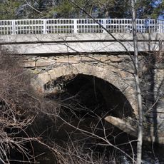
Packerville Bridge
7.2 km
Timothy Lester Farmstead
4.7 km
Lawton Mills Historic District
9.2 km
William Park House
8.3 km
John Wilson House
96 m
Lathrop-Mathewson-Ross House
1.9 km
Mill Brook Bridge
7.3 km
Edward Cogswell House
7 km
Col. Joshua Huntington House
11.1 kmReviews
Visited this place? Tap the stars to rate it and share your experience / photos with the community! Try now! You can cancel it anytime.
Discover hidden gems everywhere you go!
From secret cafés to breathtaking viewpoints, skip the crowded tourist spots and find places that match your style. Our app makes it easy with voice search, smart filtering, route optimization, and insider tips from travelers worldwide. Download now for the complete mobile experience.

A unique approach to discovering new places❞
— Le Figaro
All the places worth exploring❞
— France Info
A tailor-made excursion in just a few clicks❞
— 20 Minutes