
Bedminster, Township in Somerset County, United States
Bedminster is a township in Somerset County, New Jersey, covering residential areas and business zones across roughly 67 square kilometers (26 square miles). The territory sits in the central part of the state and connects rural sections with modern commercial spaces.
Colonists from the Netherlands, Germany, and Scotland-Ireland founded the settlement in 1710 during English colonial rule. King George II granted the official royal charter for self-government in 1749.
The name combines old English elements linking church and community roots from Anglo-Saxon tradition. Today the place functions as a typical American township with municipal buildings and service offices for residents.
The township hall on Miller Lane offers access to municipal services during standard business hours on weekdays. Roads through the township are mostly accessible by car, as many locations spread out over a wide area.
A major telecommunications center monitors nationwide data traffic for millions of connections from this location. Less known is that during the Revolution a military training ground for artillery existed in the area.
Location: Somerset County
Inception: April 4, 1749
Shares border with: Chester Township, Branchburg, Far Hills, Tewksbury Township, Readington Township, Bridgewater Township, Bernards Township, Peapack-Gladstone, Washington Township
Website: https://bedminster.us
GPS coordinates: 40.68066,-74.64544
Latest update: December 5, 2025 16:35

Devil's Tree
7.7 km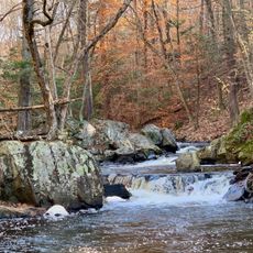
Hacklebarney State Park
10.1 km
Sri Venkateswara Temple
6 km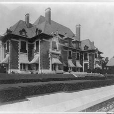
Blairsden
3.8 km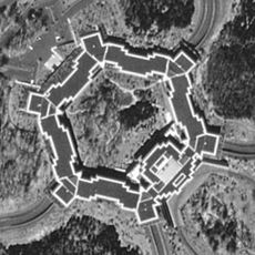
Merck headquarters
12 km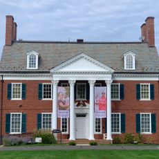
USGA Museum
3.2 km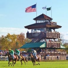
Far Hills Races
1.9 km
Willowwood Arboretum
6.8 km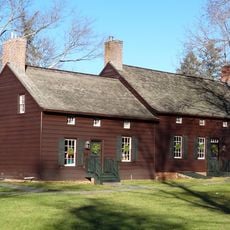
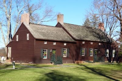
Jacobus Vanderveer House
1.6 km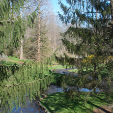
Leonard J. Buck Garden
2.1 km
Bamboo Brook Outdoor Education Center
7.7 km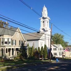
Oldwick Historic District
8.8 km
Moggy Hollow Natural Area
2.8 km
Pluckemin Village Historic District
3.8 km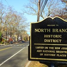
North Branch Historic District
9.1 km
Taylor's Mill Historic District
10.4 km
Bartles House
9.2 km
Lamington Historic District
6.5 km
Fairmount Historic District
11.7 km
Jacob Vosseller House
8.5 km
Kline Farmhouse
9 km
Whitehouse-Mechanicsville Historic District
11.7 km
Natirar
2 km
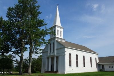
Zion Lutheran Church
8.8 km
Pottersville Reformed Church
7.3 km
Pottersville Village Historic District
7.4 km
Potterstown Rural Historic District
12.4 km
Liberty Corner Historic District
5.7 kmReviews
Visited this place? Tap the stars to rate it and share your experience / photos with the community! Try now! You can cancel it anytime.
Discover hidden gems everywhere you go!
From secret cafés to breathtaking viewpoints, skip the crowded tourist spots and find places that match your style. Our app makes it easy with voice search, smart filtering, route optimization, and insider tips from travelers worldwide. Download now for the complete mobile experience.

A unique approach to discovering new places❞
— Le Figaro
All the places worth exploring❞
— France Info
A tailor-made excursion in just a few clicks❞
— 20 Minutes