Enable Location

We need your location to show you interesting places around you

Discover nearby places

Find interesting locations and hidden gems around you

Precise directions

Get accurate directions and distances to places

Your location is never shared with other users. It's only used when you tap the location button.

Somerset County

Log in to your account

Start exploring — it's free

Trusted by 62,370 travelers worldwide

Continue with Google
Continue with Apple
or

We will send you a code to connect

By continuing, you accept our Terms and Conditions and our Privacy Policy

Check your inbox

We've sent a pincode in your inbox. Please enter the code below.

Somerset County, Administrative county in New Jersey, United States

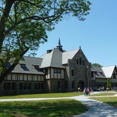
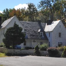
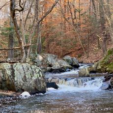
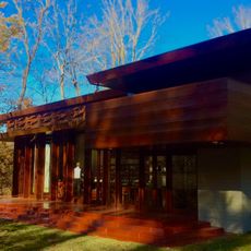
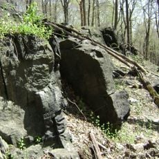
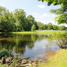
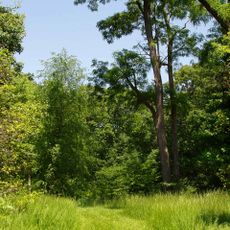
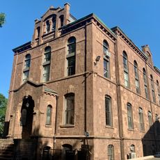
Somerset County is an administrative district in north-central New Jersey, roughly 32 miles (52 km) southwest of New York City. The landscape includes rolling hills along the Raritan River, open fields in the western sections, and densely settled communities in the east, with small town centers preserving 18th and 19th century buildings.

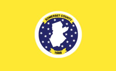
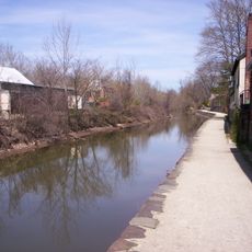
The district was created in 1688 from parts of Middlesex County and named after an English shire. During the Revolutionary War, troops from both sides crossed the area repeatedly, and Washington used the high ground at Middlebrook as a winter encampment for his army in two separate seasons.

The region takes its name from Somerset in England and now shows a mix of historic villages and modern suburbs. Visitors often see wide green spaces between residential areas and find farmers markets where local growers sell their produce and families shop on weekends.

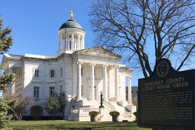
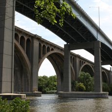
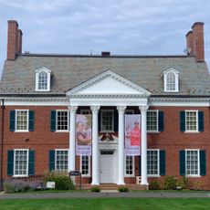
Most services and offices are located in the county administration building in Somerville, where visitors can obtain maps and information about parks and public facilities. Drivers reach the main towns via several highways that cross the area and link with larger cities nearby.

The area hosts one of the oldest continuously operating farmers markets in the state, drawing visitors for more than a century. Some of the western towns still preserve fields and orchards that have been farmed by the same families for generations, showing the agricultural past of the region.

The community of curious travelers

AroundUs brings together thousands of curated places, local tips, and hidden gems, enriched daily by 60,000 contributors worldwide.

Start exploring
Location
Inception
1688
Capital city
Somerville
Shares border with
Morris County, Union County, Middlesex County, Mercer County, Hunterdon County
GPS coordinates
40.56000,-74.61000
Latest update
December 13, 2025 15:49
Around this place
Duke Farms
United States of America

Duke Farms

769 m
SHI Stadium
United States of America

SHI Stadium

13.3 km
Antiochian Orthodox Christian Archdiocese of North America
United States of America

Antiochian Orthodox Christian Archdiocese of North America

16.9 km
Devil's Tree
United States of America

Devil's Tree

8.1 km
Robert Wood Johnson Medical School
United States of America

Robert Wood Johnson Medical School

12.2 km
Delaware and Raritan Canal
United States of America

Delaware and Raritan Canal

17.3 km
Great Swamp National Wildlife Refuge
United States of America

Great Swamp National Wildlife Refuge

20.5 km
Highfields
United States of America

Highfields

20.2 km
United States of America

BAPS Swaminarayan Mandir

17.3 km
Duke Gardens
United States of America

Duke Gardens

1.3 km
Hacklebarney State Park
United States of America

Hacklebarney State Park

23.3 km
Yurcak Field
United States of America

Yurcak Field

13.2 km
United States of America

Sri Venkateswara Temple

7.8 km
Blairsden
United States of America

Blairsden

17.3 km
Johnson and Johnson Plaza
United States of America

Johnson and Johnson Plaza

15.8 km
Bachman-Wilson House
United States of America

Bachman-Wilson House

6.9 km
Sourland Mountain
United States of America

Sourland Mountain

14.3 km
Sourland Mountain Preserve
United States of America

Sourland Mountain Preserve

12.7 km
D&R Canal Trail
United States of America

D&R Canal Trail

10 km
Washington Rock State Park
United States of America

Washington Rock State Park

13 km
Rutgers Gardens
United States of America

Rutgers Gardens

18.5 km
United States of America

College Avenue Campus

16.2 km
Donald and Morris Goodkind Bridges
United States of America

Donald and Morris Goodkind Bridges

18.3 km
Rutgers University Geology Museum
United States of America

Rutgers University Geology Museum

15.4 km
USGA Museum
United States of America

USGA Museum

11.8 km
Zimmerli Art Museum at Rutgers University
United States of America

Zimmerli Art Museum at Rutgers University

15.4 km
Queens Campus, Rutgers University
United States of America

Queens Campus, Rutgers University

15.5 km
United States of America

Voorhees Mall

15.3 km
Show the full map
Administrative divisions
« Somerset County - Administrative county in New Jersey, United States » is provided by Around Us (aroundus.com). Images and texts are derived from Wikimedia project under a Creative Commons license. You are allowed to copy, distribute, and modify copies of this page, under the conditions set by the license, as long as this note is clearly visible.

Discover hidden gems everywhere you go!

From secret cafés to breathtaking viewpoints, skip the crowded tourist spots and find places that match your style. Our app makes it easy with voice search, smart filtering, route optimization, and insider tips from travelers worldwide. Download now for the complete mobile experience.

Around Us App Screenshot

A unique approach to discovering new places

Le Figaro

All the places worth exploring

France Info

A tailor-made excursion in just a few clicks

20 Minutes

Around Us
Travel Guide & Maps
Download

Send to your phone

QR Code
1

Open the camera app on your mobile.

2

Point at the QR code with your camera. A notification will appear.

3

Tap the notification to open the link.