Marshall County

Log in to your account

AroundUs is a community-driven map of interesting places, built by curious explorers like you. It grows with every review, story, and photo you share.
Connect to save your favorite spots, contribute locations, and create personalized routes.
By continuing, you accept our Terms and Conditions and our Privacy Policy
Add to collection
Map
Suggest a change
Share

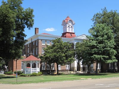
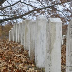
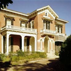
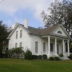
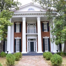
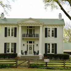
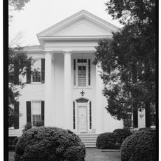
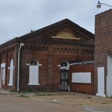
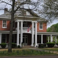
Marshall County, Administrative county seat in northern Mississippi, United States.

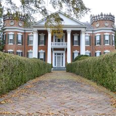
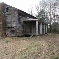
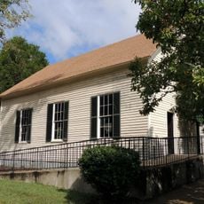
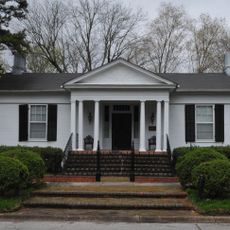
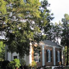
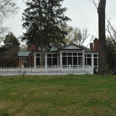
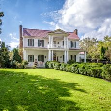
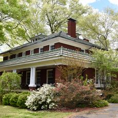
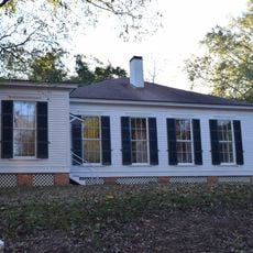
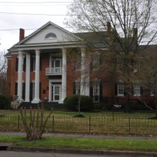
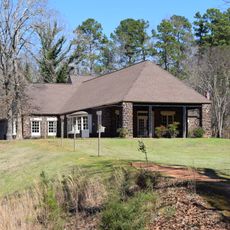
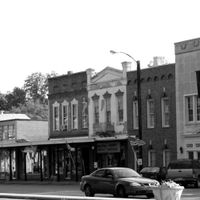
Marshall County is an administrative division in northern Mississippi with forests and several towns spread across its landscape. The area is connected by major highways and includes a mix of woodland, farmland, and developed communities.

This administrative region was established in 1836 and named after Chief Justice John Marshall from the early 1800s. The creation reflected the expansion and organization of Mississippi during that era.

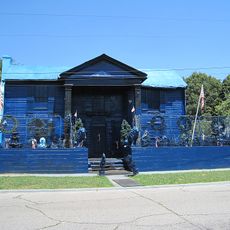
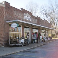
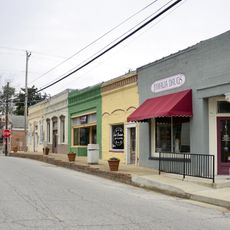
Music and craft traditions form part of the local identity and shape how residents engage with their community spaces. These practices appear naturally in the daily rhythm of towns and neighborhoods across the region.

Interstate 22, Interstate 269, and US Route 72 are the main highways connecting the towns and centers throughout the area. Getting around this spread-out region requires a vehicle, so plan your travel between locations in advance.

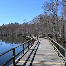
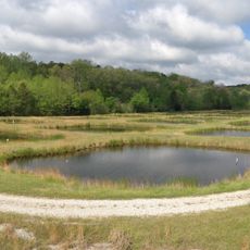
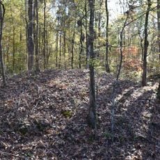
The Holly Springs National Forest sits within these borders and provides a significant woodland area that defines much of the region's character. This forest is a defining feature that many visitors find when exploring the natural side of the county.

Location: Mississippi

Inception: 1836

Capital city: Holly Springs

Shares border with: Fayette County, Lafayette County, Benton County, Union County, Tate County, DeSoto County, Shelby County

Website: http://marshall-county.com

GPS coordinates: 34.77000,-89.51000

Latest update: December 7, 2025 19:22

Photos
Around this place
Graceland Too
United States of America

Graceland Too

6 km
Wall Doxey State Park
United States of America

Wall Doxey State Park

13.2 km
Walter Place
United States of America

Walter Place

5.1 km
Hillcrest Cemetery
United States of America

Hillcrest Cemetery

5.9 km
Ammadelle
United States of America

Ammadelle

44.3 km
Boling-Gatewood House
United States of America

Boling-Gatewood House

5.9 km
University of Mississippi Field Station
United States of America

University of Mississippi Field Station

39.1 km
Oakleigh
United States of America

Oakleigh

6.3 km
John M. Fleming Home Place
United States of America

John M. Fleming Home Place

31 km
La Grange Historic District
United States of America

La Grange Historic District

38.4 km
Dunvegan
United States of America

Dunvegan

5.4 km
Old Water and Electric Light Plant
United States of America

Old Water and Electric Light Plant

5.7 km
George Wright Young House
United States of America

George Wright Young House

43.5 km
Urban Air Trampoline and Adventure Park
United States of America

Urban Air Trampoline and Adventure Park

33.7 km
Hopewell Presbyterian Church
United States of America

Hopewell Presbyterian Church

42.9 km
Southwest Holly Springs Historic District
United States of America

Southwest Holly Springs Historic District

5.4 km
Immanuel Church
United States of America

Immanuel Church

39.1 km
Dr. Isham G. Bailey House
United States of America

Dr. Isham G. Bailey House

26.9 km
Civil War Earthworks at Tallahatchie Crossing
United States of America

Civil War Earthworks at Tallahatchie Crossing

23.8 km
Myers-Hicks Place
United States of America

Myers-Hicks Place

17.6 km
Miller House
United States of America

Miller House

38.2 km
John B. McFerrin House
United States of America

John B. McFerrin House

33.9 km
Rossville Historic District
United States of America

Rossville Historic District

31.1 km
Lucius Q. C. Lamar House
United States of America

Lucius Q. C. Lamar House

44.3 km
East Holly Springs Historic District
United States of America

East Holly Springs Historic District

6.3 km
Byhalia Historic District
United States of America

Byhalia Historic District

19.9 km
North Lamar Historic District
United States of America

North Lamar Historic District

44.7 km
Wall Doxey State Park Historic District
United States of America

Wall Doxey State Park Historic District

12.6 km
Show the full map
Reviews

Visited this place? Tap the stars to rate it and share your experience / photos with the community! Try now! You can cancel it anytime.

Administrative divisions
« Marshall County - Administrative county seat in northern Mississippi, United States » is provided by Around Us (aroundus.com). Images and texts are derived from Wikimedia project under a Creative Commons license. You are allowed to copy, distribute, and modify copies of this page, under the conditions set by the license, as long as this note is clearly visible.

Discover hidden gems everywhere you go!

From secret cafés to breathtaking viewpoints, skip the crowded tourist spots and find places that match your style. Our app makes it easy with voice search, smart filtering, route optimization, and insider tips from travelers worldwide. Download now for the complete mobile experience.

Around Us App Screenshot

A unique approach to discovering new places

Le Figaro

All the places worth exploring

France Info

A tailor-made excursion in just a few clicks

20 Minutes