Mahnomen County

Log in to your account

AroundUs is a community-driven map of interesting places, built by curious explorers like you. It grows with every review, story, and photo you share.
Connect to save your favorite spots, contribute locations, and create personalized routes.
Continue with Google
Continue with Apple
Continue with X
Continue with Facebook
Continue with email
By continuing, you accept our Terms and Conditions and our Privacy Policy
Create an account
Add to collection
Map
Suggest a change
Share

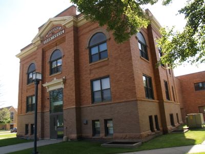
Mahnomen County, Administrative county in Minnesota, United States.

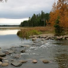
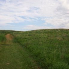
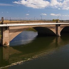
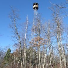
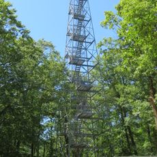
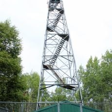
Mahnomen County is an administrative division in Minnesota with gently rolling terrain, scattered lakes, and wooded sections throughout. The landscape combines open spaces and forests crossed by major roadways that link the county's communities together.

The county was established in 1906 when it was separated from Norman County to the west. Its name comes from an Ojibwe word referring to wild rice, an important plant in the region's past.

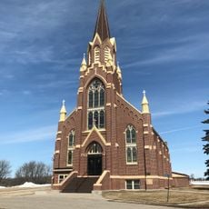
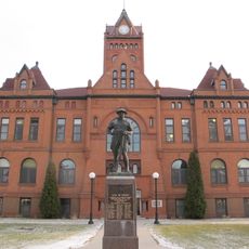
The county is home to both Native American and non-Native residents who shape daily community life together. This coexistence is visible in local traditions and how people interact in towns and rural areas.

Three main highways serve the area: U.S. Highway 59 and Minnesota State Highways 113 and 200 connect the towns and surrounding communities. It is helpful to know that this is rural territory, so services and supplies are concentrated in small town centers.

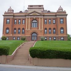
It is Minnesota's only county entirely contained within an Indian reservation, the White Earth Reservation, which shapes how governance and community decisions are made. This distinctive arrangement blends tribal and county administration in a way found nowhere else in the state.

Location: Minnesota

Inception: December 27, 1906

Capital city: Mahnomen

Shares border with: Polk County, Becker County, Clearwater County, Norman County

Website: http://co.mahnomen.mn.us

GPS coordinates: 47.33000,-95.81000

Latest update: December 7, 2025 20:48

Photos
Around this place
Itasca State Park
United States of America

Itasca State Park

46.6 km
Buffalo River State Park
United States of America

Buffalo River State Park

71.5 km
Glacial Ridge National Wildlife Refuge
United States of America

Glacial Ridge National Wildlife Refuge

57.8 km
Tamarac National Wildlife Refuge
United States of America

Tamarac National Wildlife Refuge

36.2 km
Paul Bunyan State Forest
United States of America

Paul Bunyan State Forest

59.1 km
Hamden Slough National Wildlife Refuge
United States of America

Hamden Slough National Wildlife Refuge

52 km
Church of St. Peter-Catholic
United States of America

Church of St. Peter-Catholic

70.3 km
Clearwater Evangelical Lutheran Church
United States of America

Clearwater Evangelical Lutheran Church

66.6 km
Red Lake County Courthouse
United States of America

Red Lake County Courthouse

70.9 km
Beltrami County Courthouse
United States of America

Beltrami County Courthouse

71.7 km
Congregational Church of Ada
United States of America

Congregational Church of Ada

53.1 km
Mahnomen County Courthouse
United States of America

Mahnomen County Courthouse

12.1 km
Nymore Bridge
United States of America

Nymore Bridge

71.8 km
Norman County Courthouse
United States of America

Norman County Courthouse

53.2 km
Gran Evangelical Lutheran Church
United States of America

Gran Evangelical Lutheran Church

34.1 km
United States of America

Debs Consolidated School

67.9 km
White Earth State Forest
United States of America

White Earth State Forest

36.4 km
Smoky Hills State Forest
United States of America

Smoky Hills State Forest

53.6 km
Buffalo River State Park WPA/Rustic Style Historic Resources
United States of America

Buffalo River State Park WPA/Rustic Style Historic Resources

72 km
Detroit Lakes City Park
United States of America

Detroit Lakes City Park

39.8 km
Height of Land Lookout Tower
United States of America

Height of Land Lookout Tower

25.6 km
Schoolcraft Fire Tower
United States of America

Schoolcraft Fire Tower

62 km
Aiton Heights Fire Tower
United States of America

Aiton Heights Fire Tower

49.6 km
Smoky Hills Lookout Tower
United States of America

Smoky Hills Lookout Tower

55.6 km
Kabekona Lookout Tower
United States of America

Kabekona Lookout Tower

71.5 km
Tulaby Lookout Tower
United States of America

Tulaby Lookout Tower

22.3 km
Recreation Building
United States of America

Recreation Building

58.2 km
LaSalle Lookout Tower
United States of America

LaSalle Lookout Tower

46.9 km
Show the full map
Reviews

Visited this place? Tap the stars to rate it and share your experience / photos with the community! Try now! You can cancel it anytime.

« Mahnomen County - Administrative county in Minnesota, United States » is provided by Around Us (aroundus.com). Images and texts are derived from Wikimedia project under a Creative Commons license. You are allowed to copy, distribute, and modify copies of this page, under the conditions set by the license, as long as this note is clearly visible.

Discover hidden gems everywhere you go!

From secret cafés to breathtaking viewpoints, skip the crowded tourist spots and find places that match your style. Our app makes it easy with voice search, smart filtering, route optimization, and insider tips from travelers worldwide. Download now for the complete mobile experience.

Around Us App Screenshot

A unique approach to discovering new places

Le Figaro

All the places worth exploring

France Info

A tailor-made excursion in just a few clicks

20 Minutes