Enable Location

We need your location to show you interesting places around you

Discover nearby places

Find interesting locations and hidden gems around you

Precise directions

Get accurate directions and distances to places

Your location is never shared with other users. It's only used when you tap the location button.

Bernardsville

Log in to your account

Start exploring — it's free

Trusted by 62,414 travelers worldwide

Continue with Google
Continue with Apple
or

We will send you a code to connect

By continuing, you accept our Terms and Conditions and our Privacy Policy

Check your inbox

We've sent a pincode in your inbox. Please enter the code below.

Bernardsville, Administrative borough in Somerset County, United States

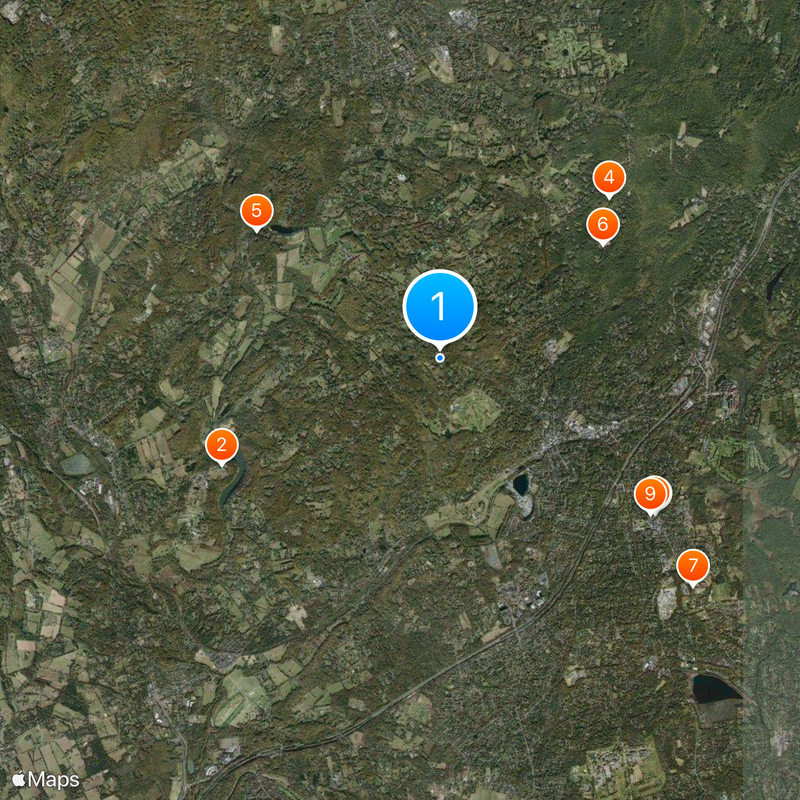
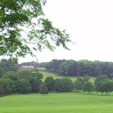
Bernardsville is an administrative borough in Somerset County featuring residential areas and business districts spread across rolling terrain. The town sits at an elevation of about 208 meters and covers a total area of 12.91 square miles.

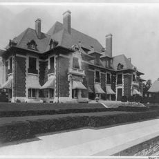
The area was originally called Vealtown before being renamed Bernardsville in 1840 to honor Sir Francis Bernard, a colonial governor of New Jersey. This name change marked the beginning of a new chapter for the borough.

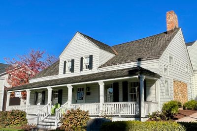
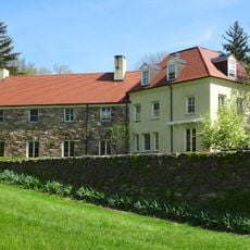
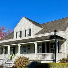
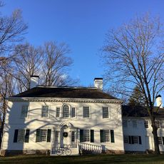
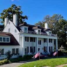
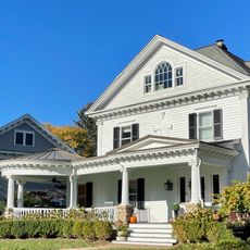
The Olcott Avenue Historic District displays homes from the 1800s that show how the town evolved over many decades. Walking through this area, you see architecture that reflects the tastes and ways of life from different time periods.

The Gladstone Branch railroad line connects the town to New York City with daily train service. Visitors and residents can use this line to access the city and explore surrounding areas.

A farmers market operates on Saturday mornings where regional producers sell fresh goods directly to visitors. This weekly gathering has become an important meeting place for the community.

The community of curious travelers

AroundUs brings together thousands of curated places, local tips, and hidden gems, enriched daily by 60,000 contributors worldwide.

Start exploring
Location
Elevation above the sea
208 m
Shares border with
Mendham Borough, Bernards Township, Mendham Township, Harding Township, Peapack-Gladstone, Far Hills
GPS coordinates
40.73056,-74.59250
Latest update
December 20, 2025 00:49
Around this place
Blairsden
United States of America

Blairsden

4.2 km
Basking Ridge White Oak Tree
United States of America

Basking Ridge White Oak Tree

4.5 km
James B. Christie House
United States of America

James B. Christie House

4 km
United States of America

Mortimer L. Schiff Scout Reservation

3.8 km
New Jersey Brigade Encampment Site
United States of America

New Jersey Brigade Encampment Site

3.4 km
Lord Stirling Park
United States of America

Lord Stirling Park

5.8 km
Presbyterian Church in Basking Ridge
United States of America

Presbyterian Church in Basking Ridge

4.5 km
Brick Academy
United States of America

Brick Academy

4.5 km
Cross Estate Gardens
United States of America

Cross Estate Gardens

3.4 km
United States of America

Schiff Nature Preserve

4.2 km
John Parker Tavern
United States of America

John Parker Tavern

2.4 km
Moggy Hollow Natural Area
United States of America

Moggy Hollow Natural Area

6.6 km
Morristown National Historical Park
United States of America

Morristown National Historical Park

3.5 km
Boudinot-Southard Farmstead
United States of America

Boudinot-Southard Farmstead

4.6 km
St. Bernard's Church and Parish House
United States of America

St. Bernard's Church and Parish House

1.9 km
Tempe Wick Road-Washington Corners Historic District
United States of America

Tempe Wick Road-Washington Corners Historic District

4.8 km
Reynolds-Scherman House
United States of America

Reynolds-Scherman House

3.1 km
Natirar
United States of America

Natirar

6.3 km
Basking Ridge Presbyterian Church Cemetery
United States of America

Basking Ridge Presbyterian Church Cemetery

4.4 km
United States of America

St. Joseph's Catholic Church

5.1 km
Olcott Avenue Historic District
United States of America

Olcott Avenue Historic District

2.3 km
United States of America

Allen Auditorium

5.9 km
United States of America

Ridge Cinema

6.3 km
Franklin Corners Historic District
United States of America

Franklin Corners Historic District

3.9 km
Tempe Wick House
United States of America

Tempe Wick House

5.6 km
Van Dorn's Mill
United States of America

Van Dorn's Mill

4.3 km
United States of America

Ralston Historic District

5.3 km
United States of America

Mendham Historic District

5.1 km
Show the full map
« Bernardsville - Administrative borough in Somerset County, United States » is provided by Around Us (aroundus.com). Images and texts are derived from Wikimedia project under a Creative Commons license. You are allowed to copy, distribute, and modify copies of this page, under the conditions set by the license, as long as this note is clearly visible.

Discover hidden gems everywhere you go!

From secret cafés to breathtaking viewpoints, skip the crowded tourist spots and find places that match your style. Our app makes it easy with voice search, smart filtering, route optimization, and insider tips from travelers worldwide. Download now for the complete mobile experience.

Around Us App Screenshot

A unique approach to discovering new places

Le Figaro

All the places worth exploring

France Info

A tailor-made excursion in just a few clicks

20 Minutes

Around Us
Travel Guide & Maps
Download

Send to your phone

QR Code
1

Open the camera app on your mobile.

2

Point at the QR code with your camera. A notification will appear.

3

Tap the notification to open the link.