Brewster, town in Massachusetts
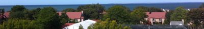
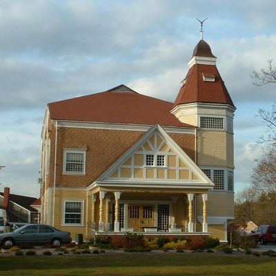
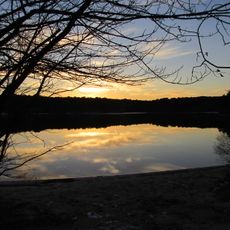
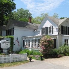
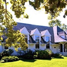
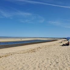
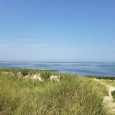
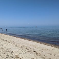
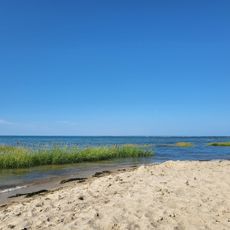
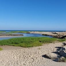
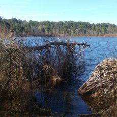
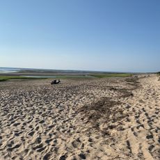
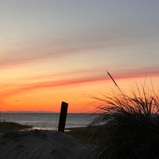
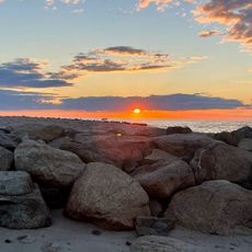
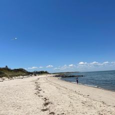
Brewster is a small town on the Cape Cod peninsula in Massachusetts that sits by the water and has a long history as a fishing community. The town features wide sandy beaches, quiet residential streets with well-maintained homes, small shops and cafes, and over 5000 acres of protected parks and natural areas with trails through salt marshes and forests.
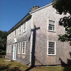
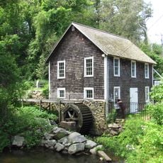
Brewster was founded in 1659 and named after William Brewster, an early leader in Plymouth. During the 18th and 19th centuries, shipping and over 60 salt production sites became the town's main industries, and later trains brought increased visitors to the area.
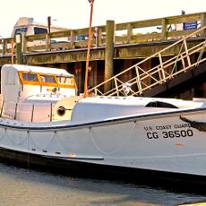
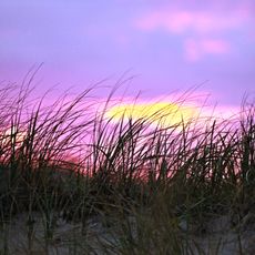
Brewster is named after William Brewster, an early settler, and is often called the sea captain's town because many ship captains made their homes here. Fishing and the ocean still shape how residents live today, with kayaking, boating, and watching sunrise over the water remaining beloved pastimes.
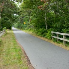
The town is easy to reach by car with nearby airports, and offers beaches for swimming and walking along with trails through parks and nature preserves. Most services like shops, libraries, and cafes are within walking distance or a short drive, making it easy to explore the area.
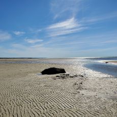
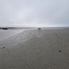
The Brewster Flats are a natural event where tides recede twice daily to reveal sandbars, clam beds, and pools full of sea life that visitors can explore. This rare phenomenon attracts many people eager to see how the shoreline transforms with the changing water levels.
The community of curious travelers
AroundUs brings together thousands of curated places, local tips, and hidden gems, enriched daily by 60,000 contributors worldwide.