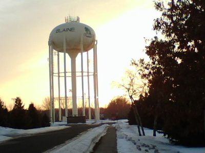
Blaine, Urban center in Anoka County and Ramsey County, Minnesota, United States
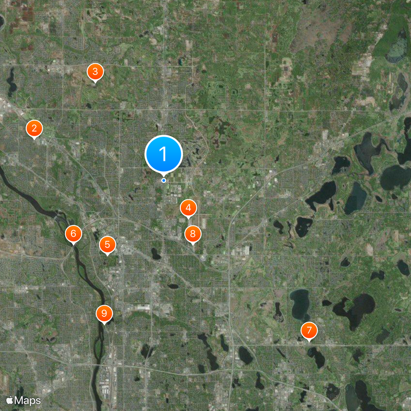
Blaine is a city that stretches across two counties, connected by main roads that link residential areas and community parks. The city sits close to Minneapolis and is crossed by Interstate 35W, which ties it to the region's hub.
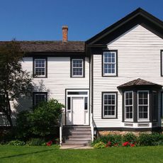
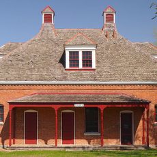
The city was founded in 1877 and began as farmland before transforming into a suburb from the mid-1900s onward. The construction of Interstate 35W shifted its growth and made it a key transportation hub for the area.
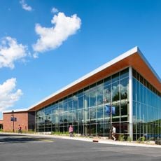
The National Sports Center draws people from across the region who come to compete, train, or watch events throughout the year. The facility shapes how the community sees itself and reflects the importance of athletics in local life.
Visitors can use several public transportation routes to get around the city and reach nearby destinations. The proximity to Minneapolis makes it easy to also reach larger attractions in the region.
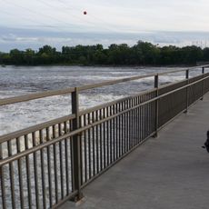
The Blaine Wetland Sanctuary protects more than 400 acres of marshland where native plants and animals thrive. This natural area lets visitors observe the region's wildlife and wetland ecosystems up close.
Location: Anoka County
Location: Ramsey County
Inception: 1877
Elevation above the sea: 275 m
Shares border with: Circle Pines, Lexington, Lino Lakes, Ham Lake, Fridley, Coon Rapids, Spring Lake Park
Website: http://ci.blaine.mn.us
GPS coordinates: 45.16080,-93.23495
Latest update: December 6, 2025 22:06
Heights Theater
13.5 km
Coon Rapids High School
7.6 km
KMSP Tower
14.3 km
Anoka-Champlin Mississippi River Bridge
13 km
Webber Park Library
14.7 km
Columbia Heights Public Library
13.4 km
Windego Park Auditorium/Open Air Theater
13 km
North Mississippi Regional Park
13.6 km
Richard P. Braun Bridge
6.1 km
Brooklyn Park Library
12.4 km
Brookdale Library
12.1 km
Banfill Tavern
8.6 km
Foss House
13 km
Colonial Hall and Masonic Lodge No. 30
12.6 km
Bohanon Park
13.6 km
Osseo Water Tower
13.9 km
Champlin Library
12.6 km
Heman L. Ticknor House
12.6 km
Shaw–Hammons House
13.2 km
Telefarm Towers Shoreview
14.4 km
District No. 28 School
14.8 km
James J. Hill's North Oaks Farm, Dairy Building
12.5 km
Porter Kelsey House
14.3 km
Waite Park
14.7 km
Elm Creek Park Reserve
13.9 km
Cavell Park
14.5 km
Soo Line Bridge
14.5 km
Coon Rapids Dam Regional Park
6 kmVisited this place? Tap the stars to rate it and share your experience / photos with the community! Try now! You can cancel it anytime.
Discover hidden gems everywhere you go!
From secret cafés to breathtaking viewpoints, skip the crowded tourist spots and find places that match your style. Our app makes it easy with voice search, smart filtering, route optimization, and insider tips from travelers worldwide. Download now for the complete mobile experience.
A unique approach to discovering new places❞
— Le Figaro
All the places worth exploring❞
— France Info
A tailor-made excursion in just a few clicks❞
— 20 Minutes