Enable Location

We need your location to show you interesting places around you

Discover nearby places

Find interesting locations and hidden gems around you

Precise directions

Get accurate directions and distances to places

Your location is never shared with other users. It's only used when you tap the location button.

Anoka County

Log in to your account

Start exploring — it's free

Trusted by 62,099 travelers worldwide

Continue with Google
Continue with Apple
or

We will send you a code to connect

By continuing, you accept our Terms and Conditions and our Privacy Policy

Check your inbox

We've sent a pincode in your inbox. Please enter the code below.

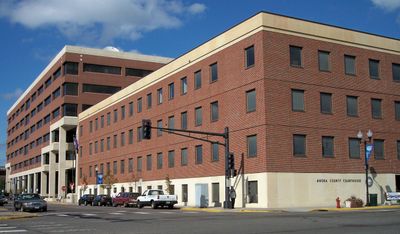
Anoka County, Administrative division in Minnesota, United States

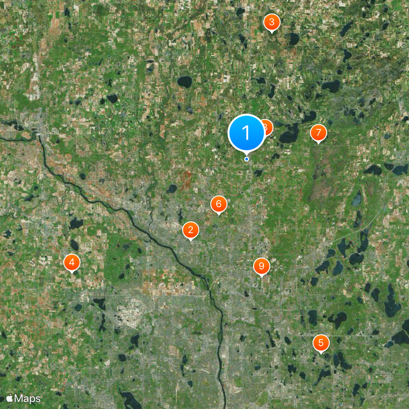
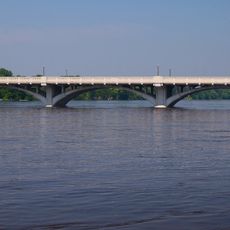
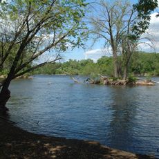
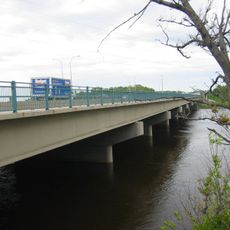
Anoka County is an administrative division in Minnesota that encompasses both urban centers and natural areas within its boundaries. The Mississippi River forms a natural boundary along its southwestern edge.

The county was established in 1857 as one of Minnesota's earliest administrative divisions during the territorial expansion period before the Civil War. Its formation was part of the state's early development.

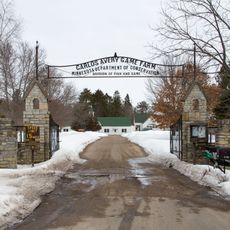
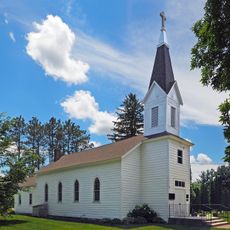
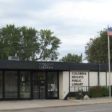
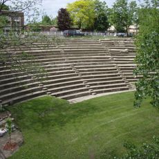
Local residents participate in numerous community events through the county's extensive parks system, libraries, and educational facilities across multiple municipalities.

The county provides various services at multiple locations, including vehicle registration, permits, and passport services for residents and visitors. It is helpful to visit local offices during regular business hours, as availability varies by location.

The county seat, Anoka, has hosted Halloween celebrations since 1920 with parades and community festivities. This tradition draws visitors from surrounding areas and has become an annual highlight for the region.

The community of curious travelers

AroundUs brings together thousands of curated places, local tips, and hidden gems, enriched daily by 60,000 contributors worldwide.

Start exploring
Location
Inception
May 23, 1857
Capital city
Anoka
Shares border with
Isanti County, Chisago County, Washington County, Ramsey County, Hennepin County, Sherburne County
GPS coordinates
45.27000,-93.24000
Latest update
December 19, 2025 23:44
Around this place
Coon Rapids High School
United States of America

Coon Rapids High School

11.9 km
Cedar Creek Ecosystem Science Reserve
United States of America

Cedar Creek Ecosystem Science Reserve

15.7 km
United States of America

Hindu Temple of Minnesota

25.3 km
KMSP Tower
United States of America

KMSP Tower

25.3 km
Bunker Beach
United States of America

Bunker Beach

7.5 km
Carlos Avery Game Farm
United States of America

Carlos Avery Game Farm

9 km
Swedish Evangelical Lutheran Church
United States of America

Swedish Evangelical Lutheran Church

3.4 km
United States of America

American Wings Air Museum

14.3 km
Anoka-Champlin Mississippi River Bridge
United States of America

Anoka-Champlin Mississippi River Bridge

15 km
Webber Park Library
United States of America

Webber Park Library

26.4 km
Columbia Heights Public Library
United States of America

Columbia Heights Public Library

25.5 km
Windego Park Auditorium/Open Air Theater
United States of America

Windego Park Auditorium/Open Air Theater

14.5 km
United States of America

I-694 Bridge

22.6 km
North Mississippi Regional Park
United States of America

North Mississippi Regional Park

25.4 km
United States of America

Springbrook Nature Center

16.5 km
Richard P. Braun Bridge
United States of America

Richard P. Braun Bridge

16.3 km
Tropics Indoor Water Park
United States of America

Tropics Indoor Water Park

22.7 km
Brooklyn Park Library
United States of America

Brooklyn Park Library

20.7 km
Brookdale Library
United States of America

Brookdale Library

23.4 km
United States of America

Golden Wings Flying Museum

15.8 km
Banfill Tavern
United States of America

Banfill Tavern

20.3 km
Anoka Post Office
United States of America

Anoka Post Office

14 km
Bunker Beach Water Park
United States of America

Bunker Beach Water Park

7.5 km
Foss House
United States of America

Foss House

25.2 km
Colonial Hall and Masonic Lodge No. 30
United States of America

Colonial Hall and Masonic Lodge No. 30

14.1 km
Jackson Hotel
United States of America

Jackson Hotel

14.1 km
Crescent Grange Hall No. 512
United States of America

Crescent Grange Hall No. 512

16.7 km
Bohanon Park
United States of America

Bohanon Park

25.4 km
Show the full map
« Anoka County - Administrative division in Minnesota, United States » is provided by Around Us (aroundus.com). Images and texts are derived from Wikimedia project under a Creative Commons license. You are allowed to copy, distribute, and modify copies of this page, under the conditions set by the license, as long as this note is clearly visible.

Discover hidden gems everywhere you go!

From secret cafés to breathtaking viewpoints, skip the crowded tourist spots and find places that match your style. Our app makes it easy with voice search, smart filtering, route optimization, and insider tips from travelers worldwide. Download now for the complete mobile experience.

Around Us App Screenshot

A unique approach to discovering new places

Le Figaro

All the places worth exploring

France Info

A tailor-made excursion in just a few clicks

20 Minutes

Around Us
Travel Guide & Maps
Download

Send to your phone

QR Code
1

Open the camera app on your mobile.

2

Point at the QR code with your camera. A notification will appear.

3

Tap the notification to open the link.