Enable Location

We need your location to show you interesting places around you

Discover nearby places

Find interesting locations and hidden gems around you

Precise directions

Get accurate directions and distances to places

Your location is never shared with other users. It's only used when you tap the location button.

Ramsey County

Log in to your account

Start exploring — it's free

Trusted by 61,559 travelers worldwide

Continue with Google
Continue with Apple
or

We will send you a code to connect

By continuing, you accept our Terms and Conditions and our Privacy Policy

Check your inbox

We've sent a pincode in your inbox. Please enter the code below.

Ramsey County, Administrative division in Minnesota, US

Description

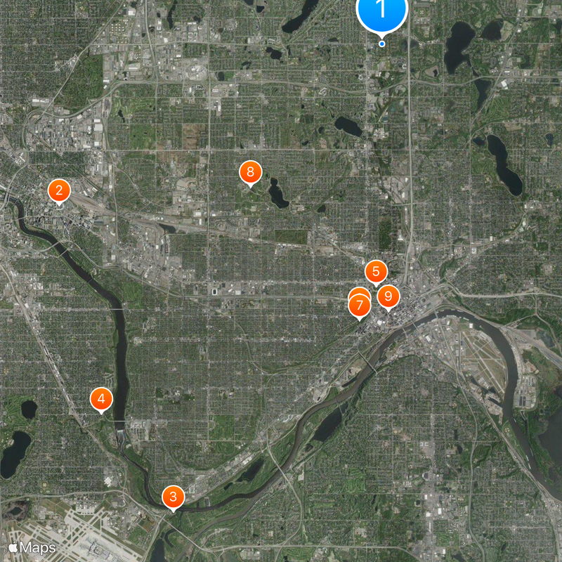
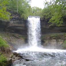
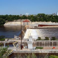
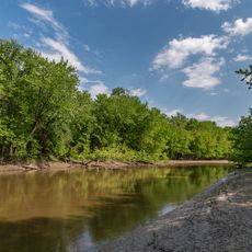
Ramsey County is located in eastern Minnesota and covers about 170 square kilometers (65 square miles), consisting of roughly 152 square kilometers of land and 18 square kilometers of water. The area extends across seventeen municipalities with a mix of urban and more rural sections.

History

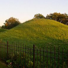
The Minnesota Territory established Ramsey County on October 27, 1849, naming it after Alexander Ramsey, the first territorial governor of Minnesota. The area had been home to Dakota peoples long before its official creation.

Culture

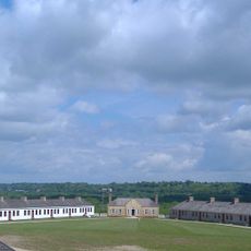
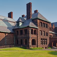
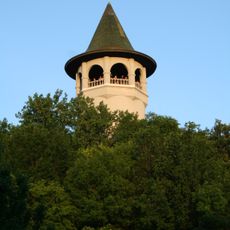
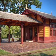
The Gibbs Museum in Falcon Heights displays how pioneers and Dakota peoples once lived and worked in this area. Visitors can see old buildings and everyday objects that tell the story of life during early settlement times.

Practical

The area has multiple transportation options including the Metro Green Line and bus connections to various municipalities. These connections make it easy to explore the county and move between different sections.

Did you know?

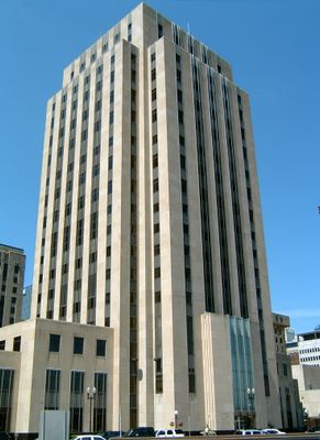
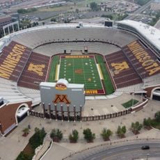
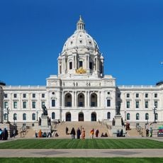
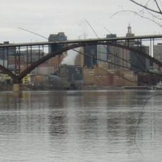
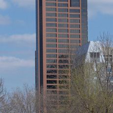
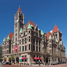
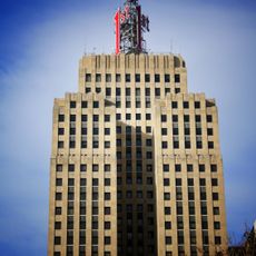
Despite being the smallest county by area in Minnesota, this territory contains Saint Paul, the state capital, and more than 550,000 residents. This high population density makes it one of the most important economic and administrative centers in the region.

Location
Inception
October 27, 1849
Capital city
Saint Paul
Shares border with
Anoka County, Washington County, Dakota County, Hennepin County
GPS coordinates
45.02000,-93.10000
Latest update
December 14, 2025 19:52

AroundUs brings together thousands of curated places, local tips, and hidden gems, enriched daily by 60,000 contributors worldwide. Discover all places nearby (Minnesota).

Around this place
Huntington Bank Stadium
United States of America

Huntington Bank Stadium

10.9 km
Fort Snelling
United States of America

Fort Snelling

15.5 km
Minnehaha Park
United States of America

Minnehaha Park

14.1 km
Minnesota State Capitol
United States of America

Minnesota State Capitol

7.3 km
Cathedral of Saint Paul, National Shrine of the Apostle Paul
United States of America

Cathedral of Saint Paul, National Shrine of the Apostle Paul

8.2 km
James J. Hill House
United States of America

James J. Hill House

8.4 km
Como Park Zoo and Conservatory
United States of America

Como Park Zoo and Conservatory

5.9 km
Mickey's Diner
United States of America

Mickey's Diner

8.1 km
F. Scott Fitzgerald House
United States of America

F. Scott Fitzgerald House

9 km
United States of America

Wabasha Street Caves

9.4 km
Como Zoo
United States of America

Como Zoo

6 km
Luther Seminary
United States of America

Luther Seminary

8.5 km
RiverCentre
United States of America

RiverCentre

8.5 km
Fitzgerald Theater
United States of America

Fitzgerald Theater

7.9 km
Statue of Christopher Columbus
United States of America

Statue of Christopher Columbus

7.3 km
Indian Mounds Park
United States of America

Indian Mounds Park

9.1 km
Ordway Center for the Performing Arts
United States of America

Ordway Center for the Performing Arts

8.4 km
Malcolm Willey House
United States of America

Malcolm Willey House

10.8 km
Smith Avenue High Bridge
United States of America

Smith Avenue High Bridge

9.7 km
Lock and Dam No. 1
United States of America

Lock and Dam No. 1

14.2 km
Prospect Park Water Tower
United States of America

Prospect Park Water Tower

10.6 km
Palace Theatre
United States of America

Palace Theatre

8 km
Wells Fargo Place
United States of America

Wells Fargo Place

8 km
Landmark Center
United States of America

Landmark Center

8.3 km
Minnesota Transportation Museum
United States of America

Minnesota Transportation Museum

6.4 km
Pike Island
United States of America

Pike Island

15.1 km
Lowertown Historic District
United States of America

Lowertown Historic District

8 km
First National Bank Building
United States of America

First National Bank Building

8.2 km
Show the full map
« Ramsey County - Administrative division in Minnesota, US » is provided by Around Us (aroundus.com). Images and texts are derived from Wikimedia project under a Creative Commons license. You are allowed to copy, distribute, and modify copies of this page, under the conditions set by the license, as long as this note is clearly visible.

Discover hidden gems everywhere you go!

From secret cafés to breathtaking viewpoints, skip the crowded tourist spots and find places that match your style. Our app makes it easy with voice search, smart filtering, route optimization, and insider tips from travelers worldwide. Download now for the complete mobile experience.

Around Us App Screenshot

A unique approach to discovering new places

Le Figaro

All the places worth exploring

France Info

A tailor-made excursion in just a few clicks

20 Minutes

Around Us
Travel Guide & Maps
Download

Send to your phone

QR Code
1

Open the camera app on your mobile.

2

Point at the QR code with your camera. A notification will appear.

3

Tap the notification to open the link.