
Loudonville, village in Ashland and Holmes counties in Ohio, United States
Location: Ohio
Elevation above the sea: 294 m
Website: http://loudonville-oh.us
GPS coordinates: 40.63580,-82.23310
Latest update: March 8, 2025 17:01

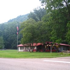
Mohican State Park
3.9 km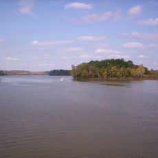
Charles Mill Lake
18.6 km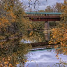
Bridge of Dreams
19.3 km
Renaissance Theatre
27.9 km
Brown's Lake Bog
15.3 km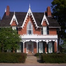
Oak Hill Cottage
28.2 km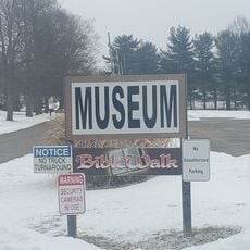
BibleWalk
27.8 km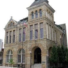
Mansfield Memorial Museum
27.6 km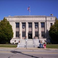
Ashland County Courthouse
27 km
Martin Bushnell House
27.7 km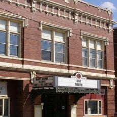
Ohio Theatre
169 m
Pomerene House
28 kmG. Adams House
28.2 km
Croco House
25.8 km
Anderson Schoolhouse
25.3 km
United Methodist Church
28 km
Samuel Lewis House
25.1 km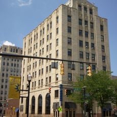
Richland Trust Building
27.5 km
Diamond Hill Cathedral
27.8 km
Malabar Farm State Park
13.4 km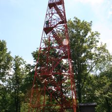
Mohican-Memorial State Forest Fire Tower
7 km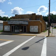
Duncan Theater
26.1 km
Park Theatre
27.4 km
Mansfield/Richland County Public Library
27.7 km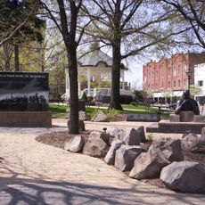
Central Park
27.5 km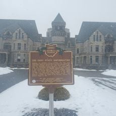
The Ohio State Reformatory
28.1 km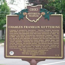
Charles Franklin Kettering
56 m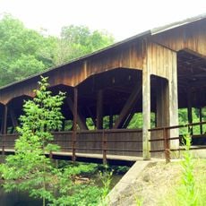
Mohican State Park Covered Bridge
7.5 kmVisited this place? Tap the stars to rate it and share your experience / photos with the community! Try now! You can cancel it anytime.
Discover hidden gems everywhere you go!
From secret cafés to breathtaking viewpoints, skip the crowded tourist spots and find places that match your style. Our app makes it easy with voice search, smart filtering, route optimization, and insider tips from travelers worldwide. Download now for the complete mobile experience.

A unique approach to discovering new places❞
— Le Figaro
All the places worth exploring❞
— France Info
A tailor-made excursion in just a few clicks❞
— 20 Minutes