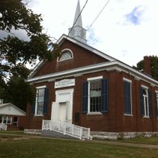
Harrodsburg, Colonial settlement in Mercer County, Kentucky, United States
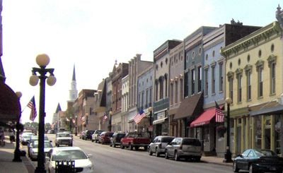
Harrodsburg is the county seat of Mercer County, Kentucky, set in a region known for horse farms and agricultural land. The town features historic districts and parks that preserve its early settlement heritage.
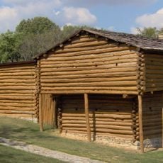
The settlement was founded in 1774 by James Harrod, becoming the first permanent English colony established west of the Allegheny Mountains. This pioneering effort opened the path for westward expansion across the continent.
The Old Fort Harrod State Park holds structures connected to George Rogers Clark and Abraham Lincoln's marriage, which draw visitors interested in how early frontier settlements shaped American identity. These buildings remain central to how locals understand their town's role in national history.
The town is accessible by car and offers self-guided walks through its historic districts and park areas. Plan to spend several hours to see the main sites without rushing.
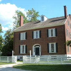
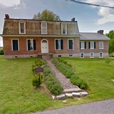
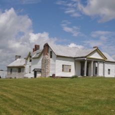
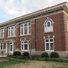
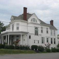
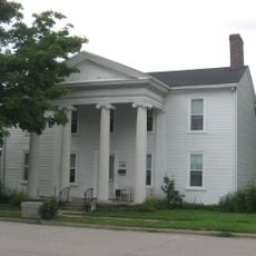
The Morgan Row Houses, built between 1807 and 1830, showcase a rare collection of residential buildings from the early western expansion era. These structures reveal how settlers adapted eastern architectural traditions to the frontier landscape.
The community of curious travelers
AroundUs brings together thousands of curated places, local tips, and hidden gems, enriched daily by 60,000 contributors worldwide.