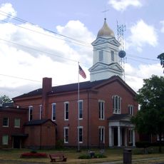
Montour Falls, village in New York
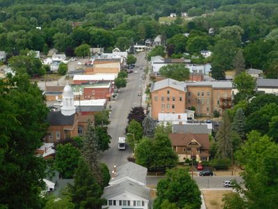
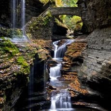
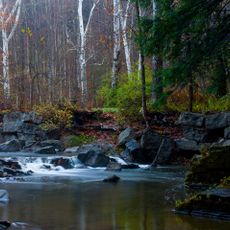
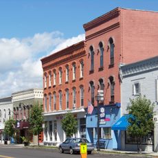
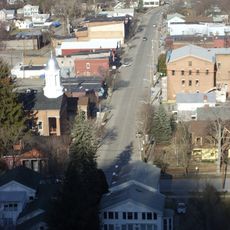
Montour Falls is a small village in Schuyler County, New York, known for the prominent Che-Qua-Ga Falls at the end of Main Street. The village has roughly 1,500 residents and spreads through a valley surrounded by hills that hold numerous smaller waterfalls and gorges throughout the landscape.
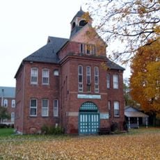
The area was originally home to the Seneca, whose village was destroyed in 1779 during the American Revolution. The settlement was later founded as Havana in 1836 and renamed to Montour Falls in 1893, reflecting the region's evolving identity.
The village name honors Queen Catharine Montour, a Seneca leader of French heritage whose legacy remains woven into local identity today. Residents and visitors visit the memorial at her burial site to acknowledge her role in the area's past.
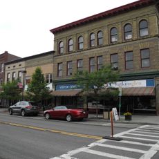
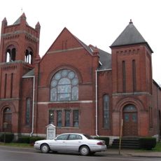
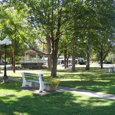
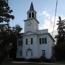
The village is easy to walk through, with shops and cafes along Main Street accessible year-round. Bring sturdy footwear if you plan to hike to the waterfalls, as trails pass through valleys and around wet areas near falling water.
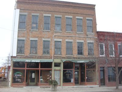
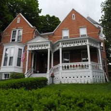
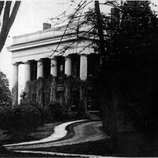
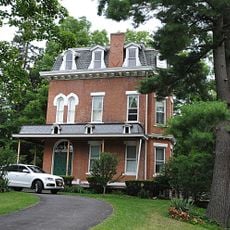
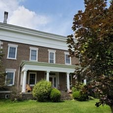
The Montour House, built in 1840, was carefully restored after years of neglect and now holds a stylish cafe on the ground floor with residential apartments above. The renovation won recognition for preserving the town's character while breathing new life into a historic building.
The community of curious travelers
AroundUs brings together thousands of curated places, local tips, and hidden gems, enriched daily by 60,000 contributors worldwide.