Enable Location

We need your location to show you interesting places around you

Discover nearby places

Find interesting locations and hidden gems around you

Precise directions

Get accurate directions and distances to places

Your location is never shared with other users. It's only used when you tap the location button.

Catharine Valley Trail

Log in to your account

Join the adventure

Create your free account and start exploring (like 60k+ others)

We will send you a code to connect

or
Continue with Google
Continue with Apple
By continuing, you accept our Terms and Conditions and our Privacy Policy

Check your inbox

We've sent a pincode in your inbox. Please enter the code below.

Catharine Valley Trail

Catharine Valley Trail, Recreational trail in Finger Lakes, United States.

Description

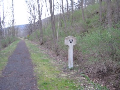
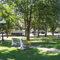
Catharine Valley Trail is a walking path that stretches about 14 miles through upstate New York between Watkins Glen and Horseheads. The route follows compacted stone surfaces through forests with a mix of open sections and wooded areas along the way.

History

The path reuses sections of the former Northern Central Railway and the Chemung Canal towpath dating to the 1800s. These old transport routes once moved goods and people between towns and shaped how the region grew.

Culture

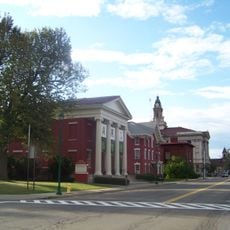
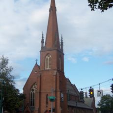
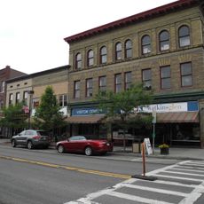
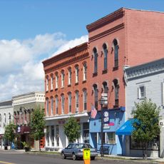
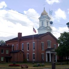
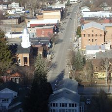
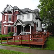
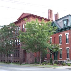
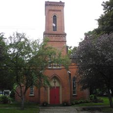
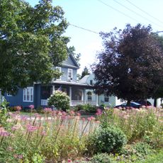
The trail links small communities across the Finger Lakes region, letting visitors walk through the heart of local towns and see how they are connected. You experience the everyday character of these rural settlements as you pass through their neighborhoods.

Practical

Several trailheads along the route offer different starting points, with parking available at locations near Watkins Glen and Horseheads. You can choose to walk the full distance or select shorter sections that fit your schedule and ability.

Did you know?

The trail passes near a wetland area designated as an Important Bird Area that hosts migratory birds traveling along a major route on the Atlantic coast. Birdwatchers often spot species here during migration seasons.

Location
GPS coordinates
42.28658,-76.84575
Latest update
December 12, 2025 09:04

AroundUs brings together thousands of curated places, local tips, and hidden gems, enriched daily by 60,000 contributors worldwide. Discover all places nearby (New York).

Around this place
Watkins Glen International
United States of America

Watkins Glen International

8.7 km
Watkins Glen State Park
United States of America

Watkins Glen State Park

10.3 km
Eldridge Park
United States of America

Eldridge Park

19.2 km
Quarry Farm
United States of America

Quarry Farm

20 km
United States of America

Woodlawn National Cemetery

19.8 km
Arnot Art Museum
United States of America

Arnot Art Museum

22.1 km
Trinity Church
United States of America

Trinity Church

22.1 km
John W. Jones House
United States of America

John W. Jones House

20 km
Elmira College Old Campus
United States of America

Elmira College Old Campus

21.2 km
Watkins Glen Commercial Historic District
United States of America

Watkins Glen Commercial Historic District

10.8 km
A. F. Chapman House
United States of America

A. F. Chapman House

10.8 km
Hanover Square Historic District
United States of America

Hanover Square Historic District

13.4 km
Zimmerman House
United States of America

Zimmerman House

14 km
Pentecostal Holy Temple Church of Jesus Christ
United States of America

Pentecostal Holy Temple Church of Jesus Christ

20.2 km
Schuyler County Courthouse Complex
United States of America

Schuyler County Courthouse Complex

10.2 km
Near Westside Historic District
United States of America

Near Westside Historic District

22 km
Teal Park
United States of America

Teal Park

13.8 km
Montour Falls Historic District
United States of America

Montour Falls Historic District

6.5 km
Pratt House
United States of America

Pratt House

21.8 km
William S. Gerity House
United States of America

William S. Gerity House

21.7 km
St. Patrick's Parochial Residence-Convent and School
United States of America

St. Patrick's Parochial Residence-Convent and School

21.7 km
Lattin-Crandall Octagon Barn
United States of America

Lattin-Crandall Octagon Barn

7 km
Elmira Heights Village Hall
United States of America

Elmira Heights Village Hall

17.6 km
St. James Episcopal Church
United States of America

St. James Episcopal Church

10.6 km
Horseheads 1855 Extension Historic District
United States of America

Horseheads 1855 Extension Historic District

13.9 km
Watkins Glen Public Library
United States of America

Watkins Glen Public Library

9.7 km
Steele Memorial Library
United States of America

Steele Memorial Library

22.1 km
Horseheads Free Library
United States of America

Horseheads Free Library

13.7 km
Show the full map
« Catharine Valley Trail - Recreational trail in Finger Lakes, United States » is provided by Around Us (aroundus.com). Images and texts are derived from Wikimedia project under a Creative Commons license. You are allowed to copy, distribute, and modify copies of this page, under the conditions set by the license, as long as this note is clearly visible.

Discover hidden gems everywhere you go!

From secret cafés to breathtaking viewpoints, skip the crowded tourist spots and find places that match your style. Our app makes it easy with voice search, smart filtering, route optimization, and insider tips from travelers worldwide. Download now for the complete mobile experience.

Around Us App Screenshot

A unique approach to discovering new places

Le Figaro

All the places worth exploring

France Info

A tailor-made excursion in just a few clicks

20 Minutes

Around Us
Travel Guide & Maps
Download

Send to your phone

QR Code
1

Open the camera app on your mobile.

2

Point at the QR code with your camera. A notification will appear.

3

Tap the notification to open the link.